Download
1 / 20
200 likes | 291 Views
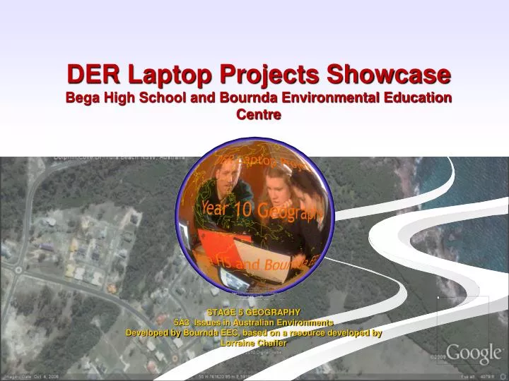
DER Laptop Projects Showcase Bega High School and Bournda Environmental Education Centre. STAGE 5 GEOGRAPHY 5A3 Issues in Australian Environments Developed by Bournda EEC, based on a resource developed by Lorraine Chaffer. What is this topic about?.

E N D
DER Laptop Projects ShowcaseBega High School and Bournda Environmental Education Centre STAGE 5 GEOGRAPHY 5A3 Issues in Australian Environments Developed by Bournda EEC, based on a resource developed by Lorraine Chaffer
What is this topic about? • Geography research action plan (RAP) focusing on Dolphin Cove(Tura Beach) and Bournda National Park on the South Coast of NSW • The topic covers the Stage 5 Geography Syllabus, Focus Area 5A3: Issues in Australian Environments, Management of Coastal Issues • The focus issue is management of a coastal environment.
Planning the unit with staff and training in Google Earth for staff Classroom Activities – Coastal Management, introduction to RAP, using Google Earth, fieldwork outline, multimedia presentation Fieldwork at Dolphin Cove, Bournda National Park Enrichment Day with selected students Competition Evaluation Project Activities
What are the issues? How is each area managed? What management strategies can you find evidence of? MAKING CONNECTIONS –HUMAN IMPACTS ON THE COASTAL ENVIRONMENT
Brainstorm-think!! Complete this brainstorming activity – what issues can you think of?
RAP and Fieldwork The task involved • Developing a research action plan. • Gathering primary data on coastal management issues in the field including notes, digital photographs, video. • Completing your fieldwork notebook and fieldwork tasks like using GPS and drawing vegetation profiles. Students working in the field aka fieldwork
Using Geospatial technologies • “Augmented reality” • Using computers to layer map information for digital storage, analysis and manipulation. • Use GIS to “augment” reality
Using Google EarthA GIS can be a useful tool for exploring our environment. Google Earth was used to explore the study area before fieldwork and as a platform for a multimedia presentation of the student research action plan. Google Earth view of Dolphin Cove showing catchment boundary and creeks
What can you add? Built in content • Imagery (inc.historical) • Databases Add your own: • Placemarks • Overlays • Polygon • Path • Record a tour Measure • Ruler Explore • Street view • Use these resources and tools to develop your own content by adding: • Text • Images • Image overlay • Audio • Video • Hyperlinks • Html • GPS data
Some useful tips • DER Version is 5.2.1(on mine anyway!) • Save regularly • Use Revert button • Keep places folder empty – save to another location • Organise data files logically • Close Google featured content layers • Image files – no spaces in file name • Keep images small • DER laptops – handling windows can be a problem (use F11- full screen key) • Set options • Develop content on machines that it is going to be used on
Enrichment Day • Data collected during fieldwork was used to prepare a multimedia presentation using Google Earth.
Evaluation • Evaluation data indicated positive outcomes for teachers and students • All reported they were more confident about using the DER laptops • 100% of the teachers reported that they thought the DER laptop component effectively supported the fieldwork • 83% of students reported that they felt that Google Earth could help them learn Geography • 83% reported that they would like to do more activities with Google Earth • Support materials and instructions need to be improved to reduce dependency on specialist support
Future Directions • Improved teaching materials • Improved instructions for teachers and students • More effective integration of teaching and learning materials into Google Earth • More time? • Improvements to Google Earth?
So in Summary! • Learn how to drive GE • Come up with engaging contexts • Add content (and get data from other sources) • Customise content Save your Work! Make interesting presentations (eg. Tours) Manage your files (outside GE) Develop structured resources that cater for pre-visit and post-visit for Geog fieldwork
Keep it real...but augment it with Google Earth! • Acknowledgements • Sharon Champagne for project coordination at the school level and making it work! • Phil Lord (TSO Bega HS) for technical support. • Kath Miller, Head Teacher for organisation of the numerous fieldwork and project dates! • Bega HS teachers for their positive attitude in trying new technology and materials • Bega HS Year 10 students for their enthusiasm and application to fieldwork and computer tasks