Download
1 / 1
10 likes | 93 Views
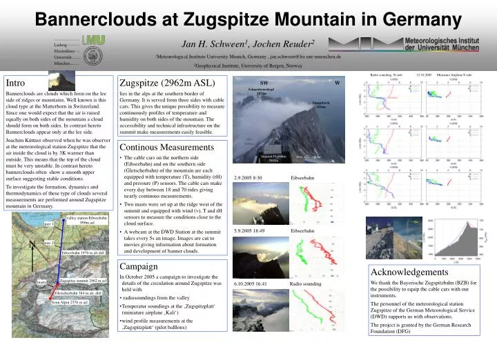
SW. W. Schneefernerkopf 2874m. Zugspitzeck 2816m. UFS 2656m. Summit Platform 2955m. valley station Eibseebahn 990m asl. pier 1. N. pier 2. Eibseebahn 1970 m alt.diff. Zugspitze summit 2962 m asl. masts. 9m. Gletscherbahn 384 m alt. diff. Sonn Alpin 2576 m asl. 3.7m. 2.6m.

E N D
SW W Schneefernerkopf 2874m Zugspitzeck 2816m UFS 2656m Summit Platform 2955m valley station Eibseebahn 990m asl pier 1 N pier 2 Eibseebahn 1970 m alt.diff. Zugspitze summit 2962 m asl masts 9m Gletscherbahn 384 m alt. diff. Sonn Alpin 2576 m asl. 3.7m 2.6m Bannerclouds at Zugspitze Mountain in GermanyJan H. Schween1, Jochen Reuder21Meteorological Institute University Munich, Germany , jan.schween@lrz.uni-muenchen.de 2Geophysical Institute, University of Bergen, Norway Radio sounding N-side 12.10.2005 Miniature Airplane S-side Intro Bannerclouds are clouds which form on the lee side of ridges or mountains. Well known is this cloud type at the Matterhorn in Switzerland. Since one would expect that the air is raised equally on both sides of the mountain a cloud should form on both sides. In contrast hereto Bannerclouds appear only at the lee side. Joachim Küttner observed when he was observer at the meteorological station Zugspitze that the air inside the cloud is by 3K warmer than outside. This means that the top of the cloud must be very unstable. In contrast hereto bannerclouds often show a smooth upper surface suggesting stable conditions. To investigate the formation, dynamics and thermodynamics of these type of clouds several measurements are performed around Zugspitze mountain in Germany. Zugspitze (2962m ASL) lies in the alps at the southern border of Germany. It is served from three sides with cable cars. This gives the unique possibility to measure continuously profiles of temperature and humidity on both sides of the mountain. The accessibility and technical infrastructure on the summit make measurements easily feasible. • Continous Measurements • The cable cars on the northern side (Eibseebahn) and on the southern side (Gletscherbahn) of the mountain are each equipped with temperature (T), humidity (rH) and pressure (P) sensors. The cable cars make every day between 18 and 70 rides giving nearly continous measurements. • Two masts were set up at the ridge west of the summit and equipped with wind (v), T and rH sensors to measure the conditions close to the cloud surface. • A webcam at the DWD Station at the summit takes every 5s an image. Images are cut to movies giving information about formation and development of banner clouds. 2.9.2005 8:30 Eibseebahn 5.9.2005 18:49 Eibseebahn • Campaign • In October 2005 a campaign to investigate the details of the circulation around Zugspitze was held with • radiosoundings from the valley • Temperatur soundings at the ‚Zugspitzplatt‘ (miniature airplane ‚Kali‘) • wind profile measurements at the ‚Zugspitzplatt‘ (pilot balllons) Acknowledgements We thank the Bayerische Zugspitzbahn (BZB) for the possibility to equip the cable cars with our instruments. The personnel of the meteorological station Zugspitze of the German Meteorological Service (DWD) supports us with observations. The project is granted by the German Research Foundation (DFG) 6.10.2005 16:41 Radio sounding