Download
1 / 14
150 likes | 293 Views
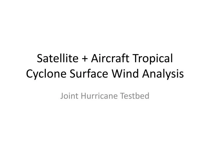
Satellite + Aircraft Tropical Cyclone Surface Wind Analysis. Joint Hurricane Testbed. Purpose.

E N D
Satellite + Aircraft Tropical Cyclone Surface Wind Analysis Joint Hurricane Testbed
Purpose • This project seeks to create a real-time and fully automated surface wind analysis system at the National Hurricane Center (NHC) by combining the existing satellite-based six-hourly multi-platform tropical cyclone surface wind analysis (MTCSWA) and aircraft reconnaissance data. • Replicate the subjective procedures used in NHC operations 66th IHC, Charleston, SC
Current Process Active storms? Gather track information Flight-level-to-surface reduction Diagnostics Fix generation Gridding and display Gather HDOBS Gather MTCSWA Motion relative framework Sufficient Data? Analyze Find observed rmw Re-correct data to common level Final analysis Correct data to common level (rmw=50km) Analyze QC (40%) Repeat2&3 (30%) 66th IHC, Charleston, SC
When/How to Run • (BEFORE) Just before the synoptic time (T) for assistance with the TC vitals (Bogus) • (EARLY) Just after T for assistance with generating the TC vitals prior to requesting model guidance be run. • (LATE) After the TC vitals has been prepared and after the model guidance has been submitted. 66th IHC, Charleston, SC
Inputs Satellite surface wind estimate aircraft
Sample Output Combined field wind estimate aircraft
Inputs Satellite surface wind estimate aircraft
Sample Output Combined field wind estimate aircraft
Output Field (grads/N-Awips) Text Automated Tropical Cyclone Forecast system (ATCF) fixes N-Awips SFMR Flight-Level Analyses
Data Usage • Storm tracking • (BEFORE) operational best track (OBT) + aircraft center fixes (AF) + T-6 forecast (F-6) • (EARLY) OBT + AF + F-6 • (LATE) OBT + AF + interpolated forecast (OFCI) • A tensioned cubic spline is used to interpolate position as a function of time. • HDOBS are decoded • Motion relative data composites valid at T • 6 hours prior and • up to 3 hours following the T • Below 600 hPa • Current MTCSWA , at the analysis center 66th IHC, Charleston, SC
Analysis Details (1) Analysis methodology Cost Function Equation • Variational method • Polar grid (4km x 10o) • Allows inputs as vector components, and scalar speeds • Allows for variable data weights (wk, wm) • Allows for variable smoothing constraints (α, β) (i.e. spatial filters in the r and Θ directions) 66th IHC, Charleston, SC
Analysis Details (2) Sufficient Data? Flight-level-to-common-flight-level All analyses at 700 hPa Flight-level and surface wind speeds are corrected to 700 hPa (via Franklin et al. 2003) Radius of maximum wind (rmw) is used to estimate the eyewall (<2rmw) and outer vortex (> 4rmw) regions, interpolated elsewhere Convective wind correction factors are assumed everywhere. • Is there aircraft data? • Within 150 km is there less than 22 km in the radial direction where the azimuthal data gap is less than or equal to 180 degrees? NHC’s recommendations 66th IHC, Charleston, SC
Analysis Details (3) Data weighting Automated Quality control Initial analysis; uses rmw = 50 km Conservative filter weights Observations that have differences from the analysis > 40 % are given zero weighting Repeat this process with 30% threshold. Prepare for final analysis Find the azimuthal average rmw. Re-adjust data to a common flight-level using the observed rmw Run final analysis with more robust smoothness constraints • If collocated and flight-level wind (FLW) speeds are > 64 kt • SFMR wind speeds are weighted more heavily (wm=0.5) • FL W vectors weighted less (wk=0.35) • Else if FLW speeds < 50 kt • SFMR weighed less (wm = 0.175) • FLW vectors weighted more (wm=1.0) • Linear interpolation of weights for FLW speed between 50 and 64 kt. • If not collocated, wm=0.175, wk=1.0 • MTCSWA is gradually weighted beyond 150 km, and within 50 km of land, weights are 0.6 beyond 300km • Questionable data flags result in weight reduction of 50% 66th IHC, Charleston, SC
Flight-level to Surface Reduction Assumptions Reduction Factors • Two regions • Eyewall (r ≤ 2rmw) • Outer vortex (r ≥ 4rmw) • 4 % azimuthal variation of reduction factors with maximum on the left and minimum on the right • Six-hour motion used for the asymmetry • 20 degree inflow angle • Over land, additional 20 degree inflow and 20% reduction 66th IHC, Charleston, SC