Download
1 / 80
870 likes | 1.19k Views
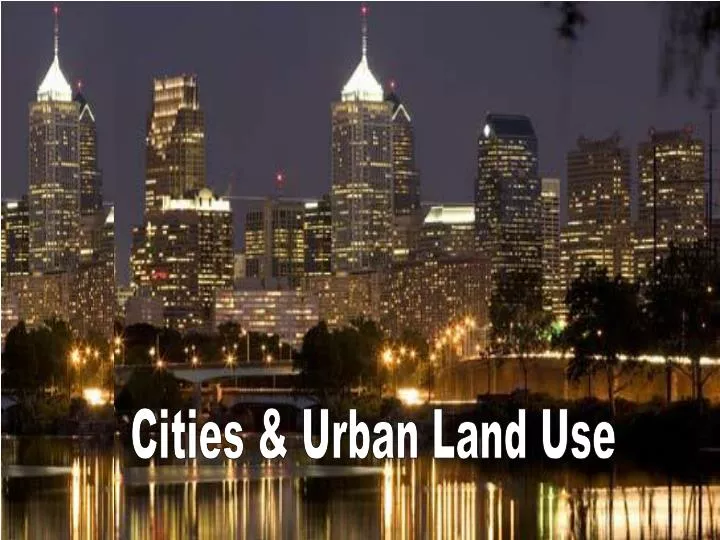
Cities & Urban Land Use. Where are cities located? and Why?. Site * absolute location of a city * a city’s static location, often chosen for trade, defense, or religion. . Situation * relative location of a city * a city’s place in the region and the world around it.

E N D
Site * absolute location of a city * a city’s static location, often chosen for trade, defense, or religion. Situation * relative location of a city * a city’s place in the region and the world around it. Site and Situation
As you travel from center city to the outskirts of the city, the cost of land-rents (bid-rents0 usually • Go up • Stays the same • Goes down • Fluctuates according to regional factors • Goes up if the topography is flat, but goes down if the topography around the city is hilly
As you travel from center city to the outskirts of the city, the cost of land-rents (bid-rents0 usually • Go up • Stays the same • Goes down • Fluctuates according to regional factors • Goes up if the topography is flat, but goes down if the topography around the city is hilly
Bid-Rent Theory • the relationship between how much rent people are willing to pay for land given its distance from a specified point (usually the center of a city).
Multiplier Effects • The phenomenon whereby when a job is created in one sector of the economy, it leads to the creation of jobs in other economic sectors; • for example, when new staff are hired at this University, they spend money in nearby establishments (bars, stores, churches, real estate offices, etc.) • creating jobs in those places, and they pay taxes that support road workers, assessors, county clerks, police departments, etc. • Multiplier effects are important for local and regional economies.
The Gravity Model Iij = . Iij = interaction between place i and place j Pi = population of place i Pj = population of place j Dij = distance between place i and j PiPj Dij2
10,000 10,000 15 mi M F 15 mi 20 mi 5 mi 5,000 25 mi S R 20,000 5 mi 15 mi Key: M town 10,000 population 15 mi. distance between towns 20 mi J 15,000 Applying the Gravity Model • Between which two towns will the greatest interaction occur? • Is interaction greater between M and R or between M and F? • Is interaction greater between M and S or between J and F?
dls 1 + √Pl / Ps xij= Reilly’s Law of Retail Gravitation x = break point measured from the smaller of two centers dls = total distance between two centers Pl = size of larger center Ps = size of smaller center
122 mi 102 62 75 mi 90 mi 90 mi 106 mi 63 37 mi 72 mi 19 mi 143 107 mi 50 mi 61 43 mi 70 mi 109 mi 41 120 mi 137 Predicting the Break Point • Calculate the distance of the break points from the smaller of each pair of competing outlet malls, using the number of stores as a measure of attractiveness
Gravity Model • Predicts the optimal location of a service is directly related to the number of people in the area and inversely related to the distance people must travel to access it
Gravity Model • Threshold – number of people needed • Range – distance willing to travel • Hinterland (market area) – area surrounding a service from which customers are attracted • The greater the interaction, the greater the distance can be between big cities. • Why do stores ask for ZIP codes?
Gravity Model • Small towns • gas, • groceries, • dentist • Cities • Cancer centers • Professional teams • Specialty stores
Central Place Theory • by Walter Christaller in the 1930’s • Assumed • region would be flat with no physical barriers • Soil fertility would be equal • Population and purchasing power would be even • Utilizes hexagons, rather than circles • Studies confirm the distribution of cities, towns, & villages are tied to trade areas, population size and distance
Central Place Theory • “Explains the distribution of services, based on the fact that settlements serve as centers of market areas for services; larger settlements are fewer and farther apart than smaller settlements and provide services for a larger number of people who are willing to travel farther” Rubenstein
Central Place Theory C = city – large pop. , lg hinterland, more specialization, higher centrality, cbd, & commercial areas T = town – may have a bank, hospital, school, library, a hinterland of villages V = village – several dozen services (specific items stores, competing brand gas stations H = hamlet – small cluster of farmers houses with basic services (gas station, general store, coffee shop)
Central Place Theory in Spain xxxxxx
Central Place Theory • For example: Sunbelt Phenomenon • Past 4 decades migration from N & NE to S & SW • Therefore, Atlanta, Dallas & Phoenix became headquarters of larger regions • Charlotte, Tampa, San Antonio & Tucson took secondary status • Nice central place theory image fellman 380
threshold range Central Place Theory • The theory explains the size and spacing of cities that specialize in selling goods and services. The two basic concepts: • Threshold - the minimum market needed to bring a firm or city selling goods and services into existence and to keep it in business • Range – the average maximum distance people will travel to purchase goods and services
threshold range Central Place Theory • Normally, the threshold is found within the range. As the diagram shows. Can you think of examples from the past in Europe and from the US today in which the range is larger than the threshold yet businesses thrive and market towns temporarily come alive? 1. Itinerant merchants in medieval Europe who would sell their wares in a different town each day or two to “collect” sufficient “ranges” to meet or, hopefully, exceed their “household” (market) to keep their business going 2. In the US, multi-million dollar businesses have insufficient thresholds because the range for their products are too small; hence, professional athletic teams and popular entertainers with their high income demands travel throughout the country collecting “ranges.” Already in the 19th century, catalog companies, like Sears, were already “annihilating” space, as does the internet now.
Nevada Utah Actual town Much larger town Potential town Smaller town The market principle predicts evenly spaced cities; but the transportation and political principles modify these regularities. Larger town With the transportation principle, towns that are not on major transportation routes are smaller than expected from the market principle. Transportation routes, such as a railroad in this illustration, attract business and allow new and larger towns to develop along the railroad. Rivers, canals, and highways, especially interstate highways, also reflect the transportation principle. Political principle – Political boundaries also “distort” the even spacing of cities. Why is the city on the Nevada side of the Nevada-Utah border larger?
Sketch a map of your city or town and the cities or towns nearby. Make a list of goods and services available in each of these towns. Do the ideas about central places presented in this section of the chapter apply to your region?
Functional Zonation The division of the city into certain regions (zones) for certain purposes (functions).
Zones of the City • Central business district (CBD) • Central City (the CBD + older housing zones) • Suburb (outlying, functionally uniform zone outside of the central city)
If your address determined your income, where would you choose to live?
Created by E.W. Burgess in 1925 Developed in rings – reflecting waves of immigrants used Chicago as his model Most European cities developed this way (pre-auto) Concentric Zone Model
Chicago CBD Immigrant workers’ housing, early 1900s Gold Coast downtown for North Side; Loop for South Side
Industrial zones Older residential
Suburbanization (Commuters’ zone) G.I. Bill homes
Created by Homer Hoyt in 1939 Wedges break out – not purely concentric Focused on residential patterns explaining where the wealthy chose to live Sector Model
Sector Model (1939) Sectors (not rings)attractive for certain activities;Spread along rail lines