Download
1 / 10
100 likes | 282 Views
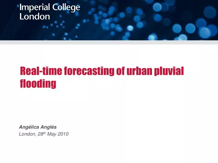
Real-time forecasting of urban pluvial flooding. Angélica Anglés London, 28 th May 2010. Introduction. Due to insufficient capacity of the sewer systems during heavy storms, prevention of flooding has become an important issue.

E N D
Real-time forecasting of urban pluvial flooding Angélica Anglés London, 28th May 2010
Introduction • Due to insufficient capacity of the sewer systems during heavy storms, prevention of flooding has become an important issue. • In order to minimize the risk of urban flooding, improvements in modelling and forecast must be done to avoid the consequences of this type of events. • Many concepts used for surface-runoff models simplify the real process. • The improvements can therefore be made in both urban flood modelling and management and consequently urban pluvial flood forecasting.
Goals & Objectives GOAL Develop and test advanced tools capable of obtain accurate and realistic simulations of urban drainage systems and flood prediction. OBJECTIVES • Improved analysis of the existing rainfall data obtained by both rain gauges networks and conventional as well as single and DP (double polarization) radar. • Fine scale rainfall prediction . • Use of the forecasted rainfall for urban pluvial flood forecasting. Use will be made of both (1D\1D) model developed by Imperial College London in combination with Infoworks (MWH Soft). • Testing the new models for full scale application, test case Redbridge London
Case study Experimental catchment in Redbridge, Northeast of London. The catchment is being monitored to test a new pluvial flood prediction methodology which should have sufficient lead time to trigger operational and non-structural responses in real time. The drainage area is approximately 910 hectares. The main storm sewer system is culverted. The area experience severe flooding in 2002. River Roding Flood Risk Management Strategy, Environment Agency (October 2006)
Data sources Measurement of rainfall, sewer and river flow: • Rain gauge network • C-band radar network operated by the UK Met office The improved signal acquired from radar measurements by the (single-polarisation) Chenies radar and the new (dual-polarisation) Thurnham radar are being used to improve rainfall measurement and forecasting (nowcasting). Three real-time tipping bucket rain gauges, 3 level gauges (location1, 2, 3) and one river level (flow) gauge. All data transmitted wirelessly in real time. Cranbrook Catchment Report. NunoSimoes (2010)
Methodologies and modules developed Use of the forecasted rainfall for urban pluvial flood forecasting: AOFD 1D/1D Model (Automatic Overland Flow Delineation) Overland flow (flooding) module developed by Imperial College London. It is a GIS tool to enhance modelling of fine scale surface (pluvial) flooding in urban areas. Themodule uses a high resolution DTM to create a 1D/1D surface flow network. The tool automatically creates the surface flow network. It is being extended for flood prediction Complete surface flow network created. UKWIR IUD Demonstration Project. Maksimovic et at. (2007)
Methodologies and modules (my role) Rainfall processing spreadsheet tool It generates Quantitative Precipitation Estimates grids (QPE) • Define own Z-R relationship • Resolution of the QPE grid size Z-R routine in the VBA macro of the Rainfall processing spreadsheet tool
Methodologies and modules (my role) Rainfall processing spreadsheet tool Identify methodologies Combine radar data to generate a composite radar image Comparison between rainfall and rain gauge data How rainfall changes with time Rainfall prediction. Chart 1 option of the Rainfall processing spreadsheet tool
Further expectations Rainfall processing spreadsheet tool Weather radar data AOFD 1D/1D Tool DEM Combining results of the different models some improvements in urban pluvial flood modelling will be expected Flood prediction Catchment urban drainage network Open new perspectives in terms of urban flood modelling and management and consequently urban pluvial flood forecasting.The improvements could be disseminated among modellers in water industry, as a way to improve the reliability of the hydraulic simulations results, especially during extreme rainfall events.
Thank you…Muchas gracias… AngélicaAnglés London, 28th May 2010 angelica.angles09@imperial.ac.uk