Download
1 / 62
620 likes | 627 Views
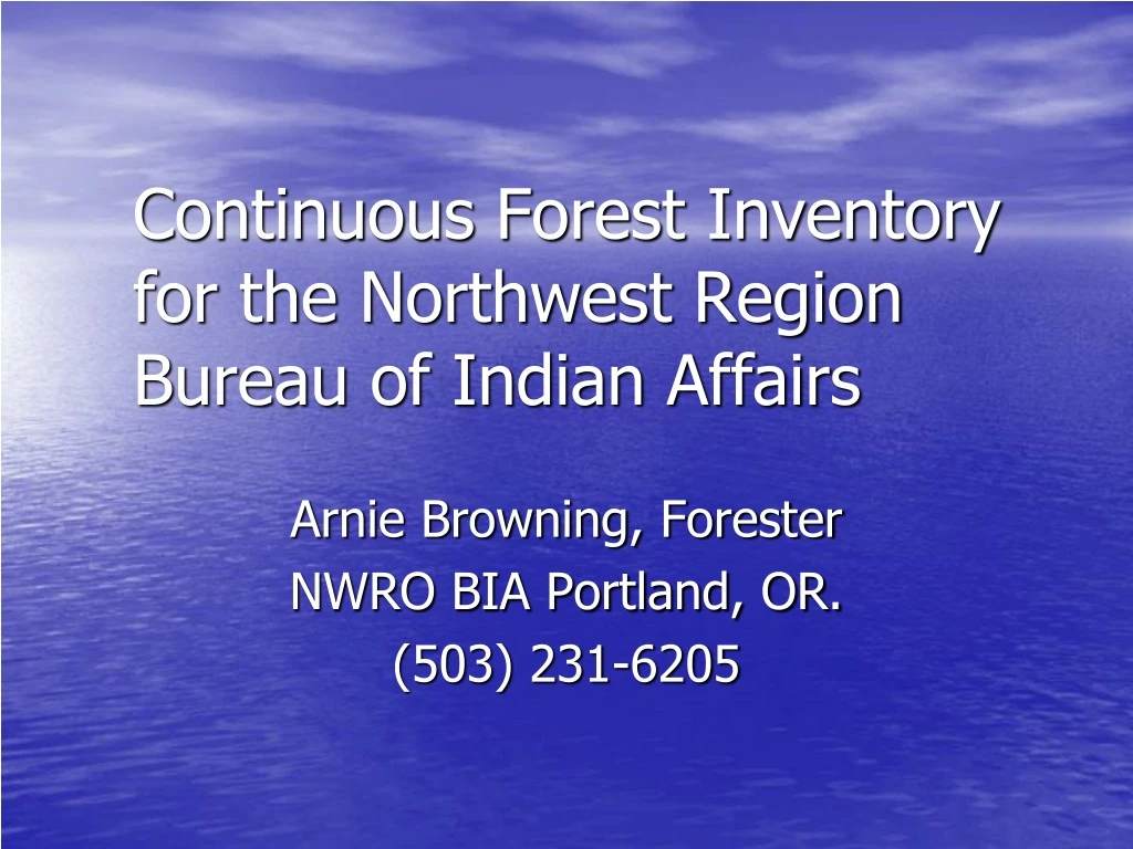
Continuous Forest Inventory for the Northwest Region Bureau of Indian Affairs. Arnie Browning, Forester NWRO BIA Portland, OR. (503) 231-6205. BIA Northwest Region. BIA Northwest Region. 2,664,000 acres timberland mostly on Category 1 reservations (over 1MMBF AAC, or 10,000 + acres)

E N D
Continuous Forest Inventory for the Northwest Region Bureau of Indian Affairs Arnie Browning, Forester NWRO BIA Portland, OR. (503) 231-6205
BIA Northwest Region • 2,664,000 acres timberland mostly on Category 1 reservations (over 1MMBF AAC, or 10,000 + acres) • 385 MMBF Annual Allowable Cut • All Cat 1 reservations have Continuous Forest Inventory (CFI) plots except Grand Ronde. Many have Stand Inventory also.
History of CFI • Late 1940s Calvin B. Stott, USFS introduced CFI to Lake States • The original purpose of the CFI was to collect stocking, growth, removal, and mortality information indispensable to the establishment of broad management policies on large forest areas. (Stott, 1960)
Steps in the CFI Process • Pre-Inventory • Review previous CFI Field Manual • Revise Manual for the re-measurement • Write data entry and edit program • Data collection and error checking • Regression analysis, more data cleaning • Write CFI program (VB 6 and Fortran 90) • Write User Manual and assist with program installation and operation • Assist with inventory analysis, growth and yield modeling, harvest scheduling, AAC.
Each re-measurement starts by preparing a Field Handbook describing what data will be taken PRE-INVENTORY
Changes in Sample Design 1950 -1980 Cluster of 2 or 3 one-fifth or one-quarter acre subplots, usually on one-mile grid 1/20th acre minor plot for height and form class 1/100th acre minor plot for seedlings/saplings Plot data: timber type, habitat type, slope, aspect, etc Tree data: spc, dbh, crown ratio, height, tree history, problem/severity, age or age class, etc Re-measure every 10 years 1980 – present re-measure only one plot per cluster (each subplot was always treated as an independent sample point) Double the grid, usually ½ mile grid (more even-aged treatments, more stratification of the data) Add snag data, fuel transect data, 3 tree problem/severity codes per tree (usually FVS codes), new height sample
Changes in Height Sample • Before 1990 • Measure total height on all trees 5 inches dbh and larger on 1/20th or 1/16th acre minor plot • After 1990 • On 1/5 acre plot, measure total height on the first tree of each species in each 5 inch dbh class, and all trees 20 in. dbh and larger.
CFI Data Entry and Edit (CFIDEER) • An ACCESS database is prepared with tables of Plot Records, Tree Records, Regen Records, sometimes Fuels Records • Separate tables for each measurement • A version of CFIDEER is made • makes files to load into Allegro Field Data Recorders. • thorough error checking routines
DATA COLLECTION AND ERROR CHECKING • Field crews are trained then begin re-measuring CFI plots • Plot Location Cards, aerial photos are updated as needed • Plot centers are recorded with GPS units • Quality control on at least 10 % of plots • Download handhelds each day
Regression Analysis • After data is cleaned, NWRO develops height models by species. • Sometimes diameter growth and form class data are also regressed • Analysis is done with SigmaStat and Sigma Plot software
Changes in Height Model • 1950 – 1987 • Ht = b0 + b1 DBH + b2 (DBH)2 • (2nd or 3rd degree polynomial) • poor fit outside range of data, must “cap” • 1988 – 2002 • Ht = 4.5 + exp (b0 + b1 / (DBH+1)) • Wycoff et.al,1982 • Usually stratify height sample by productivity class • 2002 – present • Ht = 4.5 + b0 (exp (-b1 (DBH)b2 )) • Arney, 1985
Comparison of Ht Models – FVS • Slightly over estimates at 5 – 10 inches dbh • Slight under estimates at large diameters • Almost always a reasonable model
FPS Height Model • Usually slightly improved fit through the entire range of DBH (when compared with FVS height model) • Still getting experience with this model (only Warm Springs and Quinault)
Plot the data and the model • Our experience with FPS height model is limited; one unreasonable model so far. • Thanks to error-trapping in Flewelling taper code, we discovered this problem
Write CFI Program • A Windows Program is written by NWRO • Uses Visual Basic 6 for the User Interface • “Number crunching” done by a FORTRAN 90 dynamic link library (dll) • CFI.EXE contains many user options to sort the data, selects a variety of output tables, select merchantability standards, etc.
Alternatives for Volume and Taper • Behre’s Hyperbola – Explained in 1983 Forest Mgt Inven. Handbook, App 1D • Form Class = DIB17/DBH • Used in CFIs from 1950s to present • Most DIB at 17 feet measured in 1970s to 1980s on CFI minor plots
Form Class • “The theory of form class volume tables is that for a given height, trees vary in taper in the first log, but above the first log, taper is quite similar for trees of the same size and merchantable height, regardless of species.” John Bell, 1988. • Most of the taper is in the first log.
Behre’s Hyperbola BHT = THT - 17.3 RHT = THT - upper stem ht L = RHT / BHT D = L / (0.49 * L + 0.51) DIB = DIB17 * D
BIA Board Foot Volume Regression formulas were developed by regressing the Factors published on page 38 of the Official Rules for the Log Scaling and Grading Bureaus, January 1, 1982 BDFT /Log = (a + b(DIB) + c(DIB)2) x Length
Johnson’s Cubic Foot Volume • Until 1995 only Johnson’s Cubic Foot formula was used to calculate volumes • CUFT calculated for a “Butt” and “Upper” segments of a tree with formulas using Form Class, DBH, and DIB.
West-side Taper Coop • Completed May 2, 1994 • For Douglas-Fir, Western Hemlock, and Western Redcedar • Quinault Tribe, Washington DNR, Industrial Forest Owners, contributed felled tree data • Data modeled by James Flewelling, PhD copywrited.
INGY Taper Coop • Distributed to INGY Members Sep. 1996 • Sectioned tree data collected for AF,DF,ES,GF,LP,MH,PP,RC,SF,WF,WH, WL,WP • INGY participants included Flathead, NezPerce, Spokane, and WS Tribes, Boise Cascade, Champion, Potlatch, DNR, USFS, BC Min of Forests • Modeled, copywrited by James Flewelling
After processing each re-measurement a User Guide is made for each CFI Program
Uses of CFI data and programs • Quantify changes and trends in the forest; stocking, growth, harvest, mortality • Data used to calibrate growth and yield models (both FVS and FPS have used CFI data from reservation forests) • Harvest Scheduling, Annual Allowable Cut • Assess Forest Management Plans achievement of goals • Strategic Forest and Fire Management Planning
Boardfoot Stocking Trends Colville, Spokane, Warm Springs, and Yakama
Boardfoot Stocking Trends Flathead and Nez Perce
Harvest vs. Net Growth Colville, Warm Springs, Yakama
Harvest vs. Net Growth Flathead and Nez Perce
Warm Springs stocking trend, all species combined, 1972 – 1997
Nez Perce 2003 CFI Tree locations were Taken by measuring Azimuth and distance to each tree Used laser range Finder and electronic Compass Added 45 minutes to Each plot
WS – P. Pine, bitterbrush, fescue • Middle Creek Logging Unit (before harvest) • March 1979
WS Camas Prairie blocks 4 - 8 1978 Blowdown, looking west, N. Pinhead Butte
Yakama Weaver Photos Pine Butterfly (1920) area Upper Satus Canyon