Download
1 / 18
180 likes | 186 Views
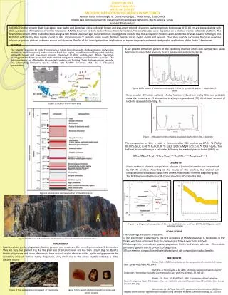
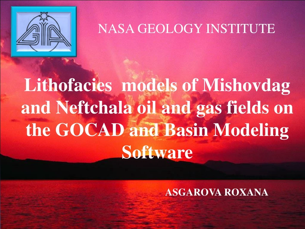
NASA GEOLOGY INSTITUTE. Lithofacies models of Mishovdag and Neftchala oil and gas fields on the GOCAD and Basin Modeling Software. ASGAROVA ROXANA. Schematic map of Lower Kura Basin. Shabran. Mishovdag. Neft ch ala. Model for I horizon of the Productive Series in Mishovdag field.

E N D
NASA GEOLOGY INSTITUTE Lithofacies models of Mishovdag and Neftchala oil and gas fields on the GOCAD and Basin Modeling Software ASGAROVA ROXANA
Schematic map of Lower Kura Basin Shabran Mishovdag Neftchala
Model for I horizon of the Productive Series in Mishovdag field
Model for I horizons of the Productive Series in Neftchala field.
Lithofacies model of oil and gas fields in Mishovdag sand clay aleurolite
Lithofacies model of oil and gas field in Neftchala clay sand aleurolite
Comparison of wells sections Mishovdag Nefthcala
Lithofacies model of oil and gas fields in Mishovdag sand clay aleurolite
Comparison of wells sections Mishovdag Nefthcala
Lithofacies model of oil and gas field in Neftchala clay sand aleurolite
Constructed model for the different stratigraphic units of the Productive Series in Mishovdag field
Constructed model for the different stratigraphic units of the Productive Series in Neftchala field
Map of changes of oil saturated of the Productive Series in the Neftchala and Mishovdag fields.
Profile of oil window in the Neftchala and Mishovdag fields Oil window Oil window
Conclusions The constructed model is of great importance in the study of the deep structure and oil and gas zones of these deposits with a complex structure, the detection of industrial fields and the correct choice of deep wells in search and exploration. As a result, based on the model of the deep structure of the Lower Kura depression is possible to forecast the future and evaluation of oil and gas facilities in view of geodynamics, temperature and pressure, seismic, petro physical and lithofacies factors. Oil generation from the Lower Eocene presumed source rocks commenced at the end of Pliocene and continues at present at depths between 6000 and 9000 m; and peak oil generation is taking place at depths between 7000 and 8000 m. This study confirms earlier hypothesis that oil generation and preservation in the depression must extend to deeper levels in the study area; owing to low temperature gradient and high sedimentation rate. Accordingly, we conclude that future petroleum exploration activities may safely involve deeper horizons