Download
1 / 11
110 likes | 201 Views
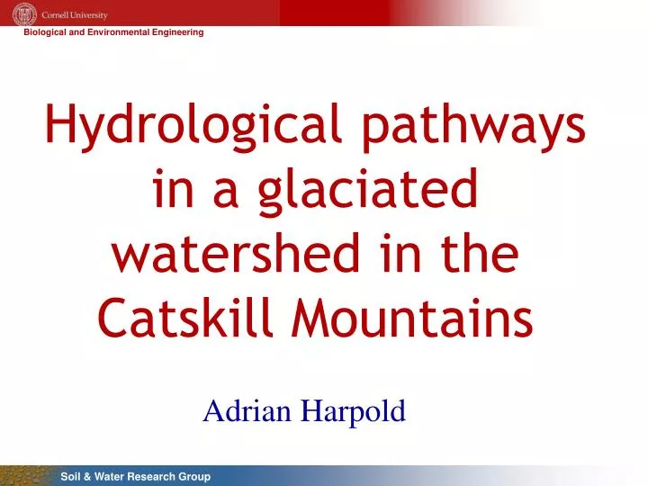
Hydrological pathways in a glaciated watershed in the Catskill Mountains. Adrian Harpold. Improving our understanding of runoff processes in the Catskills. How long?. Stream chemistry is a function of 1) sources, 2) flowpaths 3) age of water.

E N D
Hydrological pathways in a glaciated watershed in the Catskill Mountains Adrian Harpold
Improving our understanding of runoff processes in the Catskills How long? • Stream chemistry is a function of 1) sources, 2) flowpaths 3) age of water. • Variable saturated areas (VSA) are a quick source of storm runoff. How did it get there? • Spatial predictions of VSA are often based on topography and soil properties. • Are we neglecting the effects of small-scale variability on saturated areas? Where from?
Identifying and monitoring controls on saturation areas 36.8 km2 • Soil piping creates near-stream saturated areas • Groundwater springs generate hillslope saturated areas • Overland flow, water table heights, and water chemistry are collected across the hilllsope
Response to rainfall events Prior to rainfall During rainfall New saturated connections to the stream channel
Connection between stream discharge and hillslope features • Water table shows hysteresis versus streamflow (delayed) • Near-stream transient GW shows least delay • Overland flow measurements are much more correlated to streamflow(no hysteresis)
Response of stream chemistry to rainfall Single Event Nine Events
Identifying source areas to the stream via end-member mixing analysis Saturated areas respond quickly to large rainfall Groundwater contributes 53% to 95% of runoff volume during 9 events Saturated areas contribute 2% to 24% Throughfall contributes 4% to 25% Rain response is delayed and damped Groundwater dominates baseflow
Near-stream saturation areas active Effects of hillslope processes on stream response for nine rainfall events • Contributions from VSA are dependent on antecedent conditions Hillslope saturation areas connected (maximum contributing area achieved) • Large storm runoff volumes have similar VSA contributions • Contributions from rainfall control the peak runoff for each event. Hillslopes begin to throughfall to stream (maximum contributing area achieved)
Conceptualizing source areas and flowpaths in a glaciated watershed Prior to rainfall • Previous conceptualization: saturated areas grow in extent from the toe of the hillslope up. • Alternative conceptualization: saturated areas near the stream are connected to discrete hillslope saturated areas. • Maximum saturation contribtuions are limited by the ‘quick’ draining preferential flowpaths. During rainfall
Conclusions • Subsurface variabilities (e.g. groundwater springs and soil piping) can cause persistent spatial patterns of surface saturation, even during very dry periods. • Expansion of near-stream saturated areas are a source of runoff in smaller storms (<7 mm), but hillslope saturation areas contribute regularly in larger events. • After the maximum saturation extent has been reached, additional rainfall contributes throughfall to the stream.