Download
1 / 12
120 likes | 131 Views
AmeriGEOSS is a regional initiative between GEO's 15 member countries and participating organizations in the Americas. The objective is to enhance data exchange and generate regional early warning products for disaster risk reduction. This initiative aims to strengthen collaboration, identify pressing needs, and develop plans leveraging existing efforts and resources.

E N D
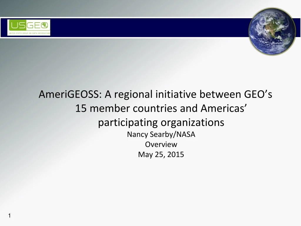
AmeriGEOSS: A regional initiative between GEO’s 15 member countries and Americas’ participating organizationsNancy Searby/NASAOverviewMay 25, 2015
Presentation Objective • CEOS and USGEO are members of GEO, and participate in GEO regional initiatives • AmeriGEOSS is a new initiative with the 15 nations who are members of the Americas Caucus as well as participating organizations • Identified priority: Disaster risk reduction, particularly for data exchange, associated with early warnings and for the generation of regional products of early warnings • We need to work together to identify the most pressing needs and develop plans that can leverage this workshop, CEOS disaster pilots, CEOS and GEO capacity building and other disaster-related activities
GEOSS in the Americas There are 15 members of the Americas Caucus: Ecuador Honduras Mexico Panama Paraguay Peru United States • Argentina • Bahamas • Belize • Brazil • Canada • Chile • Colombia • Costa Rica • Participating organizations include Sistema e la Integracion Centroamerica’s Central American Commission on Environment and Development (CCAD), CATHALAC, CEOS, others • Additional potential member countries: Bolivia, Caribbean, Cuba, Dominican Republic, Ecuador, El Salvador, French Guiana, Guatemala, Guyana, Haiti, Nicaragua, Suriname, Uruguay, Venezuela • Potential additional participating regional governments, institutions
GEOSS in the Americas • Three GEOSS in the Americas Symposia were held: • Brazil – 2007 • Biodiversity, ecosystems, and agriculture • Public health observation systems in the Americas • Earth Observations for coastal management • GEOSS architecture and access in the Americas • Panama – 2008 • Regional environmental information systems and tools • GEOSS common infrastructure • Regional programs and opportunities • GEO work plan, future activities, outcomes and next steps • Chile – 2011 • Agricultural monitoring • Water resource management • Geological hazards • Hydrometeorological hazards
Water Task – Component 5 • 2011- Colombia is welcomed as a GEO member. Collaboration: GEO Secretariat – IDEAM – CIEHLYC. • 2011 - Water Cycle Capacity-Building Workshop (hands-on training). Cartagena, Colombia. Collaboration: Escuela Naval de Colombia-NOAA- GEO Secretariat – CIEHLYC. • Working group of GEOSS in the Americas • International network of water and remote-sensing experts from governments and academia in the Americas and in the Caribbean. • Formed in 2009 to promote and support GEOSS implementation activities in the Societal Benefit Area for Water (including Oceans) through collaborations among members, and capacity building in the use of earth observations • Managed by three regional coordinators from Canada, U.S./Colombia, and Chile. Comunidad para la Información Espacial e Hidrográfica en Latinoamérica y el Caribe (CIEHLYC) 2013- Application of NASA Earth Observations for Assessing Potential Water Availability from Andean Snowpack for Use in Agricultural Water Allocation Planning in the Coquimbo Region of Chile. Collaboration: NASA-CIREN-CIEHLYC- Common Wealth of Virginia Government. 2014/15 – Monthly webinars on Earth-Observations projects and applications by Latin-American managers and scientists. Collaboration: GEO-Secretariat – CIEHLYC. http://earthobservations.org/webinar_ch.shtml Presentations cover remote sensing and in-situ monitoring of fresh water and Oceans.
Americas Caucus Oct 2014 Meeting • Americas Caucus meeting, hosted in Bogota by Americas Caucus Chair Dr. Franco/IDEAM, built relationships between Caucus members and identified areas of mutual interest for increased regional engagement in GEO – AmeriGEOSS: • Agriculture, associated with climate variability, climate change, and food security • Disaster risk reduction, particularly for data exchange associated with early warnings and for the generation of regional products of early warnings • Water, associated with the management approach of water resources and data management • Ecosystem Monitoring • Specific activities to improve information systems and technical exchange were identified, including communities of practice, activities to strengthen national capacities, webinars/technical seminars • The “Declaration of the Americas Caucus Reunion” was shared at the GEO-XI Plenary’s Americas Caucus and was accepted with the suggestion to broaden “AmeriGEOSS” to also include ongoing activities that are working well, e.g. GFOI/Silva Carbon • Mexican Principal identified opportunity to synergize with UNGGIM activity
GEOSS in Americas Activities • Capacity building monthly webinars through Comunidad para la Informacion Espacial e Hidrografica en Latino America y el Caribe (CIEHLYC). • Coordination of Architecture Implementation Pilot (AIP-7) Projects • NASA-DEVELOP / IDEAM : Expansion of the Flood Vulnerability Index for the Hydrological Information System (SIRH) – Colombia • NASA/SNIT/SAF/ :Testing of Registration of Chilean Web Services Related to the GEO Societal Benefit Areas – Chile • Brigham Young University/IDEAM : Hydroserver – Colombia • 2013-2014 Collaboration: NASA-DEVELOP/CIREN : Application of NASA Earth Observations for Assessing Potential Water Availability from Andean Snowpack for Use in Agricultural Water Allocation Planning, Chile. Tool transitioned October 14 – 15, 2014 • Other DEVELOP projects with Costa Rica, Mexico • Engaging members in International Disaster Charter, e.g., recent call from Costa Rica to request receipt of satellite data after volcano Turrialba erupted
Thematic Priorities Identified for Future Planning • Agriculture, associated with climate variability, climate change, and food security • Disaster risk reduction, particularly for data exchange associated with early warnings and for the generation of regional products of early warnings • Water, associated with the management approach of water resources and data management • Ecosystem Monitoring • Specific activities to improve information systems and technical exchange were identified, including communities of practice, activities to strengthen national capacities, webinars/technical seminars • These are in addition to activities working well, e.g. SilvaCarbon
Next Steps • Developing plans to contribute to thematic priorities • Working to define how the initiative will function, leveraging AfriGEOSS’s work • Documenting plans in a document for GEO review in September timeframe • Presenting initiative at GEO-XII November 11 – 13, 2015 in Mexico City, Mexico • Planning related side event(s) just prior to GEO-XII • Will be opportunity for detailed presentations at the Latin American Geospatial Forum being held at the same time as GEO-XII
Request for Prioritizing Needs • Identified thematic priority: Disaster risk reduction, particularly for: • Data exchange, associated with early warnings • The generation of regional products of early warnings • What else? • Most pressing needs? • Work already underway we can leverage? • Ideas for plans moving forward?
Thanks! • Angelica Gutierrez, angelica.gutierrez@noaa.gov • Nancy Searby, Nancy.D.Searby@nasa.gov