Download
1 / 7
70 likes | 245 Views
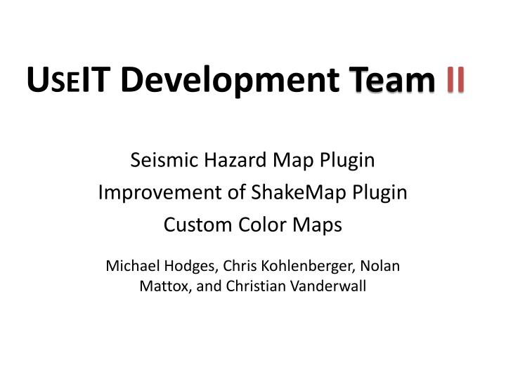
U SE IT Development Team II. Seismic Hazard Map Plugin Improvement of ShakeMap Plugin Custom Color Maps. Michael Hodges, Chris Kohlenberger, Nolan Mattox, and Christian Vanderwall. What is a ShakeMap?. Representation of ground shaking, not magnitude

E N D
USEITDevelopment Team II Seismic Hazard Map Plugin Improvement of ShakeMap Plugin Custom Color Maps Michael Hodges, Chris Kohlenberger, Nolan Mattox, and Christian Vanderwall
What is a ShakeMap? • Representation of ground shaking, not magnitude • Data gaps common due to lack of instruments • Predicted values added in these areas • Produced by USGS after earthquakes to assess possible damage and plan response • Modeling scenario earthquakes such as Shakeout • Map Types: • Peak Acceleration • Peak Velocity • Spectral Response • Rapid Instrumental Intensity Source: http://earthquake.usgs.gov/earthquakes/shakemap/sc/shake/Landers/
What is a Seismic Hazard Map? • Probability of exceeding a certain amount of ground shaking, or ground motion, in 50 years • Hazard depends on magnitudes and locations of likely earthquakes, how often they occur, and properties of local rocks and sediments • Applications of Hazard Maps: • Building Codes • Highway bridge design • Insurance rates • Business and land-use planning • Estimations of stability and landslide potentials of hillsides • Construction standards for waste-disposal facilities • Retrofit priorities • Allocation planning of assistance funds for education and preparedness (FEMA) • Concerned general public Source: http://earthquake.usgs.gov/hazards/products/conterminous/2008/maps/wus/2hzSA.wus2pc50.jpg
Custom Color Maps Landers ShakeMap (Custom Discrete) Landers ShakeMap (CPT) Landers ShakeMap (Custom Smooth) Landers ShakeMap (Magnitude Threshold) Custom Color Map GUI
Seismic Hazard Map Plugin Western US Peak Ground Acceleration, 2% in 50 years, 1150m/s
ShakeMap Plugin ShakeMap Interface User Generated ShakeMap
Earthquake Statistics Calculator • Calculates magnitude-frequency distribution of an earthquake catalog • Compares with Gutenberg-Richter Law • b = • Graph displays cumulative and incremental distribution • Useful for testing completeness and validity of a series of earthquakes within a given catalog Graph of Magnitude Frequency Distribution for Felzer Catalog