Download
1 / 19
190 likes | 375 Views
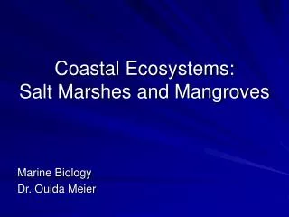
Hydrodynamic modeling for river delta salt marshes using lidar topography. A Cell-Edge technique for bathymetric processing Ben R. Hodges Dept. of Civil, Architectural, and Environmental Engineering University of Texas at Austin. The lidar challenge for hydrodynamics.

E N D
Hydrodynamic modeling for river delta salt marshes using lidar topography A Cell-Edge technique for bathymetric processing Ben R. Hodges Dept. of Civil, Architectural, and Environmental Engineering University of Texas at Austin
The lidar challenge for hydrodynamics • Processed lidar at 1x1 m resolution • Hydrodynamic models at 10x10 m or coarser. • Simple averaging loses information. • Ho do you handle subgrid data? • Today we’ll look at an example of topographical processing for hydrodynamic representation.
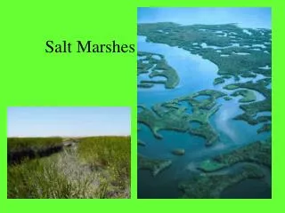
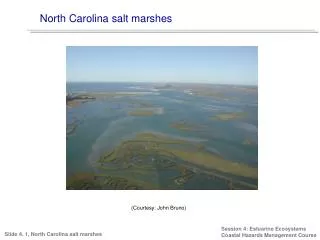
Where we are working... Texas coast image from Google Earth
Where we are working... Houston Corpus Christi image from Google Earth
Where we are working... Nueces River Delta City of Corpus Christi image from Google Earth
Nueces River Delta image from Google Earth
1 x 1 m ~ 120 x 106 10 x 10 m ~ 1.2 x 10⁶ 30 x 30 m ~ 130,000 data processed by J. Gibeaut, Texas A&M Corpus Christi
Summary of Cell-Edge technique • Use median filter on fine grid data with Matlab medfilt2() function for baseline coarse grid. • Identify coarse grid cells with a large fraction (45%) of subgrid cells that are a defined increment (0.2 m) higher than coarse grid median and use 75th percentile for coarse grid elevation. • In each coarse grid cell, begin at median elevation and sweep upwards in elevation increments (0.1 m) using Matlabbwboundaries() function to identify obstacles. • Find highest obstacle that crosses entire cell on X axis, and create an edge feature in X direction. • Repeat for Y direction.
Conclusions • Image processing techniques (available in Matlab) provide powerful tools for bathymetric processing. • Advantage of Cell-Edge method: Creates a coarse grid array with cells and edges that create hydraulically blocking features. • Open issue: How to confirm that the edges are continuous? • Open issue: 75th percentile elevations on high cells tend to slightly underestimate blocking elevation. • Open issue: How to handle connectivity of subgrid channels? • Disadvantage: Median filter is computationally expensive for large arrays.
Acknowledgements • Coastal Bend Bays and Estuaries Program • U.S. National Science Foundation • Texas Water Development Board • City of Corpus Christi • U.S. Army Corps of Engineers