Download
1 / 27
291 likes | 1.33k Views
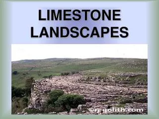
Landscapes. Use page 2- Generalized Landscape Regions of New York State. Use page 3- Generalized Bedrock Geology of New York State. Climate. How old are the oldest rocks in New York State? (Hint: Oldest Rocks are at the bottom of the bedrock map key; younger as you move up!.

E N D
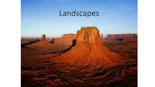
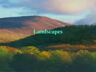
Landscapes Use page 2- Generalized Landscape Regions of New York State Use page 3- Generalized Bedrock Geology of New York State
How old are the oldest rocks in New York State? (Hint: Oldest Rocks are at the bottom of the bedrock map key; younger as you move up! Middle Proterozoic
3. In what landscape region do you live? Atlantic Coastal Plain
4. Where is the HEAD of the Hudson River located? 5. Where is the Mouth of the Hudson River located? HEAD (start) MOUTH (end)
43˚ 10’ N 79˚ W Erie-Ontario Lowlands 43˚ 10’ N Erie-Ontario Lowlands 77˚ 40’ W Adirondack Mountains 44˚ 5’ N 73˚ 55’ W St. Lawrence Lowlands 74˚ 55’ W 44˚ 55’ N Allegheny Plateau 42˚ 25’ N 76˚ 30’ W
7. Other than the Hudson, name two rivers that flow in NY: 1. Delaware River 2. Susquehanna, 3. Niagara, 4. Mohawk, 5. Genesee 6. St. Lawrence River
8. Based on the landscape ( and therefore elevation), which direction is the Genesee River flowing? North or South
9. The FINGER LAKES were created after glacial ice melted as it retreated and was contained in narrow valleys. These lakes are dammed by natural sediment deposits located at the downhill end of the lakes. Which direction would you find these dam deposits? North
10. Based on the Bedrock map, what rock TYPE (not name) is the most abundant in NY? Sedimentary Igneous Metamorphic
11. Do you think that this is true for most of the world? Explain why or why not? Granite makes up most of the continental rocks Sedimentary rocks found as a veneer covering due to Weathering & Erosion
High Elevation: RED Middle Elevation: Yellow Low Elevation: Green