Download
1 / 29
290 likes | 543 Views
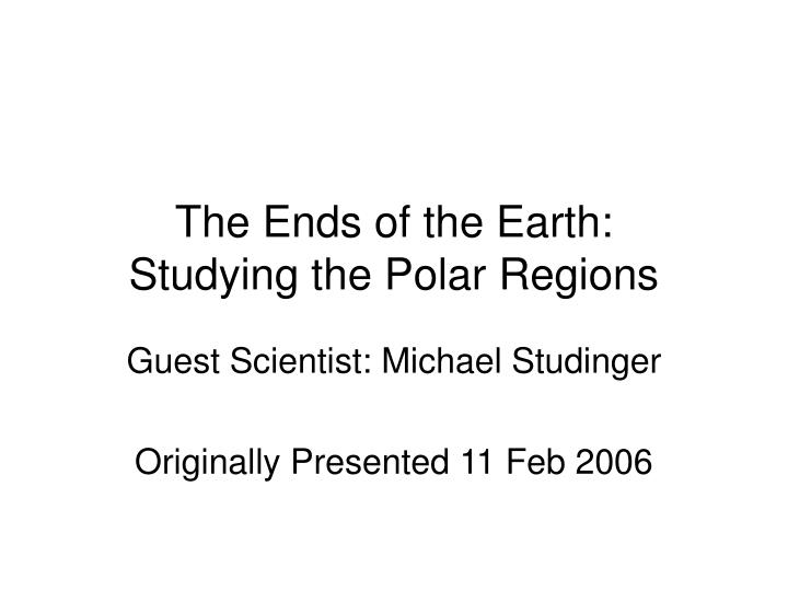
The Ends of the Earth: Studying the Polar Regions. Guest Scientist: Michael Studinger Originally Presented 11 Feb 2006. IPY 2007 - 2008. IGY—International Geophysical Year—1957 – 1958 Sputnik, Van Allen Belts, exploration of Antarctica Large-scale international cooperative investigations

E N D
The Ends of the Earth: Studying the Polar Regions Guest Scientist: Michael Studinger Originally Presented 11 Feb 2006
IPY 2007 - 2008 • IGY—International Geophysical Year—1957 – 1958 • Sputnik, Van Allen Belts, exploration of Antarctica • Large-scale international cooperative investigations • International Polar Year 2007 - 2008
http://www.ipy.org/ • What is IPY? • IPY Timeline • IPY Draft Themes
Satellite Studies of Polar Regions • Making accurate observations in polar regions is difficult and, for people, dangerous • So one of the most important advances during the last 50 years is use of satellite observation • Several polar-orbiting satellites with a variety of instruments routinely observe winds, ice, and other conditions
NASA’s Earth Observing System TERRA • “ASTER” Advanced Spaceborne Thermal Emission and Reflection Radiometer • “CERES” Clouds and the Earth's Radiant Energy System • “MODIS” Moderate-resolution Imaging Spectroradiometer
“A Tour of the Cryosphere” NASA recently released an 8-minute multimedia DVD, which is also available on the Internet at http://www.nasa.gov/vision/earth/environment/cryosphere.html
Even so, for those of us in the US and most of the Northern Hemisphere, the Southern Hemisphere is largely “Terra Incognito” We can look at maps, such as the one in the next slide, and see shapes and names. But we tend to think of the Southern Ocean and surrounding land masses merely as the bottom half of maps or globes. New techniques are beginning to allow us to show more about this interesting portion of our planet: http://www.ngdc.noaa.gov/mgg/image/predict.gif
http://tea.armadaproject.org/activity/demello/ICE_CONTINENT_ENCOUNTER.doc#AntarcticMapshttp://tea.armadaproject.org/activity/demello/ICE_CONTINENT_ENCOUNTER.doc#AntarcticMaps
Our focus today will be on studying features beneath the ice sheets of Antarctica • In the Nov 2003 E2C Workshop, Dr. Studinger paired with Dr. Martin Visbeck to describe their researches about Antarctica and ocean currents http://www.earth2class.org/k12/w3_f2003/index.htm • In April 2005, Dr. Studinger explained more about how scientists understand features hidden beneath polar ice capshttp://www.earth2class.org/k12/w8_s2005/index.php • Today, he will discuss his more recent investigations and discoveries
Useful background information:The most important feature about Antarctica is that it is now very cold! Located at Earth’s southern pole means that little or no solar energy is received during half the year, and although the sun shines for long day lengths in the other half, not much energy is absorbed
But it wasn’t always this way! • 200 mya, what was to become Antarctica was at the center of Gondwanaland, the southern supercontinent created as Pangaea began to split apart • It was connected to Australia, Africa, South America, India, and New Zealand • Fossils provide evidence that climate was much warmer and lush vegetation covered much of the surface • Any polar ice cap was much smaller, so sea level was much higher
Becoming Antarctica • Formation of the Circumpolar Current (West Wind Drift) played a major role in isolating and cooling Antarctica • Changes in ocean circulation had major effects on energy transfer on the globe, which will explored in the next few slides • Consequently, the ice cap grew and sea level was lowered, and Antarctica became “Earth’s ice box”
You can study an animation from a PBS “NOVA” program showing the breakup of Gondwanaland at http://www.pbs.org/wgbh/nova/eden/media/stt.html
Modern Antarctica results largely from its isolation at the pole and the ocean currents that surround it. http://www.windows.ucar.edu/tour/link=/earth/Water/images/Surface_currents_jpg_image.html
What did you notice abut these currents? • The Southern Ocean is the only area of the world with flow uninterrupted by land • The general movement is west-to-east • There are connections with other surface currents to the north and poleward • These involve both wind-driven surface currents and density-driven deeper circulations
Connections between Surface and Deep-Sea Currents In the past few years, greater under-standings have developed concerning the elaborate interactions between the wind-driven surface patterns and the thermo-haline (temperature and salinity) deeper flows. One model of this is the “Ocean Conveyor Belt, depicted in the next slide:
Much attention has been given to this model, especially speculations about what might happen if it changes LDEO’s Wally Broecker, who helped devise this model, recently considered the impact on climate that might ensue if the conveyor belt slowed or stopped http://faculty.washington.edu/wcalvin/teaching/Broecker99.html
Returning to our Southern Hemisphere focus, let’s consider a model of what happens as the ocean currents flow around the world. Of special consideration are places where land masses constrict their movements, such as Drake’s Passage between South American and Antarctica
http://www.nsf.gov/pubs/1996/nstc96rp/sb6.htm Warm circumpolar water passes through the Drake Passage and flows eastward in the Antarctic Circumpolar Current (red arrow). Some of the flow is diverted southward into the Weddell Gyre and becomes more dense, sinks, and flows out near the bottom (blue arrow). The inset illustrates the two processes that increase the density: lowering the temperature by giving up heat to the atmosphere, and raising the salinity of the remaining sea water by forming nearly salt-free ice in the very cold environment.
So the circulation patterns around Antarctica play major roles in global air-sea exchanges http://www.glacier.rice.edu/oceans/4_antsurfwater.html
What lies beneath Antarctica’s Ice? http://www.earthinstitute.columbia.edu/news/story3_2_01.html
And what does Lake Vostok look like? From the surface, nothing that would indicate there’s an interesting lake can be seen In fact, more than 70 subglacial lakes have been identified by remote sensing http://www.earthinstitute.columbia.edu/news/story3_2_01a.html
Probing Beneath the Ice Cap Between 1988 – 1997, NASA’s RADARSAT program studied our planet using SAR (Synthetic Aperture Radar) techniques. (Jeff Weissel presented an E2C Workshop in May 2004 about SAR strategies to provide rapid response to natural hazards) NASA’s Scientific Visualization Studio has created an animation using these data.
Lake Vostok Animation LDEO scientists Robin Bell, Michael Studinger, and colleagues have created their animation about Lake Vostok: http://www.earthinstitute.columbia.edu/news/vostok/vostok.swf
In his talk, Dr. Studinger will describe these techniques and what has been learned in more detail. You can view his web pages about Lake Vostok through http://www.ldeo.columbia.edu/~mstuding/vostok
Life Under Extreme Conditions • One of the major reasons to study Lake Vostok is that it is possible that bacteria and other microbes may exist under the ice in vast extreme ecosystems. • Understanding how these extremophiles exist may be vital to studying possible lifeforms elsewhere, especially Europa, the frozen moon of Jupiter
Antarctic seas also teem with interesting lifeforms and ecosystems Dr. Sam Bowser was the 2003 Keynote Speaker at the 108th STANYS Conference Dr. Bowser’s research about foraminifer and other life in Antarctic waters is available at http://members.global2000.net/bowser/
For all these reasons and more, understanding Antarctica, Lake Vostok, and other polar regions pose some of the most interesting and potentially important research questions facing us at the start of the 21st century.