Download
1 / 33
350 likes | 529 Views
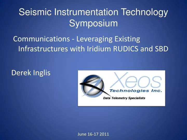
Seismic Instrumentation Technology Symposium. Communications - Leveraging Existing Infrastructures with Iridium RUDICS and SBD Derek Inglis. June 16-17 2011. Background in Seismic Telemetry. IRIS/Passcal – RT130 / Argos - Quanterra Q330 / Iridium. Seismic and GPS data from

E N D
Seismic Instrumentation Technology Symposium Communications - Leveraging Existing Infrastructures with Iridium RUDICS and SBD Derek Inglis June 16-17 2011
Background in Seismic Telemetry IRIS/Passcal – RT130 / Argos - Quanterra Q330 / Iridium Seismic and GPS data from remote polar regions
Satellite Telemetry Systems Good choice for seismic monitoring • Disaster ready, don’t rely on cellular or landlines • Will work in areas where there is no other infrastructure (extreme regions) • Costs are coming down (slowly) • Geostationary Systems • Low Earth Orbiters (LEO’s)
GEO/LEO • Geostationary Satellite systems • Track the same positions on the earth • Large orbits • Usually directional antennas (VSAT) • Polar Orbiting satellite systems • Orbit North to South • Smaller orbits • Can use omnidirectional antennas
Satellite Systems Argos Inmarsat GOES MSAT Orbcomm Iridium VSAT Globalstar
Iridium overview • Designed as a phone system: 2-way, real-time • 24/7 availability, true global coverage • 66 satellites • Inter-satellite links pass traffic to ground station • Basic data rate 2.4kbps • Various modes of access • Dial-up (better for larger file sizes) • Short Burst Data, SBD (up to 2 kbyte per message) • RUDICS
XI-100 • Short Burst Data + RUDICS • Can connect directly to a Q330 via IP or serial port • External sensor port
Cold Temperatures • Original A3LA modems spec’d to -20C • Newer 9522B’s spec’d to -30C • Need to assist modems by adding heater circuits
Customization of Iridium modems • Internal Heaters for cold temperature • Tested to -70C Confidential Information - Xeos Technologies Inc. - NOT FOR DISTRIBUTION
Iridium RUDICS Benefit over non-rudics CSD type calls • Allow for TCP/IP and UDP connectivity • More reliable connection • Slightly better transmission rates • Eliminate modem to modem • Least expensive data cost per KB
RUDICS system • Consists of a ‘Tunnel’ server application • Remote Seismic monitor connected to an XI-100
Rudics problems Buffering data over a very slow connection - We overcame this on the firmware side by buffering data in flash memory TCP/IP Stack on a low power, low memory device - We stripped down the stack to the bare essentials to make it work within the confines of the hardwareRUDICS drops - We overcame these by implementing a handshake system between the XI and the tunnel to detect drops and reestablish the connection. We also discovered an issue with stop bits that seemed to impact RUDICS drops.
XI-202 (coming soon!) • Smaller, lower cost • SBD only • Status of Health (SOH) message and more • GPS, accelerometer (motion and tilt) • 8 MB flash memory • External sensors Inputs • External Inputs/Outputs
XI-202 • Monitor multiple battery voltages • Collect, store, transmit small data samples • Send and receive commands from equipment • External Reset other equipment (kickstart)
Telesat’s Global Infrastructure • Telesat is now the fourth largest Fixed Satellite Service (FSS) operator in the world providing reliable and secure satellite-delivered communications solutions to broadcast, telecom, corporate and government customers
The need for circumpolar coverage • Meteorological • Continuous Circumpolar Coverage 100% at 60° North and above for weather monitoring • Communications • Current Area of Interest outlined in blue as defined by the Canadian Space Agency • Coverage can be expanded to include other arctic regions • Satellite could also include: • aviation communications • navigation augmentation,
The Telesat Approach to Polar Constellation • A two satellite constellation can meet these requirements for continuous weather monitoring and communications • Satellite design life of 15 years in a space environment similar to geostationary orbit where we currently operate our 13 satellites • A private public partnership model based on payment of services over the period in which these services are provided • Commercial approach to the development, procurement and operation of the satellite system • Can provide over ten hours of broadband communications service to the south pole region Comparison of Telesat proposed orbit and geostationary orbit. jrigley@telesat.com