Download
1 / 35
360 likes | 550 Views
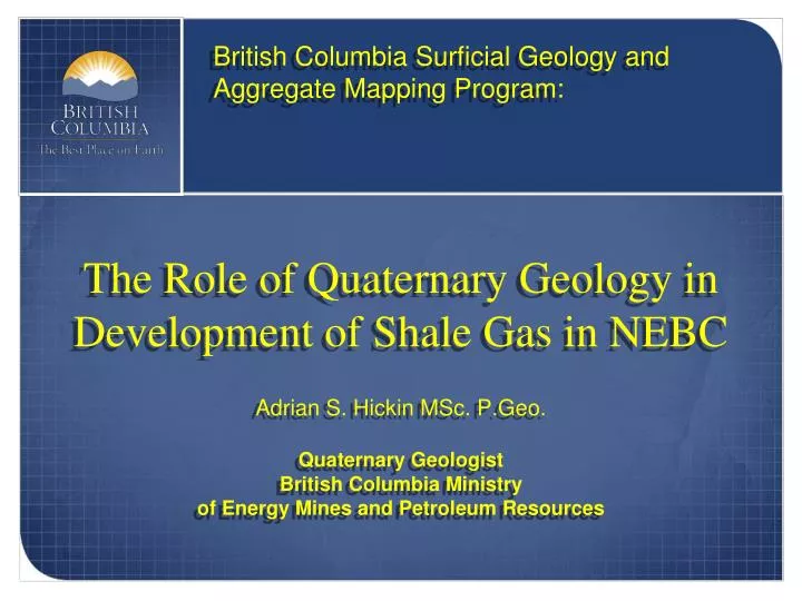
British Columbia Surficial Geology and Aggregate Mapping Program:. The Role of Quaternary Geology in Development of Shale Gas in NEBC. Adrian S. Hickin MSc. P.Geo. Quaternary Geologist British Columbia Ministry of Energy Mines and Petroleum Resources.

E N D
British Columbia Surficial Geology and Aggregate Mapping Program: The Role of Quaternary Geology in Development of Shale Gas in NEBC Adrian S. Hickin MSc. P.Geo. Quaternary Geologist British Columbia Ministry of Energy Mines and Petroleum Resources
British Columbia Surficial Geology and Aggregate Mapping Program: Outline RDGB Quaternary Geoscience Projects: • Surficial Geology Mapping • Aggregate Program • Paleovalley Mapping and Quaternary Stratigraphy
Approximate outline of the HRB Fort Nelson
Till Glaciolacustrine 130m Thick Quaternary Sediments Glaciofluvial
British Columbia Surficial Geology and Aggregate Mapping Program: Surficial Geology Mapping • Surficial geology maps: • Displays character and distribution of surface units • Land use planning and development tool • Guide for road and pipeline routing • Provides context and targets for detailed studies • Bioterrain and habitat mapping • Aggregate mapping
British Columbia Surficial Geology and Aggregate Mapping Program: Surficial geology map of Etset Lake 094P/11
4km British Columbia Surficial Geology and Aggregate Mapping Program: Surficial geology map of Etset Lake 094P/11
British Columbia Surficial Geology and Aggregate Mapping Program: Surficial Geology Mapping Proposed Partnership: • Geological Survey of Canada • New Mapping 1:50 000 scale • 94O/09 & 94O/10
British Columbia Surficial Geology and Aggregate Mapping Program: Aggregate Make BC competative: • Access to the landbase • Load balance development by extending the drilling season into summer months • Reduce footprint by building fewer quality roads that will service new areas
British Columbia Surficial Geology and Aggregate Mapping Program: Aggregate • Regional assessment of aggregate resources and Quaternary geology in areas of oil and gas development. • Identify and evaluate, local, area specific aggregate resources. • e.g. Sierra-Yoyo-Desan Road, Royalty Credit Roads, etc.
British Columbia Surficial Geology and Aggregate Mapping Program: Aggregate Success • >15 million m3 of sand and gravel identified. • 20 new aggregate prospects and 7 new mines • As of 2008 has saved the Province a total of $28.4 million • The combined operating budget since 2002 (6 yrs) is $1.175 million
British Columbia Surficial Geology and Aggregate Mapping Program: Aggregate Success • Province has saved $23 for every dollar spent • Better all season roads are being built that increase drilling activity in summer, open new unexplored areas, and make BC a more attractive exploration jurisdiction
Quaternary Expertise British Columbia Surficial Geology and Aggregate Mapping Program: Aggregate • The Key to Success: Collaboration • Partnerships with industry, academia, and other provincial and federal government agencies. • Data & resource sharing. Priorities, Data, Logistics Industry Government New Discoveries, Great Partnerships
British Columbia Surficial Geology and Aggregate Mapping Program: Aggregate What do we do? • Explore for gravel based on an understanding of glacial processes, history and landscape evolution. • Systematic evaluation of targets. • Bring innovation and technology to a traditionally low tech. industry.
British Columbia Surficial Geology and Aggregate Mapping Program: • LiDAR – The most successful tool for aggregate exploration Aggregate
British Columbia Surficial Geology and Aggregate Mapping Program: Aggregate • Frequency domain airborne resistivity survey (helicopter). • Ground based capacitively coupled resistivity. 1km
British Columbia Surficial Geology and Aggregate Mapping Program: Aggregate • Ground Penetrating Radar • Reprocessed 2D Seismic 0m 5m Oil and gas 2D seismic Reprocessed for gravel
British Columbia Surficial Geology and Aggregate Mapping Program: Aggregate
British Columbia Surficial Geology and Aggregate Mapping Program: Aggregate • Data Dissemination • All studies are public information and available online • Surficial geology maps available free at NRCan Mirage Website • Prospecting reports free online at BCMEMPR – Aggregate website • Work directly with partners on Royalty Credit Projects • Proprietary data is not made public unless consent
British Columbia Surficial Geology and Aggregate Mapping Program: Aggregate • Frac Sand • Project evaluating NEBC Quaternary and Tertiary sand deposits as well as outcrop for frac’ sand potential • Over 25 deposits sampled • Analysis pending • Partnership opportunities
British Columbia Surficial Geology and Aggregate Mapping Program: Paleovalleys • Quaternary Geology and Paleovalleys • Ultra-shallow gas • Casing depth • Seismic interpretation • Frac Water
British Columbia Surficial Geology and Aggregate Mapping Program: NTS 94I, British Columbia Paleovalleys Hickin et al., 2008 Modern Topography Bedrock Topography
British Columbia Surficial Geology and Aggregate Mapping Program: Paleovalleys 30 m Sand, Silt, and Clay Aquitard Silt and Clay Till Gravel Aquifer Aquitard Till Gravel Aquifer
British Columbia Surficial Geology and Aggregate Mapping Program: Paleovalleys Gamma Log Response behind casing Valley-Fill Fine Grained Coarse Grained Aquitard Aquifer
British Columbia Surficial Geology and Aggregate Mapping Program: Paleovalleys Zama-Hay, Alberta “Surficial sediments are the main aquifer over the study area” "The highest yields known to date over the entire area are found in the northern half of the map area immediately north of the Zama-Hay Lakes region, where water wells are used for water injection in secondary recovery of oil. The water wells are completed in sands and gravels at depths varying from 30-60m (100 to 200 ft). After completion, a few aquifer tests were conducted on these wells by a drilling company. Transmissivity values derived from these pump tests varied from about 137 m2/day to about 2240 m2/day with 20-year safe yields varying from about 15 L/s to 450 L/s." Borneuf and Pretula, 1980
British Columbia Surficial Geology and Aggregate Mapping Program: Paleovalleys Hickin et al. 2008
? ? ? ? British Columbia Surficial Geology and Aggregate Mapping Program: Paleovalleys
HRB • Limitation: • Need high density of wells • Need wide distribution of wells
British Columbia Surficial Geology and Aggregate Mapping Program: Paleovalleys • Time Domain Airborne Resistivity • Long proven and effective method of identifying paleovalleys in the Canadian Interior Plains • Fix-wing time domain is cost effective and covers a relatively large area providing appropriate depth of penetration and resolution • Unlike point source data, (well logs) airborne EM offers continuous data more appropriate for mapping geometrically isolated paleovalleys
British Columbia Surficial Geology and Aggregate Mapping Program: Conclusion • Quaternary Geology has an important role in the development of NEBC unconventional gas resources • Surficial Geology Mapping • Aggregate Mapping • Paleovalley Mapping and Stratigraphy • Quaternary Program at RDGB is dedicated to working with industry to provide public information to assist the responsible development • The key to the success of the Quaternary Program has been industry collaboration and partnerships
British Columbia Surficial Geology and Aggregate Mapping Program: Partnership and Collaborative opportunities Adrian Hickin Surficial Geology and Aggregate Program 250 953 3801 Adrian.Hickin@gov.bc.ca http://www.empr.gov.bc.ca/OG/oilandgas/aggregates