Download
1 / 11
110 likes | 367 Views
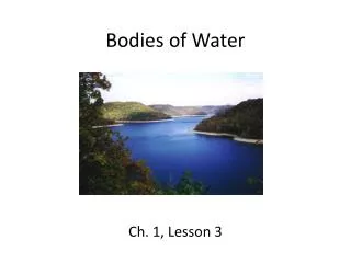
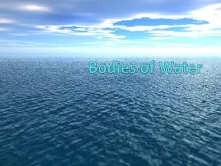
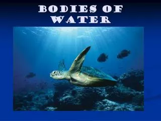
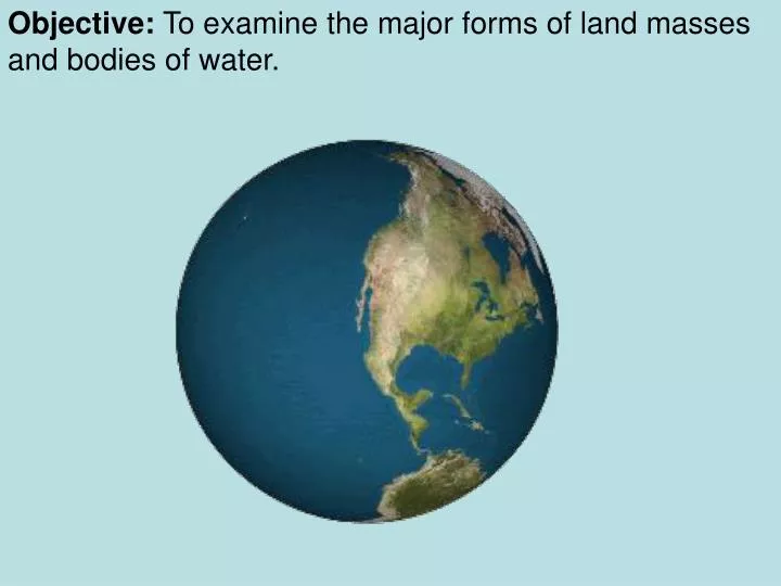
Objective: To examine the major forms of land masses and bodies of water. Island – land area that is surrounded by water. Long Island. Archipelago – chain of islands. Hawaiian Islands. Gulf – arm of an ocean or sea that is partly enclosed by land, usually larger than a bay. Gulf of Mexico.

E N D
Objective: To examine the major forms of land masses and bodies of water.
Island – land area that is surrounded by water Long Island Archipelago – chain of islands Hawaiian Islands
Gulf– arm of an ocean or sea that is partly enclosed by land, usually larger than a bay. Gulf of Mexico Peninsula – piece of land that is surrounded by water on three sides Florida
Desert – area that has little or no moisture or vegetation Sahara Desert, Africa Mountain – high, steep, rugged land that rises sharply above the surrounding land. Mount McKinley, Alaska
River – large stream of water that empties into an ocean, lake, or another river Hudson and Mohawk Rivers Delta– area where a river breaks off into tributaries emptying out into a larger body of water Nile River Delta
Isthmus – narrow strip of land joining two large land areas or joining a peninsula to a mainland. Isthmus of Panama Strait – narrow channel that connects two larger bodies of water Strait of Gibraltar
Lake – body of fresh water surrounded by land Great Lakes Sea – large body of salt water that is smaller than an ocean Black Sea
Plateau Valley An elongated lowland between ranges of mountains, hills, or other uplands, often having a river or stream running along the bottom • An elevated, comparatively level expanse of land
Continent – any of seven large land masses on the Earth’s surface Europe Africa North America Asia Sub-continent – an area of land that is part of a continent but is separated by something (landform, language, etc. India Central (Latin) America Australia South America Antarctica
Ocean – any of the large bodies of salt water on the Earth’s surface. Arctic Ocean C Atlantic Ocean B Pacific Ocean A Indian Ocean D
YOUR CHALLENGE – FIND THESE ON THE BRHS CAMPUS Obviously, we do not have a LOT of water around Broad Run, and no REAL oceans, but we will get creative. I want you and your partner to travel around the school (outside, not inside) and find things that would REPRESENT the different landforms we have just talked about. Example: A peninsula could be found by looking at parts of the building. Example: A strait could be found by looking at the roads/sidewalks. What you need to do is find and describe where you and your partner are and what landform it represents and why. This should be done in about 3-5 sentences. You can either 1) draw what it looks like in the space below (while labeling the pieces) and explain why it would be described as that feature OR you can 2) take a picture and use the space below to describe the picture. You will be assigned three physical geographic features.