Download
1 / 38
380 likes | 497 Views
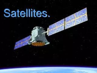
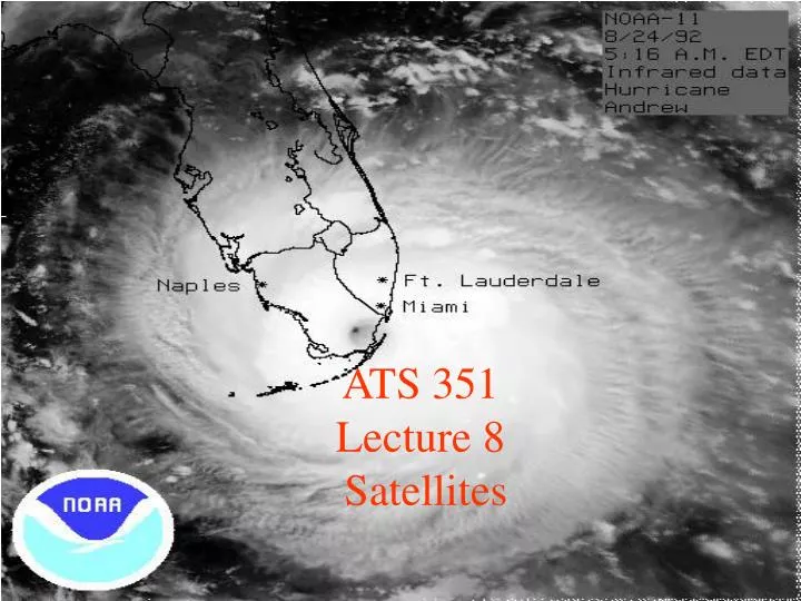
ATS 351 Lecture 8 Satellites. Electromagnetic Waves. Electromagnetic Waves. Consist of an electric field and a magnetic field Polarization: describes the orientation of the electric field. Remote Sensing. Passive vs Active sensors

E N D
Electromagnetic Waves • Consist of an electric field and a magnetic field • Polarization: describes the orientation of the electric field.
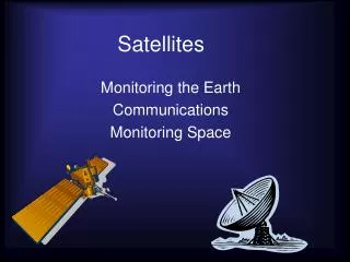
Remote Sensing • Passive vs Active sensors • Active sensors emit radiation and measure what is sent back to them • Radars are active sensors. • Passive sensors detect naturally occurring radiation • Most satellites are passive sensors.
Satellite Basics • Satellites are in many different types of orbits. • Geosynchronous (36,000 km) • LEO (300-1000 km) • MEO (10,000 km) • Polar (LEO orbit) • Sunsynchronous • Molinya • Constellations • Ascending vs Descending Nodes
Satellite Basics How many times a day a particular point is seen by a sunsynchronous satellite
Satellite Basics Satellite constellations fly multiple satellites in varying orbits to provide maximum earth coverage. Satellite Formations fly multiple satellites in the same orbit.
Satellite Basics • Most satellites carry multiple sensors • Saves money • Instrument design • Instrument launch • Multiple funders • Allows many earth/atmosphere parameters to be observed at one time
Satellite Basics • Current weather satellites include radiometers, radars, and sounders • Radiometers sense emitted radiation • Radars sense reflectivity in the vertical rather than horizontal • Sounders sense profiles of radiance from many layers of the atmosphere. • Radiometers sense emitted radiation in the infrared and microwave • Brightness temperature (Tb) – The temperature of an equivalent blackbody emitting radiation. • Infrared and microwave sensors measure the emitted radiation and report it as a brightness temperature • Insert LOTS of complicated math here. • Tb = Ts
Emissivity • Emissivity – amount of absorbed radiation that is emitted by a body • Has values between 0 and 1 • Ocean has an emissivity of about 0.5 • Land and cloud cover have an emissivity > 0.8 • Over land, emissivity is dependent on soil moisture and vegetation cover, and is very difficult to determine. • Over ocean, emissivity is dependent on wind speed and sea surface temperature
Retrievals • A retrieval is a method by which we infer information about the atmosphere based on measured brightness temperatures • Retrievals can be used to infer • Cloud liquid water • Water vapor content • Concentrations of atmospheric gases (CO, CH4, CO2) • Land surface properties (Soil Moisture, vegetation) • If y is the observed brightness temperature, x is the state of the Earth/Atmosphere system, and f is a forward model that predicts y based on x: y = f(x) x = f-1(y)
What is x? (So/4) (1-α) ơ TA4 atmosphere ơ TS4 ơ TA4 surface
Visible Satellite Imagery • Visible satellites basically take pictures of the earth. • Most visible satellites are in geosynchronous orbit. • In the US, we use the GOES satellites. • GOES: Geostationary Operational Environmental Satellites • GOES satellites carry 5 sensors • Visible (.6 microns) • Shortwave IR (3.9 microns) • Water Vapor (6.7 microns) • Infrared (11 microns) • Infrared (12 microns)
http://rammb.cira.colostate.edu/ramsdis/online/goes-west_goes-east.asphttp://rammb.cira.colostate.edu/ramsdis/online/goes-west_goes-east.asp
Visible Satellite Imagery • Advantages • Always located in the same place (homogeneous sampling) • View at an angle to give some information about vertical development of clouds • Can be used to monitor snow cover • High spatial resolution (GOES Vis: 1km) • Disadvantages • Cannot be used at night • Views of the poles are limited due to the viewing angle • Not very useful for retrievals
Infrared Satellite Imagery • Displays the brightness temperature calculated based on the amount of sensed infrared radiation. • Useful for determining whether clouds are convective or stratiform. • Land surfaces appear warmer than cloud. • Land surface emissivity is very close to 1 in the infrared.
http://rammb.cira.colostate.edu/ramsdis/online/goes-west_goes-east.asphttp://rammb.cira.colostate.edu/ramsdis/online/goes-west_goes-east.asp
Infrared Satellite Imagery • Advantages • Can infer cloud heights by temperature • Can be used at night • Can be combined with visible imagery to infer cloud types • Can be color enhanced • Can be used in retrievals
http://rammb.cira.colostate.edu/ramsdis/online/goes-west_goes-east.asphttp://rammb.cira.colostate.edu/ramsdis/online/goes-west_goes-east.asp
Some satellites using IR frequencies • MODIS (MODerate resolution Infrared Spectroradiometer) • AIRS (Atmospheric Infrared Sounder) • GOES (Geostationary Operational Environmental Satellite) • AVHRR (Advanced Very High Resolution Radiometer) • MOPITT (Measurements Of Pollution in The Troposphere)
Southwest Asian Dust Storm image from MODIS at 500m resolution
AIRS Retrieved Temperature Isotherms over Southern Europe viewed from the west, September 8, 2002
Water Vapor Imagery • Retrieved water vapor based on sensed emissivity • Shows where significant weather systems are located • Uses infrared wavelengths • Remember: water vapor is a strong absorber of IR radiation.
Microwave Satellite Imagery • Senses emitted radiation in the microwave frequencies • Also frequently used in retrievals. • Land surface emissivity in the microwave averages 0.95. • Most microwave sensors carry radiometers in multiple frequencies • Allows for varying resolutions • Useful in retrievals • Atmospheric water vapor absorbs at ~22 GHz
Microwave Sensors • AMSR-E (Advanced Microwave Scanning Radiometer for EOS) • TRMM (Tropical Rainfall Measuring Mission) • TMI (TRMM Microwave Imager) • TRMM-PR (Precipitation Radar) • VIRS (Visible and Infrared Satellite) • SSM/I – Special Sensor Microwave Imager • AMSU – Advanced Microwave Sounding Unit
Cloudsat • Cloud Profiling Radar • 94 GHZ • Measures the power backscattered by clouds as a function of distance from the radar
Where to find images • http://virga.sfsu.edu/crws/archive/satimgs_month_arch.html (archived GOES imagery) • http://trmm.gsfc.nasa.gov/ (extreme events link at bottom of page) • http://modis.gsfc.nasa.gov/gallery/ (MODIS image gallery) • http://daac.gsfc.nasa.gov/AIRS/gallery.shtml (AIRS image gallery) • http://www.eorc.jaxa.jp/en/imgdata/latest/index.html (images from multiple sensors/events)