Download
1 / 15
150 likes | 326 Views
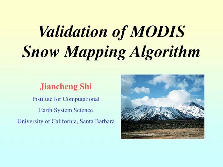
Validation of MODIS Snow Mapping Algorithm. Jiancheng Shi Institute for Computational Earth System Science University of California, Santa Barbara. Introduction. Importance of snow cover Weather and Climatology Hydrology Hazard

E N D
Validation of MODIS Snow Mapping Algorithm Jiancheng Shi Institute for Computational Earth System Science University of California, Santa Barbara
Introduction • Importance of snow cover • Weather and Climatology • Hydrology • Hazard • MODIS product: global coverage of snow covered area resolution with 500 m • Objective: Validation of MODIS snow mapping algorithm under different environmental condition • Validation concept: • Accuracy of total snow cover at ten km scale for weather and climatic applications • Accuracy at pixel scale for hydrological applications
Validation Technique • Validation with Airborne Data • AVIRIS => MODIS, TM and ASTER • Airborne Validation • High resolution photo => Ground truth • Ground truth to Validate MODIS • Test Available Algorithm for ASTER & TM • TM (Hall et al & Rosenthal and Dozier, 1996) • ASTER (three15 m bands) • Development of unmixing technique for ASTER and TM
Validationof MODIS Snow Product Using Airborne Data Photo at 1-4m Snow map at 20m Snow map at 500m Classify Resample Co-registration function Validation Spectral Algorithm Spatial Estimated SCA MODIS AVIRIS
Validation with Simulated MODIS Data67 AVIRIS scenes - April to July - Sierra and S. Cascades Overall 25.1 Max =37.9 Max: 49.5 SCA from MODIS RMSE =21.9 RMSE =14.6 SCA from Photo SCA from Photo Pixel Based RMSE from Each Scene, Unit in % Total Snow Covered Area at Scene Scale, Unit in km2
Effect of Snow Spatial Distribution NDSI Relative Error (%) in total SCA Snow fraction in % distribution at 500m Pixel resolution in m
Validation Summary from Airborne simulated MODIS Data • Alpine Region Validation – One of two most difficult environmets • Current Results from Airborne Data • Accurate for input of climatic study • Need improvement for hydrological applications • Weakness • effect of parched snow cover • atmosphere may cause some level of uncertainties
“Ground Truth” Assessment for Real MODIS Data Validation Test three algorithms for using ASTER and TM MODIS Rosenthal & Dozier ASTER 3-15m bands Max=24.3 Max=26.6 Max=15.1 SCA in km2 RMSE=8.9 RMSE=8.0 RMSE=5.7 Pixel based in % RMSE=15.6 & Max=30.4 RMSE=14.2 & Max=28.4 RMSE=12.6 & Max=22.5
Linear Unmixing in Snow Mapping • Basic Principle • In remote Sensing • Techniques in selection of spectral endmembers • Supervised - single endmember for each target • Unsupervised - multiple endmembers (convex hull) • Unsupervised - model simulated + spectral library
Effects of Terrain on Linear Unmixing • Terrain Effects: Tc - terrain correction factor/pixel • when Tc is constant • when Tc differs Common technique:
Example of Terrain Correction Factor • Statistical Properties: • Mean: 1.05 • Standard Deviation: 0.24 • Possibility of Error from scene selected endmembers • less error if similar surface gradient • larger error if they are in opposite facing
Effect of Illumination Angle on Linear Unmixing R(60°) R(60°)/R(20°) r=0.1mm thick r=0.5mm thick r=0.5mm thin Wave length in µm Effects:
Newly Developed Unmixing Techniqueto derive “ground truth” for ASTER & ETM+ • Characteristics of our new technique • Un-supervised • Multi-endmember unmixing • Automatic selection of scene based spectral endmembers with consideration of terrain effects • Using atmospheric and terrain corrected data • Using only atmospheric corrected data
An Example of Using Simulated ASTER • Relative error for total area — 0.7% • Snow-free » snow 1.8% • Snow » snow-free 1.3% • Snow fraction —RMSE 5.4% • Computing 28 min Color coding % of snow 0 10 20 30 40 50 60 70 80 90 100 ASTER Photo
Project Summary • 1) summary onData collection • 67 AVIRIS scenes in West U.S for April – July • high resolution (1 – 4 m) ground truth from the photos • simulated MODIS, TM, ETM+ and ASTER image data • 2 ETM+ scenes (12/2/00 and 12/18/00) at Mammoth Mt. • will collect ASTER and ETM+ scenes • will be available on MERCURY and NSIDC data systems • 2) Summary on technical issues • focus on how to derive “ground truth” of snow cover • 3) Publications • Several conference papers • Manuscript – Effects of Terrain on Estimating Sub-pixel Snow Cover in Linear Unmixing