Download
1 / 19
190 likes | 389 Views
Map Books. Preston County Assessor’s Office Connie R. Ervin, GISP. Beginning Best Practices. Geo-reference Options CoGo & Geo-reference Costly Geo-reference by Shift & Rotate Some misplacement Control Points-Rubber Sheet Compromised integrity Labeling Labeling Engine Fast & Easy

E N D
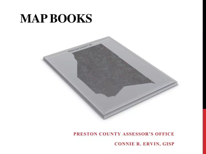
Map Books Preston County Assessor’s Office Connie R. Ervin, GISP
Beginning Best Practices • Geo-reference Options • CoGo & Geo-reference • Costly • Geo-reference by Shift & Rotate • Some misplacement • Control Points-Rubber Sheet • Compromised integrity • Labeling • Labeling Engine • Fast & Easy • Overlapping Labels , Misplaced Labels, Missing Labels • Annotation • Placement Options • Laborious Process • Manual Maintenance Map Books
Early Challenges • Map Book Generation & Map Design • DS Map Book • Designed with centroid of polygon selection • Does not work with tax maps as they were designed • Map Grid • Created from original Map Index • Scale 1” = 100’ (1200) and 1”=400’ (4800) • Map Grid design and placement based on polygon location • Rotation value used with generation • Rotation allows map to accommodate polygons more efficiently in urban areas • Labels • Clip process changes with rotation from Arc 8 to Arc 9 Map Books
Paper Copy Map Books
Original Tiff Image 2002 Map Books
2008 Tax Map Map Books
Challenges Continue • ArcMap 10 • Data Driven Pages • Data display needs to contain two copies of map grid contents displayed in different manners • Combination of annotation and labeling engine • Software changes • More versatility with Arc functions • Improved editing • Annotation Map Books
2013 Tax Map Map Books
2013B Tax Map Map Books
Map Grid 2013 Map Books
District Map 2013 Map Books
Map Grid Change • Results in Additional Change • Requires Identification Changes • Map Grid, District Map, Polygon, Parcel Lines, Related Annotation • Process can be automated with Python Script • Required changes in data on Integrated Assessment System • Notification to owner Map Books
Map Grid 2014 Map Books
District Map 2014 Map Books
Map Books Today • See Demo Map Books
Investigation Map Books
Determination & Coordination Map Books
All Together Map Books
Questions & Comments • Connie R. Ervin, GISP • Preston County Assessor’s Office • Kingwood, WV 26537 • crervin@assessor.state.wv.us • 304-329-1220 Map Books