Download
1 / 8
80 likes | 89 Views
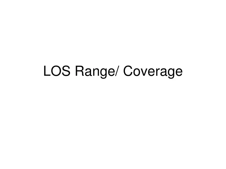
LOS Range/ Coverage. With the constant power radiated and noise power, the received signal power decrease with distance. So does the signal-to-noise power ratio, and the data rate per hertz, according to Shannon’s Law. P T = 1W G T = G R = 1 F = 2.5 GHz Temp = 10000 0

E N D
With the constant power radiated and noise power, the received signal power decrease with distance. So does the signal-to-noise power ratio, and the data rate per hertz, according to Shannon’s Law. PT = 1W GT = GR= 1 F = 2.5 GHz Temp = 100000 Free space prop. (d-2) Data Rate Depends on Distance
LOS area d h A B Line-of-sight Shadowed area of the Earth’s surface 2R Line-Of-Sight communication range d = SQRT[(R+h)^2 - R^2] (R ~ 6374 km LOS area = = 2*Pi*R^2*[h/(R+h)]
Potential coverage area increases with altitude... GEO MEO LEO STRATO
…but signal latency restrict interactive applications to low altitudes (terrestrial, stratospheric and LEO technologies) GEO LEO MEO STR The time required for a signal to travel from one point on a network to another.
Higher altitudes require more power... M G L S Reference: 10m
Altitude of stations • Terrestrial stations, alt. (1.5) 10-300m • Stratospheric stations, alt. 12-50 km (airplanes, balloons) • LEO - Low Earth Orbiting Satellites, alt. 150-1’500 km • MEO - Medium Earth Orbiting Satellites, alt. 5’000-10’000km • GEO - Geostationary Orbit Satellites, alt. ~36’000 km