Download
1 / 10
100 likes | 161 Views
GPS system. By: Bart Katehis. After GPS was invented, President Ronald Reagan wanted it to be available to all people for their own use.

E N D
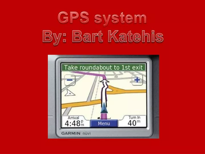
GPS system By: Bart Katehis
After GPS was invented, President Ronald Reagan wanted it to be available to all people for their own use. When a Korean Airliner was shot down for invading Russian airspace, airplanes were required to have GPS systems installed so that they can know when they are flying into a danger zone.
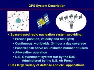
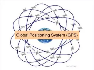
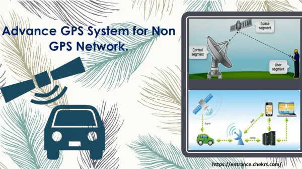
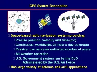
What does GPS mean? GPS stands for Global Positioning System. It functions under 24 to 32 satellites orbiting the Earth. Each satellite transmits microwave signals to all GPS systems on Earth to determine the location, time, and velocity. GPS is primarily used by civilians for navigation.
GPS Satellite All satellites orbit in one of 6 orbital planes each having at least 4 satellites. Each plane is 60 degrees rotated to the adjacent planes. Many satellites do work together and collaborate in doing tasks such as locating GPS systems on Earth. The speed of light changes through Earth’s atmosphere so each satellite at a different location can correct the error of another satellite that sent a signal being delayed by a different atmosphere condition on the planet.
Satellite Orbit These Satellites are located 20,200 Kilometers above the ground. They can make a revolution around the Earth in 12 hours. Any location at Earth is always within range of a minimum of 6 satellites. Satellites cannot access systems that are on the other side of the planet. As of today there are 31 of these satellites functioning and orbiting our planet. A 32nd satellite is in orbit, but has a malfunction.
Location When a GPS is detecting the location of a GPS system on Earth, the 3 dimensions of space are taken into account. The X-Axis determines how much left or right it is. The Y-Axis determines how much high or low it is relative to the equator. The Z-Axis determines how much forward or backward it is.
Time While all GPS satellites have to consistent with Earth time, their internal clocks have to be adjusted differently to Earth’s time. According to Albert Einstein theory of relativity, the faster an object moves, the slower time goes by. A GPS satellite orbits Earth at up to speeds of 7000 mph slightly affecting the clock, so it has to be adjusted. It takes 0.65 seconds for a signal from a satellite to reach Earth.
Velocity Velocity is the combination of speed and direction. This is determined by a satellite that locates the GPS system original location, then another satellite with the system’s final location divided by the time interval taken to reach that direction and distance.
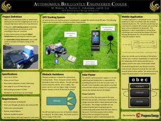
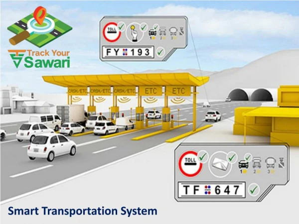
Uses for a GPS A GPS can be used for the following purposes: 1) Boats needing to navigate their way through sea. 2) Cars being directed through unfamiliar road maps. 3) Airline pilots needing to find out their velocity. 4) Mapmakers use this to create maps and to do some possible land-surveying.
ERRORS! • The GPS system is not perfect and errors can happen under these circumstances: • A signal can be disrupted by atmospheric conditions. • Signals can bounce off objects, and buildings can get in the way. • Terrain such as high canyon walls and mountains are able to cause inaccuracies.