Download
1 / 8
80 likes | 196 Views
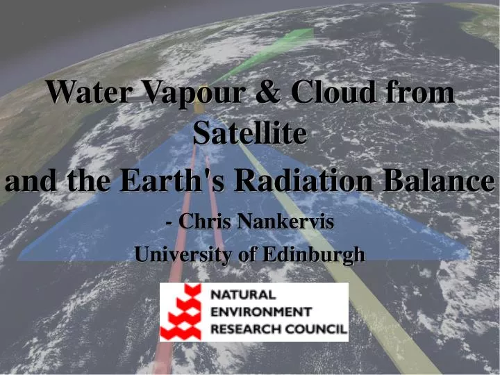
Water Vapour & Cloud from Satellite and the Earth's Radiation Balance - Chris Nankervis University of Edinburgh. Water Vapour as a Greenhouse Gas:. Water vapour is the most important greenhouse gas - high concentration - broad absorption range and far infra-red rotational spectra.

E N D
Water Vapour & Cloud from Satellite and the Earth's Radiation Balance - Chris Nankervis University of Edinburgh
Water Vapour as a Greenhouse Gas: • Water vapour is the most important greenhouse gas • - high concentration • - broad absorption range and far infra-red rotational spectra. • Absorbs and emits IR radiation upon changes in its vibrational state + • H2O rotational state changes in the far-infrared • The saturated water vapour pressure in the atmosphere increases exponentially with the temperature. • Overall +’ve Feedback • Higher Temperatures => more water vapour => reduced OLR • Effect of water vapour may be viewed on GOES satellite imagery • - White bands represent colder (higher) emitting temperatures • - Less outgoing radiation is emitted to space in these regions 6.7m
What Satellite Instrument? - Microwave Limb Sounder (MLS), onboard Aura satellite • Scans the edge of the atmosphere in the forward direction (above 2km altitude) • Detects passive radiation emitted natural from atmospheric gases. • Very good vertical resolution of 1.5km layers • Highly sensitivity to trace gases at high altitude (<0.1ppm) • It makes indirect measurements of water vapour and cloud • Aura observes at the same point above the Earth’s surface as Aqua (7 minutes later) • AIM: Using data from the precise orbital path as an input into radiation models, can the true outgoing radiation observed by Aqua instruments be matched. MODELLED RADIANCE vs TRUE RADIANCE AURA Limb Sounding Scan edge of atmosphere along the satellite track Nadir Instrument views directly downward
A-Train (Aqua & Aura measurements) Instruments onboard.. Aqua Satellite • MODIS. 16 IR bands • AIRS. 2378 IR bands - CERES. ENTIRE IR Aura Satellite -MLS. 3495 profiles. Atmospheric absorber concentrations. Water & Cloud
COLLOCATION MLS – CERES CERES – MODIS CERES – AIRS Closest Match of Measurement points between satellites on A-Train (Same time, Same Location) CORRELATION OLR vs Water and Cloud APPLY ‘Cloud Mask’ & ‘Land Mask’ DOWNLOAD MODIS: Radiance data, cloud/land mask DOWNLOAD AIRS: Radiance data MODELLING Water vapour and cloud METHODOLOGY:
Fast Radiation Models • These models solve a radiative transfer equation in order to calculate the radiation leaving the atmosphere at set frequency bands. This gives an emitting temperature (BBT) or radiance. • Model input comprises of 7 absorbers: H2O, CO2, O3, N2O, CO, CH4, O2 • Temperature profile is also required • Optional inputs: • SST as an from MODIS (Aqua) • RTTOV (model) allows a cloud input, (MLS Ice Water Product)
Satellite vs Model Radiances: MLS WV Profile Mean WV Profile MODIS (K) MODIS (K) MODEL (K) MODEL (K) • Emitting temperature in Kelvin (related to radiance) • Lower temperatures = more absorbance by atmospheric gases (more opaque) Better ‘fit’ between observed and modelled radiances for MLS water vapour input, than ‘mean’ water vapour input, but far from perfect? However … MODIS band sensitive to lower atmosphere. Here MLS retrieval is largely based on climatology. Solution …Look in far-infrared (Pure rotational bands)