Download
1 / 19
190 likes | 327 Views
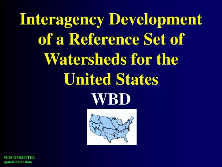
Interagency Development of a Reference Set of Watersheds for the United States WBD. BLM. ACWI. NOAA. CA. USGS. FGDC. NSGIC. USFS. Subcommittee on Spatial Water Data (FACA). FEMA. TVA. COE. NRCS. TX. AK. EPA. ASCE. NWS. NED. NHD. WBD. EDNA.

E N D
Interagency Development of a Reference Set of Watersheds for the United StatesWBD
BLM ACWI NOAA CA USGS FGDC NSGIC USFS Subcommittee on Spatial Water Data (FACA) FEMA TVA COE NRCS TX AK EPA ASCE NWS
NED NHD WBD EDNA Integration of key Spatial Water Datasets “surface water geospatial framework”
Hydrologic Units 2-digit= 1st level = 22 regions 4-digit= 2nd level = 222 subregions 6-digit= 3rd level = 789 accounting 8-digit= 4th level = 2223 cataloging new! 10-digit= 5th level = ~22,000 watersheds 12-digit= 6th level = ~160,000 subwatersheds
CO KS NM OK TX
WBD, a “key” part . . . Vision: Follow a drop of water from where it falls on the land, to the stream, and all the way to the ocean.
GOAL: Initial “draft” completed December 2002 Project Status
Watershed Boundary Dataset for Maryland Explanation Shaded Areas Represent 4th Level Sub-basins Watersheds, 5th Level ,HUC10 Subwatersheds, 6th Level, HUC12 Terrestrial hydrologic units completed, coastal 5th and 6th levels are currently being re-delineated by Dr. Randy Ferguson of NOAA. Recently completed and submitted
Subcommittee on Spatial Water Data Coastal Watersheds Work Group Guidelines Work Group FGDC HUC Interagency Guideline
PROBLEMS IN COASTAL AREAS ? ? ? ?
NOAA/NOS Implementation • Pilots • Coastal delineation guidance • state/coast implementation • Assisting state groups • Workshops • Data and data manipulation • One-on-one with States
Watershed Boundary Dataset Line Attribution (.aat) Item name Width Output Type N.Dec. Example Linesource 20 20 C - DEM30,DRG24,GPS Meta_id 4 4 C - OK01 WBD metadata/attribution session Thursday morning Kenny Legleiter Info File Naming Convention MO_com_poly MO_com_line Item name Width Output Type N.Dec. Example MO_com_poly# 4 5 B - 5 Comment 80 80 C - Levee influenced boundary
www.ftw.nrcs.usda.gov/huc_data.html Current version of the HUC GUIDELINES . . .