Download
1 / 34
340 likes | 540 Views
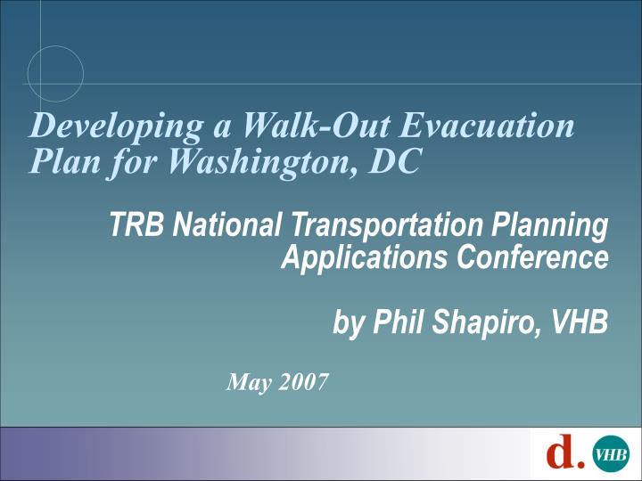
Developing a Walk-Out Evacuation Plan for Washington, DC. TRB National Transportation Planning Applications Conference by Phil Shapiro, VHB. May 2007. Contributors. Soumya Dey, DDOT Joe Kammerman, DDOT George Branyan, DDOT David Anspacher, VHB Dalia Leven, VHB Peter Cusolito, VHB

E N D
Developing a Walk-Out Evacuation Plan for Washington, DC TRB National Transportation Planning Applications Conference by Phil Shapiro, VHB May 2007
Contributors • Soumya Dey, DDOT • Joe Kammerman, DDOT • George Branyan, DDOT • David Anspacher, VHB • Dalia Leven, VHB • Peter Cusolito, VHB • Joe Ojeda, VHB
Objectives • Facilitate pedestrian egress due to an event that requires an undeclared evacuation of District • Terrorism • Chemical spill • Other • Identify pedestrian evacuees • Volume • Travel patterns • Develop systematic plan to facilitate pedestrian egress
Model & Planning Assumptions • Initial step of continuing planning process • Follow-on planning required for MOUs, SOPs, etc • Plan supports evacuation of: • Entire City • Individual Sub-areas of District • Includes residents, non-residents & visitors • Separate plans for: • Mobility impaired • K-12 students (public and private) • Start-up time for evacuee bus transportation: 3 hrs
Project Status • Initial Analysis Completed • Draft Proposal for Inclusion in Emergency Transportation Annex • Stakeholder Coordination Continuing • Operational Issues Under Review • Standard Operating Procedures Must be Developed
Project Overview Determine Evacuation Scenarios Pedestrian Volumes and Routes Emergency Transportation Annex (ETA) Operational Strategies for Implementation
Review Existing Information • Threat Vulnerability Assessment • Emergency Transportation Annex • Vehicle Evacuation Plan/Routes • Consequence Mgmt Center & Traffic Mgmt Center protocols, procedures, diagrams and maps • Transfer Locations • Census Data • Travel Data • Available pedestrian facilities (sidewalks, etc.)
Evacuation Structure • Transfer Points • Collection Areas • Bus Routes
Walk-Out Routes • Pedestrians guided to routes that minimize interference with vehicular travel • Pedestrians able to walk on all facilities • Pedestrians will be supported on walk-out routes • Information • Police / traffic control • Food and water • Medical • Use of sidewalks and a few designated roadways (only when sidewalks too crowded)
Evacuation Time Periods • Daytime Incident • Most bodies at desks • Weekday - 10:00 a.m. to 2:00 p.m. • Evacuation of entire city • Nighttime Incident • Most bodies in bed • Weekday - 12:00 a.m. to 4:00 a.m. • Evacuation of entire city
Pedestrian Volumes • Evacuees at time of event • Daytime scenario – approx. 850,000 • Nighttime scenario – approx. 700,000 • Evacuees that are pedestrians • Daytime scenario – approx. 400,000 • Nighttime scenario – approx. 300,000 • Evacuees by sub-area
Destination/Mode Choice • Choice of destination (transfer point, collection area) is determined by weighted total time • Walk Time (weight = 1.5) • Wait Time (weight = 1) • Startup Time (assumed as 3 hrs) • Queue Time • Bus Time (weight = 1) • Logit model distributed evacuees across all of the available transfer points and collection areas
Assignment • Uses standard regional model with some modifications to the network: • Addition of non-vehicular facilities • Removal of vehicle-only highway facilities • Removal of all one-way restrictions • Definition of all speeds as 3 mph (4 ft/sec)
Walk-Out Corridors Preliminary Draft
Research Topics • How far are people willing to walk during an evacuation? • Where do you direct pedestrian evacuees? • Who will wait for transportation and who will walk? • What support services are necessary? • Water • Medical • Other • How can undeclared evacuation be supported? • If sidewalk facilities are insufficient to accommodate pedestrian volumes, how do you dedicate roadways to evacuees? • Limited access facilities • At grade roadways