Download
1 / 20
200 likes | 351 Views
Unit 2: The United States and Canada Section 1: Physical Features. Bellwork : Copy this week’s info in planner. Copy textbook website for online book from board. Define the following words in the bellwork section of your notebook. They can be found on pages 149-153 of your book.

E N D
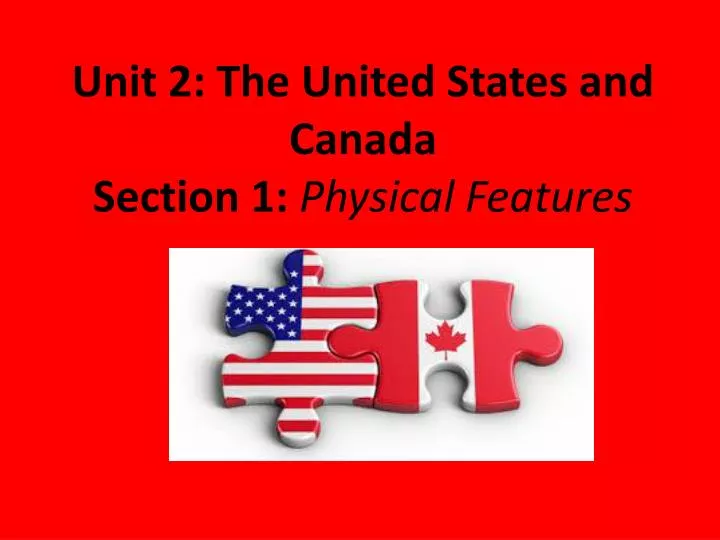
Unit 2: The United States and Canada Section 1: Physical Features
Bellwork: Copy this week’s info in planner. Copy textbook website for online book from board. Define the following words in the bellwork section of your notebook. They can be found on pages 149-153 of your book. - plateau - plains -barrier islands - piedmont - fall lines - basins - hot spot
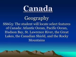
The United States and Canada make up about 80% of North America. • Most of the major landform regions stretch across both countries. • The landforms on the eastern side of the two countries are older than those in the western half. Therefore, eastern mountains are more eroded while the west has a “younger” landscape.
Bellwork – 9/4/2013 • Identify (define) the following landforms (use your Gazetteer): • Canadian Shield • Appalachian Mountains • Death Valley • Ring of Fire • Continental Divide
A long coastal plain stretches along the Atlantic Ocean and Gulf of Mexico (from New England to Mexico).
The coastal plain is close to sea level near the coast and rises gradually inland. • It is narrowest along the northern Atlantic coast but widens south of New York.
Barrier islands have formed in some parts of the coastal plain. Ocean waves and currents create these long shallow islands by depositing sand in shallow water.
A piedmont is an upland region located inland from the coastal plain. It is at or near the foot of a mountainous region. • The piedmont in the US stretches from New Jersey to Alabama.
The fall line is the boundary between the Piedmont and the coastal plain. • At the fall line, where the piedmont meets the coastal plains, there are often waterfalls. • Because ships could reach the fall lines from the ocean by traveling on the rivers (but could not go past it), many cities are built along the fall line. • The waterfalls were also often used to create power (energy) that powered early industry.
CHECK FOR UNDERSTANDING… • WHY WERE MANY SETTLEMENTS IN THE EASTERN UNITED STATES FOUNDED ALONG THE FALL LINE?
Bellwork – 9/5/2013 • Create a graphic organizer (below) to describe the landforms in the East Coast, Interior Plains, Canadian Shield and Pacific Coast Region(use pgs 150 – 152).
The East • The Appalachian Mountains rise to the west and north of the Piedmont. • They stretch from Alabama to Canada. • The Appalachians include several mountain ranges: • Blue Ridge Mountains • Catskill Mountains • Green Mountains
The Interior Plains • The Mississippi River and its tributaries drain most of this region • During the ice age, the northern part of this region was covered in glaciers. • Thousands of lakes(including Great Lakes) Rolling hills, productive soil
The Interior Plains • The Mississippi River and its tributaries drain most of this region • During the ice age, the northern part of this region was covered in glaciers. • Thousands of lakes(including Great Lakes) Rolling hills, productive soil
The Great Plains • This is a sub-region of the interior plains • Stretch from south central Canada into Texas and Mexico • Reach the east edge of the Rocky Mountains • High elevations • – above sea level
The Canadian Shield • An arc of ancient rock that covers nearly half of Canada • Centered on the Hudson Bay • It stretches from the Arctic Ocean eastward to the Atlantic coast. • Rocky landscape caused by glaciers.
The West • The Rocky Mountain Region • Rocky Mountains stretch from New Mexico to Canada • High plains and valley separate the many mountain ranges of the Rockies
The Pacific Mountains and Valleys • On the Pacific Coast • Two major mountain regions: Sierra Nevada and the Cascades • A series of high volcanoes are found in this area.
The Intermountain Region • Area between the Pacific Mountains and the Rocky Mountains • Made up of high plateaus with deep canyons, isolated mountain ranges, and desert basins (an area of lower land surrounded by mountains). • Includes California’s • Death Valley (the • lowest point in • North America).
The Ring of Fire • The rugged part of the United States is part of the Ring of Fire – a tectonically active region around the edges of the Pacific. • It has many active volcanoes and earthquakes faults. • Some areas of coastal California lie on the Pacific plat and are separated from the North American plate along the San Andreas Fault. Major earthquakes occur periodically along this fault.