Download
1 / 25
250 likes | 343 Views
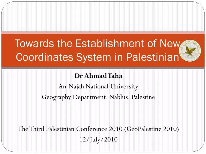
Towards the Establishment of New Coordinates System in Palestinian. Dr Ahmad Taha An-Najah National University Geography Department, Nablus, Palestine The Third Palestinian Conference 2010 ( GeoPalestine 2010) 12/July/2010. Presentation Structure. Overview Evaluation of Control Points

E N D
Towards the Establishment of New Coordinates System in Palestinian Dr Ahmad Taha An-Najah National University Geography Department, Nablus, Palestine The Third Palestinian Conference 2010 (GeoPalestine 2010) 12/July/2010
Presentation Structure • Overview • Evaluation of Control Points • How errors affect our life? • Solution: New Palestinian National Grid • Conclusions • Acknowledgments
Overview • British Survey of Palestine during 1920 - 1948 results in the establishment of horizontal and vertical networks • Horizontal Network: consists of several points distributed in Palestine in different orders. • Chain was used in measurement of baseline • Theodolite was used in measurement of angles • Vertical Network: • Precise leveling – few points • Trigonometric leveling – horizontal points
Overview: Survey of Palestine The Major Triangulation system in Palestine (left) and measurement taken from point 2M of the Palestine Major triangulation base line (right). Source: http://www.pef.org.uk/monographs/the-survey-of-palestine-under-the-british-mandate-1920-1948 (14-05-2010)
Evaluation of Control Points Topcon Hiper+ GNSS receiver in Real Time Kinematic (RTK) was used.
Evaluation of Control Points • British Network • Assessment of Trig Points:
Evaluation of Control Points • British Network • Assessment of Trig Points:
Evaluation of Control Points • British Network • Assessment of Trig Points:
Evaluation of Control Points • Jordanian Network • Densification of the British Horizontal Network using Theodolite
Evaluation of Control Points • During Israel Occupation • Densification of the British Horizontal Network using Traverse • Accumulated error • Allowed error in traverse of 3582.87m is 2.35m
Evaluation of Control Points • During Palestinian Authority • Still use traverse • Start using GPS • Every surveyor measures a polygon in his area • Israel GPS companies compute 7 transformation parameters • Example: Ramallah and Bethlehem parameters
How errors affect our life? Cause large errors in property boundaries and accumulated errors in engineering projects.
Solution: New National Grid – PG10 There is a serious need to establish a precise National Geodetic Network (Palestine Grid 2010 – PG10) to replace the traditional networks with a superior GPS-based solution.
Solution: New National Grid – PG10 Previous Work • In 1999, Ordnance Survey (OS) team, from the U.K., have a reconnaissance visit and they recommended to establish a new geodetic network for West Bank and Gaza. • In 2000, Norway Mapping Palestine project: • Measured two polygons: one in Nablus and the other in Ramallah. • The result of this work was a list of adjusted coordinates based on the current coordinates system. • They recommended to carry on similar work in Jenin, Tulkarim, Qalqilia and Hebron.
Solution: New National Grid – PG10 Background: • GPS provides with 3D Cartesian coordinates (X,Y,Z) (Earth Center Earth Fix -ECEF- coordinates) • To convert these coordinates to Grid coordinates (E,N), we need a map projection (Horizontal coordinates) • Map projection requires the definition of a reference ellipsoid and a projection type • A transformation is required to convert between old and new coordinates system • We need a vertical datum for heights
Solution: New National Grid – PG10 Reference Ellipsoid • Ellipsoid parameters: • a: semi-major axis • b: semi-minor axis • or f: flattening , f=(a-b)/a • f expressed as 1/f • Old System: Clarke 1880 Palestine • (a=6378300.789m, 1/f= 293.466) • New System: WGS84 datum surface • (a = 6378137.00m, 1/f=1/298.257223563)
Solution: New National Grid – PG10 Projection Type • Old System: Cassini Soldner • New System: Transverse Mercator which is best suited for north–south areas like Palestine • Central Meridian (main datum point): as in the old projection, crosses through Jerusalem (82M) • New Zero at 34˚00’00”E, 29˚00’00”N to avoid negative values in the south • Main grid point values • False Easting (m): 170251.5545 (old), ≈114600.00 (New) • False Northing(m): 126867.9090 (old), ≈305000.00(New) • New Grid Scale factor: 1.0000067
Solution: New National Grid – PG10 Vertical Datum • Can be either Ellipsoid or Geoid • Start with Ellipsoid (same as horizontal: WGS84 datum) • Then we can use Geoid when ready
Solution: New National Grid – PG10 Where to start from? Stage 1: • Measure several control points (30-40 km apart) distributed all over West-Bank using GPS. • Tied into the International Terrestrial Reference Frame (ITRF) through the IGS (International GPS Service) stations • These points will form the zero order control points of the new system
Solution: New National Grid – PG10 Stage 2: • Densification of passive and active stations. • The passive stations consists of publicly accessible control points. • The active stations consists of permanent GPS reference stations. • The data from the active stations can be used to produce a real time positioning through a Virtual Reference Station System (VRS)
Solution: New National Grid – PG10 What have been done so far? • Form a National Surveying Committee to put new surveying standards and to organize all surveying issues in Palestine • Start Planning the location of the control points • Preliminarily agreement with Nablus Municipality to fund a pilot project (Nablus First) of four reference stations to cover Nablus district.
Solution: New National Grid – PG10 What have been done so far? • A home made software called Najah Surveying Suite (NSS) has been developed to compute the 7 transformation parameters using least squares.
Conclusions • Large errors up to 40cm in the horizontal control points and up to 20cm in the vertical controls. • Accumulated errors can affect our life seriously and caused large errors of more than 1.0m. • Solution for such errors can be through the establishment of new National Grid in Palestine. • Parameters of the proposed Palestine Grid 2010 (PG10) have been determined. • Planning and preparation stages have been started.
Acknowledgments I would like to thank Mr Mohammad Al-Shenarand MrNidalDalal for their hard work to organize a workshop to discuss the issues to establish the new system. Special thanks go to Dr Ahmad Ra’fat for his unlimited support. Also, I would like to thank MrAssriAtala and his team in the Surveying Department for their great corporation. Many thanks go to the wonderful team of Taha Surveying, especialyMr Ashraf Qadus, for the hard work in the data collection.