Download
1 / 8
80 likes | 285 Views
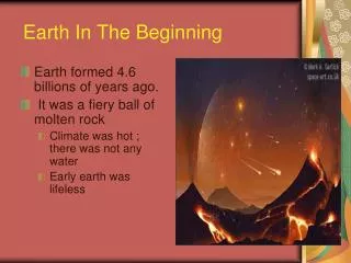
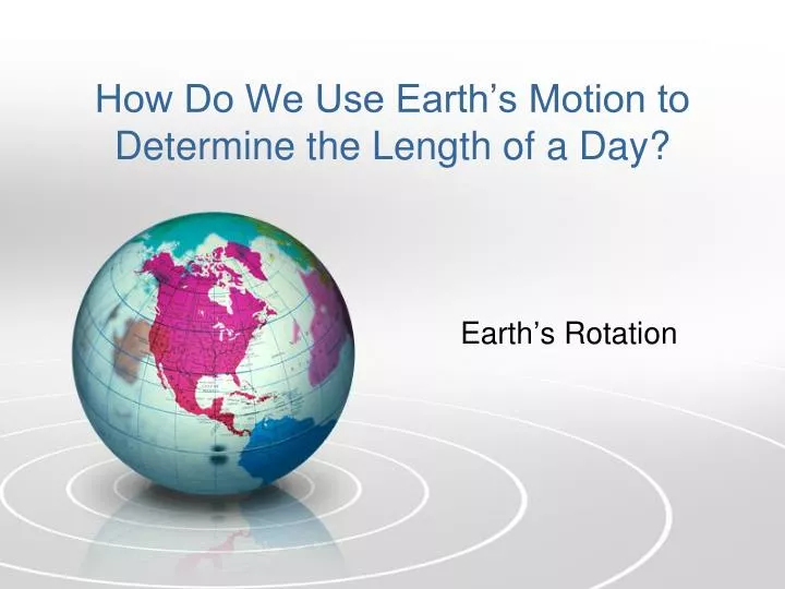
How Do We Use Earth’s Motion to Determine the Length of a Day?. Earth’s Rotation. DO NOW:. Write the following vocabulary definitions: Rotation : The spinning motion of a celestial body on its axis. Sidereal Day:

E N D
How Do We Use Earth’s Motion to Determine the Length of a Day? Earth’s Rotation
DO NOW: • Write the following vocabulary definitions: • Rotation: • The spinning motion of a celestial body on its axis. • Sidereal Day: • The length of time it takes the Earth to complete one full rotation (360). The time is 23 hours and 56 minutes. • Solar Day: • The time we use to measure the length of a true day (sunrise to sunrise) although it does not represent a 360 turn. • Zenith: • A point in the sky directly overhead.
Using Shadows to Measure Earth’s Rotation • Early in the day, the shadow is long and projected to the West. By mid-day the shadow is short and projected to the North, precisely at noon the shadow appears at its shortest length. At the end of day the shadow is long and projected to the East.
Noon – Sun reaching highest point in its path across the sky. • There is no place on the continental United States where the Sun appears directly overhead (zenith). • The Sun’s path is always south of the east-west line as it crosses the continental United States.
the Sun's Apparent Path Across the Sky Along the Continental U.S.
Using simple shadow stick data to determine local time and observer’s longitude • http://www.astronomygcse.co.uk/AstroGCSE/New%20Site/Topic%201/earth%20moon%20sun/shadow_sticks_and_sundials.htm
Graph showing relationship between length of shadow and time