Download
1 / 35
350 likes | 354 Views
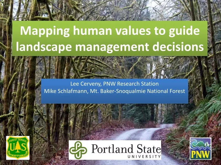
Mapping human values to guide landscape management decisions. Lee Cerveny, PNW Research Station Mike Schlafmann, Mt. Baker-Snoqualmie National Forest. OUTLINE. Human ecology mapping overview Human ecology mapping for sustainable roads Building social capacity Discussion.

E N D
Mapping human values to guide landscape management decisions Lee Cerveny, PNW Research Station Mike Schlafmann, Mt. Baker-Snoqualmie National Forest
OUTLINE • Human ecology mapping overview • Human ecology mapping for sustainable roads • Building social capacity • Discussion
CONCEPTUALIZING “PLACE” • Place Attachment – people develop connections to a place based on repeated experiences and in-depth knowledge of that place • Place Dependence – people have places they rely on to provide services & products that sustain their livelihoods or lifestyles or provide desired experiences. • Place Identity – people have places with deep symbolic meaning (cultural, historical, spiritual) that are important to defining who they are in the world.
WHAT IS HUMAN ECOLOGY MAPPING? • Human ecology mapping uses maps and other geo-spatial tools to understand people’s relationships with a landscape. • Special places • Social values • Resources they use • Ecosystem benefits Participatory mapping is a way to strengthen relationships, grow mutual understanding and create new opportunities.
MANY WAYS OF MAPPING • Participants draw their own maps of their landscape • Draw pictures or write narratives on existing maps • Use maps to tell stories (oral histories) • Use dots to indicate critical sites • Use points, lines, polygons to designate meaningful places McLain, R. (2013) Making Sense of Human Ecology Mapping. Human Ecology
HUMAN ECOLOGY MAPPING IS FLEXIBLE Multiple Approaches • Public meetings • Websites/on-line mapping • Targeted user groups • On-site (visitor centers, trailheads) • Events (fairs, farmer’s markets) Public meeting for sustainable roads Visitor mapping, WA state ferry
The map is not the territory. The territory lives in our hearts and minds. The map helps us find our way. Alfred Korzybski
SUSTAINABLE ROADS: MT. BAKER-SNOQUALMIE NATIONAL FOREST GOALS • Engage the public about the importance of forest roads • Gather information from the public about places that matter and roads they use • Produce socio-spatial data for forest planning team
SUSTAINABLE ROADS PROCESS • Partners involved in multipleproject phases • Variety of communities: rural, urban, virtual • Well supported by USFS officials • Multiple ways to engage: • Public meetings (284) • On-line survey (1700) • Blog-site commentary (200+)
SUSTAINABLE ROADS CADRE “SRC” • Planning public meeting approach & schedule • Web host for blog (TWS) • Web host for survey (WTA) • Identifying meeting sites • Hosting meetings (food) • Recruitment • Facilitators • Ongoing communications • Interpreting results The Sustainable Roads Cadre now includes more than 45 partner groups and a core planning team of 5 partners.
PART A. FOREST DESTINATIONS Destination Mapping • Identify 8 forest destinations • Why destination is important to you • Activities you do there • Frequency of visits • Vehicle used • Access route ON THE MAP: Place a dot on the map for each destination. Use a highlighter pen to trace the route you travel to reach that destination. 6-7 participants and 2 volunteer facilitators per table.
PART B: GROUP DIALOGUE • What are the consequences of a reduced road system? • What criteria should the USFS use to decide which roads to prioritize? • What strategies, ideas, or opportunities could help adapt to changes?
DIFFERENCES BETWEEN URBAN AND RURAL RESIDENTS DIFFERENCES BY ZIP CODE Seattle Area Mountain Loop
DIFFERENCES BY USER GROUP Hiking Motorized Recreation
CRITERIA FOR DECIDING ROAD STATUS • Diversity of activities a road may support • Volume of public use • Cost to maintain road • Effect on local industries • Ecological health • Potential for connectivity and loops
STRATEGIES AND OPPORTUNITIES • Volunteer brigades for roads maintenance (adopt-a-road) • NW Forest Road Pass Program People for Public Access
LOOPING BACK • Bringing maps back to the communities • Opportunity to show what we found • Confirmation, questions, interpretations • Seeing themselves in the data • Maintaining momentum
Do you see yourself in the maps? I do indeed.
PLANNING & DECISION OUTCOMES: Nooksack Watershed ATM • Sustainable Roads Collaborative Proposed Action • Participants are better able to make sense of the social, ecologic and economic landscape • Participants are more accepting of tradeoffs
OTHER OUTCOMES • Strong Cadre of Partners and Public Engage Directly in Developing, Facilitating and Leading Efforts • Development of Monitoring Strategy and Stewardship Plan for Climbers on Mt. Baker • Stillaguamish Sauk Region Sustainable Tourism Strategy • Skykomish Region Sustainable Tourism Strategy • Snoqualmie Valley Sustainable Recreation Strategy
WHAT WE LEARNED • Engaging partners early fundamentally changed the process and generated enduring momentum. • Maps get people thinking about what is important to them about a place. • Maps provide a vehicle for people to share stories about how they connect to a place which seems to diffuse conflict. • Importance of letting go the need for control.
HUMAN ECOLOGY MAPPING: DESCHUTES & OCHOCO NF (2016) Important Forest Places • Benefits/Values • Uses/Activities • Features • Threats • Management strategies Strategies: • Online survey • Public events (I-pads) • Targeted workshops Partners: • Deschutes & Ochoco NFs • Discover Your Forest • Portland State University • USFS Pacific NW Region (R6) • Pacific NW Research Station
ONLINE SURVEY • Gender: 71% male; 29%female • Avg. years in area: 32 • Average age: 51 years • Percent attending as official representative: 4% • Percent who drive on USFS roads for work: 38% OVERVIEW • 1,776 responded • 1,510 valid entries • 898 provided at least one forest destination More than 45% of survey respondents were from urban King County
DEMOGRAPHIC SUMMARY • Average attendance: 31 • Gender: 74%male; 26%female • Avg. years in area: 37 years • Average age: 54 years • Percent attending as official representative: 48% • Percent who drive on USFS roads for work: 58%