Download
1 / 19
190 likes | 282 Views
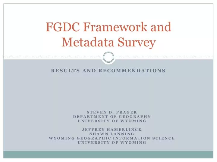
FGDC Framework and Metadata Survey. Results and Recommendations. Steven D. Prager Department of Geography University of Wyoming Jeffrey Hamerlinck Shawn Lanning Wyoming Geographic Information Science University of Wyoming. Project Scope. Training Materials for Framework Standards

E N D
FGDC Framework and Metadata Survey Results and Recommendations Steven D. Prager Department of Geography University of Wyoming Jeffrey Hamerlinck Shawn Lanning Wyoming Geographic Information Science University of Wyoming
Project Scope • Training Materials for Framework Standards • Base and Hydrography Standards – Completed • Governmental Boundaries, Transportation Base, Transportation Roads – In Progress • White Paper on Best Management Practices for Integrating Framework Principles into Higher Education Curricula • Informed by Framework Survey • Broadened to Address other Standards Issues
Survey Overview • Total Questions: 41 • Total Respondents: 141 • Total Valid Reponses: 86-132 depending on question – 101 average valid responses. • Respondents represented both US and international concerns. • Of 101 respondents who provided information on location, 83 were in the US, 18 were OCONUS. • OCONUS respondents included Canada, Spain, India and others.
Respondent Institutional Role Responses: 132
Institutional Type (inc. Degree Programs) Responses: 110 Reponses of “other” that did not fit in one of the above included a GIS certificate program, a library, and K-12.
Importance of Metadata in Curriculum • 34% of respondents indicate issues regarding general metadata concepts have an important or very important role in GIS&T curriculum within their organizations (n=101). • Respondent Average: 2.50 • 76% of respondents indicate that metadata should have an important or very important role in general GIS&T curriculum. • Respondent Average: 5.02 • These are statistically significantly different. • Interpretation: suggests a discrepancy between practice and theory. (Scoring: Very Important 2, Important or Somewhat Important, 1, Not Important, 0)
Importance of SDI in Organizational Curriculum n=91, Reported % is the number of respondents who selected important or very important.
General Importance of SDI in Curriculum n=89, 91, 90 Reported % is the number of respondents who selected important or very important.
Metadata versus SDI • The general importance of metadata relative to other SDI concepts is significantly different. • Interpretation: on a general level metadata are viewed as more important than SDI, NSDI and GSDI. • The organizational/curricular importance of metadata is not significantly different than general SDI concepts but is significantly different than NSDI or GSDI. • Interpretation: spatial data infrastructure receives curricular attention on par with metadata in spite of the differences in perceived relative importance.
Familiarity with Framework Concepts 58% of respondents report 5 or more years of awareness of SDI concepts (n=88). 45% of respondents report 5 or more years of using SDI concepts in day-to-day activities (n=86). 76% of respondents indicate somewhat or greater familiarity with Framework (n=91).
More on Framework • Respondents are statistically consistent with regard to expressing general familiarity with Framework and corresponding familiarity with Framework Base Standard and Framework Themes. • Respondents who expressed greater importance with regard to SDI concepts were more likely to indicate familiarity with Framework concepts than were respondents who indicated lower SDI importance. • Interpretation: more sophisticated users are more likely to have knowledge of Framework concepts.
Demographics of Framework Familiarity One of our original hypotheses is that respondents from government and business (Non Academic Professionals) would have greater familiarity with Framework that members of the academic community. Though additional analysis is required, the above results suggest that the opposite is true. (The Framework Familiarity Score is the average familiarity level across Framework Base and Themes. A score of 2 indicates very familiar or familiar, a score of 1 indicates somewhat familiar and 0 indicates unfamiliar.)
Benefits of Standards 38% of respondents indicate they regularly or often derive benefits from standards for teaching (n=86). 62% of respondents indicate they regularly or often derive benefits from standards for research (n=86). 77% of respondents indicate they would be somewhat willing or very willing to participate in geospatial standards development (n=87). Over 90% of respondents indicate standards are very important for data development, data transfer and interoperability (n=88).
Summary Conclusions • The survey was a success! • A higher response rate would have been nice, but we can still draw some interesting conclusions. • Cross tabulation and correlation analysis yield some very interesting insights. • However, we still have more to learn when comparing government or business users versus academic users. • Respondents generally appeared to have some modicum of understanding of Framework. • This may be, in part, due to self-selection. However, it bodes well that as many people expressed familiarity as did. • General observation: • Some of these concepts (e.g., NSDI) have become so common place that they are almost invisible. Though it would be a challenge to demonstrate statistically, there is some possibility that people benefit more than they actually realize.
Next Steps • ESRI Education User Conference Paper • August 2008 • Recommendations • Develop a concise “value proposition” • Continue online training initiative • Strategic outreach to academic community • Special sessions or workshops at national and regional meetings • AAG • NCGE • Direct involvement in community efforts • UCGIS Body of Knowledge • Proactively engage colleges and universities • In class presentations (student engagement is clearly important!) • Promotion of online resources • Participation/creation of virtual seminars