Download
1 / 13
130 likes | 313 Views
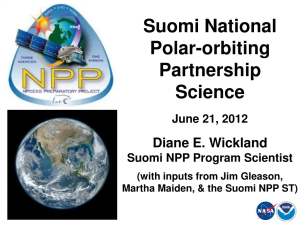
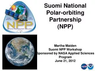
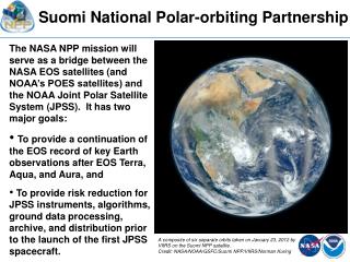
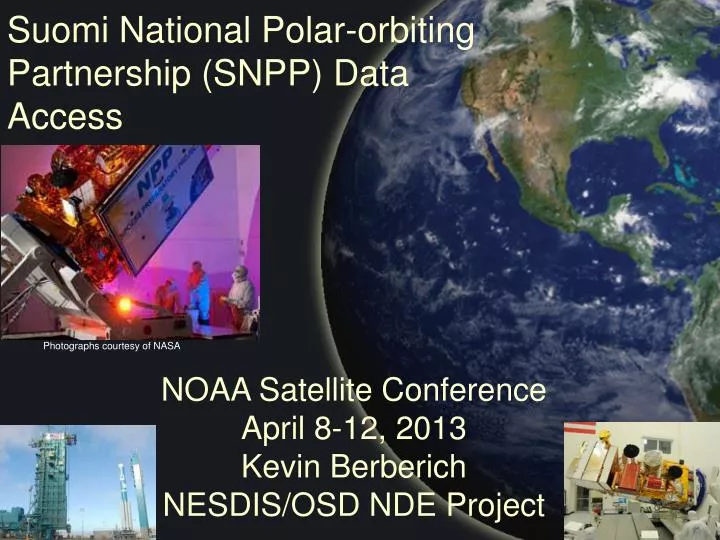
Suomi National Polar-orbiting Partnership (SNPP) Data Access. Photographs courtesy of NASA. NOAA Satellite Conference April 8-12, 2013 Kevin Berberich NESDIS/OSD NDE Project. Outline. SNPP Ground System Overview Access to SNPP Data Sets: NOAA’s Archive System

E N D
Suomi National Polar-orbiting Partnership (SNPP) Data Access Photographs courtesy of NASA NOAA Satellite Conference April 8-12, 2013 Kevin Berberich NESDIS/OSD NDE Project
Outline • SNPP Ground System Overview • Access to SNPP Data Sets: • NOAA’s Archive System • NESDIS Environmental Satellite Processing Center (ESPC) • Direct Readout • Global Telecommunications Service (GTS) & EUMETCast • NOAA’s Research Office – Anonymous FTP Sites • Summary • Q & A NOAA Satellite and Information Service: National Environmental Satellite, Data, and Information Service (NESDIS)
System Description(Ground System) Numerical Weather Prediction NOAA Archive NOAA Interface Data Processing Segment (IDPS) Mission Data Commands and Telemetry KSAT (Svalbard) Interface Data Processor (NOAA) Mission Management Center (MMC) NPP Data Exploitation (NDE) Interface Data Processor (Air Force) Users National Weather Service Field Offices National Ocean Service TDRSS Command, Control and Communications Segment (C3S) Interface Data Processing Segment (IDPS) OtherUsers Environmental Satellite Processing Center White Sands Ground Terminal (NM) Common Ground System Other Satellites (GOES, POES, Jason) NOAA Satellite and Information Service: National Environmental Satellite, Data, and Information Service (NESDIS)
Archived SNPP Data • NOAA’s archive system: Comprehensive Large Array-data Stewardship System (CLASS, http://www.class.noaa.gov/) • Data delayed by 6 hours or more - normally available to users within 24 hours. • NOAA archives: • Raw, sensor and environmental data records (RDRs, SDRs, EDRs) • Ancillary and auxiliary data • Software release packages • Registered calibration and validation team members have immediate access to new data sets. • Registered public users have access after JPSS Program Office declares products have reached β and/or Provisional status. NOAA Satellite and Information Service: National Environmental Satellite, Data, and Information Service (NESDIS)
SNPP Data Exploitation (NDE) Project Overview • NDE MISSION: • The NDE Project’s primary mission is to provide near real time products derived from SNPP observations to NOAA’s operational and climate communities and other civilian and U.S. Government users. NOAA Satellite and Information Service: National Environmental Satellite, Data, and Information Service (NESDIS)
NDE’s Perspective of the World SNPP Svalbard NOAA Satellite Operations Facility (NSOF) JPSS/SNPP Ground System NDE Ingest Data Records (xDRs) Product Generation Product Distribution System Monitoring User Services NDE Unique Products (NUP) Tailored Products xDRs External/Internal Operational Users Archive – CLASS (NUPs only) NASA VIIRS Image NOAA Satellite and Information Service: National Environmental Satellite, Data, and Information Service (NESDIS)
Near Real Time SNPP Data • NOAA’s NPP Data Exploitation (NDE) Project • NDE’s scope is to serves the near real time user community • Currently distributing data to priority users on best-effort basis • Product access capabilities include SNPP SDRs, EDRs and NDE Unique Products (NUPs) with tailoring options • NOAA’s Office of Satellite and Product Operations (OSPO) provides a 24x7 Help Desk facility to report data anomalies • FTPS protocol per RFC 4217 (encrypted control, unencrypted data), push and pull • NOAA will not monitor production on a 24x7 basis until late summer 2013 following NDE system handover to NESDIS operations • NOAA is preparing a SNPP Ground System remote backup capability in 2015 NOAA Satellite and Information Service: National Environmental Satellite, Data, and Information Service (NESDIS)
Near Real Time SNPP Data(cont.) • NOAA’s NPP Data Exploitation (NDE) Project (cont.) • Users must: • Submit SNPP Data Access Request (DAR) Form to NESDIS.Data.Access@noaa.gov • Requests involving large data volumes will require the user to establish a communication capability to access SNPP data. Limited tests may be conducted via Internet • SNPP DAR Approval/Evaluation Process is being executed • Led by OSPO’s Data Operations Manager • Supported by NDE and OSPO Representatives • Direct Readout Capability (X-Band) can be used to receive SNPP data in regional areas • The Community Satellite Processing Package-Direct Readout Science Processing Algorithm (CSPP-DR_SPA) NOAA Satellite and Information Service: National Environmental Satellite, Data, and Information Service (NESDIS)
Near Real Time SNPP Data(cont.) • Global Telecommunications Service (GTS) & European Organisation for the Exploitation of Meteorological Satellites (EUMETSAT) • EUMETSAT redistributes/makes available the NDE delivered CrIS and ATMS radiance sensor data records in BUFR format on GTS and EUMETCast (Activated on 31 July 2012) • GTS is used for operational international exchange of meteorological data between National Centers • EUMETCast is a satellite multicast system using DVB-S technology. Users register for access via EUMETSAT NOAA Satellite and Information Service: National Environmental Satellite, Data, and Information Service (NESDIS)
Sample SNPP Data Sets • NOAA’s research office has placed sample data sets at the following locations: • BUFR ATMS and CrIS 399 channel files: • ftp://ftp2.orbit.nesdis.noaa.gov/smcd/tking/ATMS_BUFR/ • ftp://ftp2.orbit.nesdis.noaa.gov/smcd/tking/CrIS_BUFR/ • NOAA Unique CrIS-ATMS Product System (NUCAPS) EDR files: • ftp://ftp2.star.nesdis.noaa.gov/smcd/tking/NUCAPS/EDR/ • VIIRS BUFR files: • ftp://ftp2.star.nesdis.noaa.gov/smcd/ysong/VIIRS/Iband-SDR/ • Sea Surface Temperature (SST) BUFR files: • ftp://ftp2.star.nesdis.noaa.gov/smcd/ysong/SST/ • Advanced Clear-Sky Processor for Oceans (ACSPO) SST files: • ftp://www.star.nesdis.noaa.gov/pub/sod/osb/jstroup/ACSPO/sampleData/viirs/EUMETSAT/ NOAA Satellite and Information Service: National Environmental Satellite, Data, and Information Service (NESDIS)
Sample SNPP Data Sets(cont.) • Aerosol Optical Thickness (AOT) BUFR files: • ftp://ftp2.star.nesdis.noaa.gov/smcd/ysong/AOT/ • OMPS Ozone Total Column BUFR files: • ftp://ftp2.orbit.nesdis.noaa.gov/smcd/ysong/OMPS-TC/ • OMPS Ozone Nadir Profile BUFR files: • ftp://ftp2.orbit.nesdis.noaa.gov/smcd/ysong/OMPS-NP/ • Ocean Color Data (Experimental) • Available via the web: http://coastwatch.noaa.gov • Data latency of ~72 hours • Monitored 8x5 • At this time water leaving radiances (nLw) and Chlorophyll A for U.S. coastal areas • Product Resolution: 0.75km • Product suite and availability subject to change and interruption • Free and open availability for quality assessment and user readiness NOAA Satellite and Information Service: National Environmental Satellite, Data, and Information Service (NESDIS)
Summary • NESDIS is striving to provide more value added satellite information to the community • Satellite data volumes present significant transfer challenges • NESDIS is currently working toward transitioning NDE from development to operations • Following successful handover of the system; NESDIS will service SNPP DAR requests to the best of their ability based on: • Available resources • What the infrastructure permits NOAA Satellite and Information Service: National Environmental Satellite, Data, and Information Service (NESDIS)
Q & A Thank You! Questions and Answers ? NOAA Satellite and Information Service: National Environmental Satellite, Data, and Information Service (NESDIS)