Download
1 / 19
190 likes | 286 Views
The ESA CoSMOS study for the validation of the SMOS L2 prototype. K Saleh Contell, Y. Kerr, MJ Escorihuela, G. Boulet, P. Maisongrande, P. de Rosnay, JP Wigneron, A Cano, E Lopez-Baeza, JP Grant, J Balling, N Skou, M Berger, S Delwart, P Wursteisen. 1. OUTLINE Presentation of the CoSMOS study

E N D
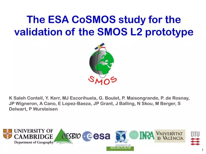
The ESA CoSMOS study for the validation of the SMOS L2 prototype K Saleh Contell, Y. Kerr, MJ Escorihuela, G. Boulet, P. Maisongrande, P. de Rosnay, JP Wigneron, A Cano, E Lopez-Baeza, JP Grant, J Balling, N Skou, M Berger, S Delwart, P Wursteisen 1
OUTLINE Presentation of the CoSMOS study Overview of the ESA CoSMOS campaign Data processing for validation of the SMOS SM L2 prototype Ongoing studies Conclusion 2
1/ Presentation of the CoSMOS study Objectives PERFORMANCE OF THE SMOS L2 ‘DEFAULT MODEL’? FIRST EVALUATION OF THE SMOS SM LEVEL 2 (L2) ALGORITHM USING REAL DATA FINE TUNE MODELLING OF MICROWAVE MODEL L-MEB ‘OPPORTUNITY STUDIES’ (e.g. land sun-glint, fully polarimetric data, sensor intercomp.) SENSITIVITY OF RETRIEVALS TO INPUT SURFACE DATA? (e.g. surface T, …) 3
1/ Presentation of the CoSMOS study Data sets 2005 ESA CoSMOS Campaign EMIRAD L-BAND RADIOMETER NAFE-05 PLMR L-BAND RADIOMETER 4
1/ Presentation of the CoSMOS study Schedule SMOS launch 5
2/ Overview of the CoSMOS Campaign ESA flights EMIRAD POLARIMETRIC RADIOMETER (TUD) onboard Aero Commander 500S ~ 40 deg Nadir 6
calibration 2/ Overview of the CoSMOS Campaign ESA flights 7
14/11 15/11 17/11 water regular regular rainfall 20/11 21/11 22/11 23/11 regular scaling water regular / scaling rainfall 03/12 09/12 27/11 29/11 regular scaling regular regular 2/ Overview of the CoSMOS Campaign [K] /sun glint 8
2/ Overview of the CoSMOS Campaign 2-week overlap shown: 17 EMIRAD/PLMR flights on same farm/day PLMR: (M) multiple resolution, (R) regional, (q) multi-angular, (D) dew 9
2/ Overview of the CoSMOS Campaign EMIRAD nadir off- nadir 10
2/ Overview of the CoSMOS Campaign EMIRAD nadir a) Rather stable TB measurements across the farm, specially for dry soil b) TB Response to soil moisture changes TB~ 40 K at nadir for grass TB~ 30 K at nadir for crops c) ‘Wet soil signature’ after rain (low litter content in farms) off- nadir 11
3/ Data processing for validation of the L2 processor c c c g g g g c g g g g f g g g g f 1 Antenna gain projected on the surface f(aircraft attitude, antenna orientation, gain pattern,topography) 2 Grid of normalised gains 3 Modelled TB (e.g. crop,grass,forest) 4 Transportation of simulation of TB from surface to antenna 5 Comparison to measured TB 12
3/ Data processing for validation of the L2 processor 1 2 13
c c c g g g g c g g g g f g g g g f FNO FNO FNO FNO FNO FNO FNO FNO FNO FNO FNO FNO FFO FNO FNO FNO FNO FFO 3/ Data processing for validation of the L2 processor 3 Gridded gain ‘L-MEB param. grid’ ‘Incidence angle grid’ Gridded Surface data e.g. SM’ ALL GRIDS SMOS Breadboards Gridded Land uses Modelled TB at the antenna level 14
4/ Ongoing studies for validation of the L2 algorithm VALIDATION GRASS/CROPS MICROWAVE MODEL GROUP OF STUDIES 1 VALIDATION SOIL MICROWAVE MODEL L2 VALIDATION FOR HOMOGENEOUS SURFACES LITTER AND INTERCEPTION FOREST MICROWAVE MODEL USES L-BAND DATA UNDER 1 KM 15
4/ Ongoing studies for validation of the L2 algorithm GROUP OF STUDIES 2 VALIDATION L2 HETEROGENEOUS SURFACES SM RETRIEVALS IN MIXED PIXELS ‘NOMINAL’ + ‘NOMINAL’ SM RETRIEVALS IN MIXED PIXELS ‘NOMINAL’ + ‘FOREST’ (SM retrieved in the nominal part only) wheat grass forest USES L-BAND DATA UNDER 1 KM grass SM? SM? 16
4/ Ongoing studies for validation of the L2 algorithm GROUP OF STUDIES 3 SM RETRIEVALS AT 1 KM FROM L2 AGGREGATED TBs SM VALIDATION FROM L2 RETRIEVALS AT THE SMOS SCALE VALIDATION OF LOW-RES SM USES LOW-RES L-BAND DATA SM? SM? 17
4/ Ongoing studies for validation of the L2 algorithm GROUP OF STUDIES 4 QUANTIFICATION OF SUN-GLINT REFLECTION OVER LAND USE OF FULLY POLARIMETRIC L-BAND DATA ‘OPPORTUNITY STUDIES’ COMPARISON PLMR-EMIRAD TOPOGRAPHY EFFECTS 18
5/ Conclusion • CoSMOS-NAFE Campaign provided a Great ‘Outdoors lab’ for SMOS Level 2 Implementation/Validation • Expected outputs: • Assessment of the ‘default’ Level 2 algorithm • Recommendations for algorithm improvement • Recommendations for future Cal/Val campaigns during the SMOS commissioning phase • For some preliminary results / project documents : -Saleh K et al., The CoSMOS L-band experiment in Southeast Australia, Proceeding of International Geoscience and Remote Sensing Symposium (IGARSS), Barcelona, Spain, 23 - 27 July, 2007. -Please contact kauzar.saleh@geog.cam.ac.uk 19