Download
1 / 23
370 likes | 1.69k Views
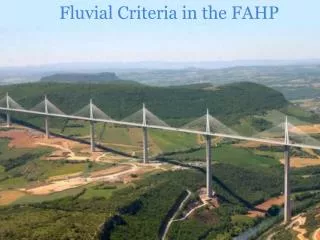
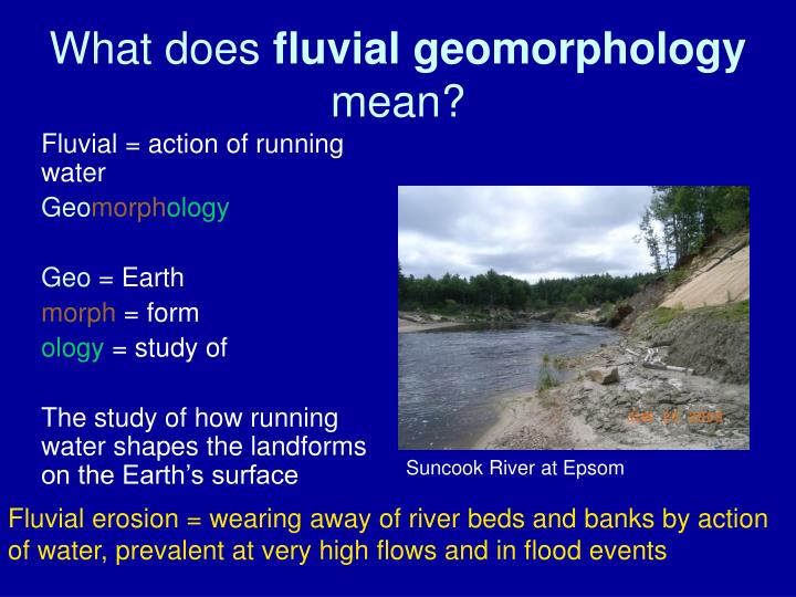
What does fluvial geomorphology mean?. Fluvial = action of running water Geo morph ology Geo = Earth morph = form ology = study of The study of how running water shapes the landforms on the Earth’s surface. Suncook River at Epsom.

E N D
What does fluvial geomorphology mean? Fluvial = action of running water Geomorphology Geo = Earth morph = form ology = study of The study of how running water shapes the landforms on the Earth’s surface Suncook River at Epsom Fluvial erosion = wearing away of river beds and banks by action of water, prevalent at very high flows and in flood events
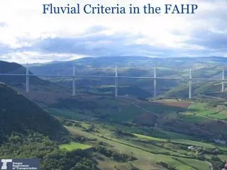
Fluvial Erosion Hazard (FEH) Program • The science of fluvial geomorphology provides the tools that can allow us to assess streams to determine the stability of reaches along a river channel. Reach = stream section with relatively uniform characteristics • Geomorphic assessments • On reaches so that zones of future potential erosion can be delineated
Fluvial Erosion Hazard (FEH) Program Benefits • Targeting of resources to minimize future erosion impacts caused by erosion, protecting lives, property, and infrastructure, thus enhancing public safety. • Identify areas adjacent to channels, including infrastructure (i.e., bridges/culverts) most potentially threatened by future fluvial erosion • Enhancement of existing NFIP zones
NFIP Assumes a static, stable, unchanging channel, with water that rises out of the channel spilling onto the surrounding floodplain, inundating adjacent lands, property, and infrastructure. Elevation Above mean sea level Land Water 140 140 120 120 100-year flood elevation level 100 100
FEH Assumes an active, unstable, dynamic channel, where the power of water in a high flow event can erode adjacent banks, and in some cases, cause a complete shift in the channel path, removing adjacent lands, property, and infrastructure. Elevation Above mean sea level Land Water 140 140 120 120 100-year flood elevation level 100 100 River undercuts stream bank, shifts course, and erodes into valley wall
Edge of valley Existing path of river channel After major flood, new path of river channel. Plus, all attendant erosion. River has access to erode within its valley, with increasing risk as sensitivities increase. Not elevation specific. River has access to valley
Geomorphic Assessments • Reach break determination • In-field data collection (assessment of present physical condition and sensitivity to future adjustment) • Classification of each reach
Fluvial Erosion Hazard Maps Hazard Type MD6 – Moderate Four (4) Channel Widths Hazard Type VH7 - Very High Six (6) channel widths Areas vulnerable to erosion, based on river process captured using FEH methodology. Sensitivity ratings used to determine widths, and so the appropriate width is already built into the zone.
Fluvial Erosion Hazard Maps Town of Exeter – from recently completed Exeter River assessment . . . The end product
The end product . . . FEH Zones that can be used to target resources to minimize future flood impacts, saving lives, property, and infrastructure.
Fluvial Erosion Hazards Program in New Hampshire Right now Ammonoosuc River Isinglass River
Lamprey Watershed Lamprey mainstem Little North Branch Lamprey North Piscassic (lower reach) Cocheco Watershed Cocheco mainstem Mad Axe Handle Brook Fluvial Erosion Hazards Program – The Future FEH zone delineation proceeds in same manner as for Exeter
Fluvial Geomorphic Assessments (FGA) & Fluvial Erosion Hazard (FEH) Mapping Who’s involved?