Download
1 / 10
100 likes | 201 Views
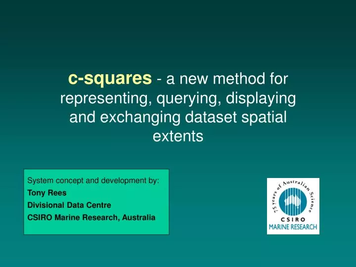
c-squares - a new method for representing, querying, displaying and exchanging dataset spatial extents. System concept and development by: Tony Rees Divisional Data Centre CSIRO Marine Research, Australia. bounding rectangle representation.

E N D
c-squares - a new method for representing, querying, displaying and exchanging dataset spatial extents System concept and development by: Tony Rees Divisional Data Centre CSIRO Marine Research, Australia
bounding rectangle representation actual sampling points (= true dataset spatial extent)
(real example is at finer resolution, i.e. 0.5 x 0.5 degree squares) … expressible as string of cell codes (labels) e.g. 3013:497|3111:468|3111:478|3111:479| 3111:488|3111:489|3111:499|3112:122| 3112:123|3112:131|3112:132| (etc.) + can send to custom mapper to generate map on-the-fly : gridded representation alone
spatial searching is then a text match process, e.g.: does “3111:489” (or “3111:4”) occur in the text string 3013:497|3111:468|3111:478|3111:479|3111:488|3111:489|3111:499|3112:122| 3112:123|3112:131|3112:132| (etc.)
The matching mechanism can be hidden from the user, e.g. providing a point-and-click interface:
if c-squares references are explicit in www-displayed metadata, a standard search engine can even be used to do the spatial searching:
administrative / topographic region predicted species distribution satellite swath footprint c-squares representation is applicable to many dataset types, e.g. ...
c-squares website (www.marine.csiro.au/csquares/) gives more information on ... • c-squares rationale and specification v. 1 • c-squares nomenclature • connecting to the c-squares mapper • sample c-squares enabled metadata records • on-line lat/long - to - c-squares converter • example code for doing such conversions, in Java, ColdFusion, and PL/SQL • instructions for linking to the c-squares mapper • demonstration materials (PPT presentation, explanatory poster) • links to applications using c-squares including: • CSIRO’s “MarLIN” and “CAAB” systems • OBIS (USA) • FishBase (International)