Download
1 / 11
110 likes | 215 Views
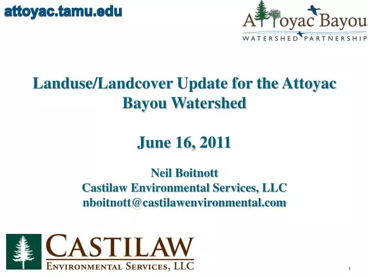
attoyac.tamu.edu. Landuse / Landcover Update for the Attoyac Bayou Watershed June 16, 2011. Neil Boitnott Castilaw Environmental Services, LLC nboitnott@castilawenvironmental.com. attoyac.tamu.edu. LULC Map. attoyac.tamu.edu. LULC Percentages. attoyac.tamu.edu. Methods.

E N D
attoyac.tamu.edu Landuse/Landcover Update for the Attoyac Bayou Watershed June 16, 2011 Neil Boitnott Castilaw Environmental Services, LLC nboitnott@castilawenvironmental.com
attoyac.tamu.edu LULC Map
attoyac.tamu.edu LULC Percentages
attoyac.tamu.edu Methods • ArcGIS 9.3 software was utilized for LULC mapping. • Started with watershed boundary with no LULC features. • Cut features by LULC class based on 2008-2009 leaf-off aerial photography. • Final product was entire watershed with over 12,000 individual LULC features.
attoyac.tamu.edu Methods Cont. Watershed Boundary With No LULC Features LULC Features Clipped from Watershed Boundary Clipping LULC Features within Watershed Boundary
attoyac.tamu.edu Accuracy Assessment • Total Average Accuracy = 86% • Accuracy by LULC Class: • Open Water – 100% • Developed (Open Space) – 100% • Developed (Low Intensity) – 76% • Developed (Medium Intensity) – 70% • Developed (High Intensity) – 100% • Barren Land – 82% • Forested Land – 100% • Pine Plantation – 90% • Mixed Forest – 67% • Near Riparian Forested Land – 70% • Rangeland – 100% • Managed Pasture – 86% • Cultivated Crops – 75%
attoyac.tamu.edu Accuracy Assessment Cont. • Field Assessment Methods • Upload GPS points from mapping software to mobile GPS unit. • Drive to GPS point in the field. • Record LULC type for GPS point and compare to mapped LULC.
attoyac.tamu.edu Accuracy Assessment Cont. Pine Plantation Managed Pasture Open Water Near Riparian Forested
attoyac.tamu.edu Accuracy Assessment Cont. • Office Accuracy Assessment • Primarily Used for Developed Classes • Methods: • Using ArcGIS software, place grid over developed area in question. • Count number of grid intersections occurring over developed surfaces vs. number of grid intersection occurring over undeveloped surfaces. • Get a total percentage of developed area and classify to appropriate LULC class
attoyac.tamu.edu Accuracy Assessment Cont. Developed area (Garrison) Classified. Developed area (Garrison) with Grid for Office Assessment.
attoyac.tamu.edu Any Questions? Neil Boitnott Castilaw Environmental Services, LLC nboitnott@castilawenvironmental.com