Download
1 / 26
260 likes | 265 Views
This study explores the land-based resources in the MBRS and identifies the potential threats they face. It examines the watershed management approach, watershed delineations, land cover themes, and agricultural activities. The study also highlights the need for further research and data collection to assess the environmental stress and develop intervention strategies.

E N D
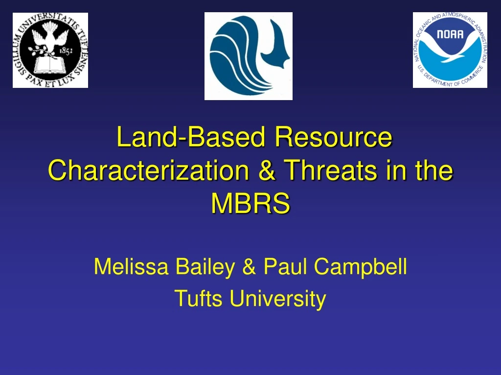
Land-Based Resource Characterization & Threats in the MBRS Melissa Bailey & Paul Campbell Tufts University
Watersheds “an area of land within which all waters flow to a single river system” ---Heathcote 1998 “the specific land area that drains water into a river system or other body of water” ---The World Bank
Features of a Typical Watershed Overland flow Groundwater flow Reef
Potential Stresses in Watershed Chemical Infiltration Fertilizers Excess Nutrients Pesticide Residues Soil Erosion Sewage Runoff
Integrated Watershed Management Action Point Socioeconomics Watershed water resources Water Users Water supply Supply- oriented measures Demand- oriented measures Water demand Watershed Ecosystem Action Point Principles & Practice Modified from Heathcote, Isobel. (1998). Integrated Watershed Management: Principles and Practice. p. 4.
Why “Transboundary”? • Watersheds do not “fit” into political boundaries or jurisdictions • Incompatible management of a resource that cannot be molded to our local, regional or national constructs
Watershed Delineations Quintana Roo (Mexico) Rio Hondo (Mexico-Belize)
Themes in Land Cover • Forest Covers: • Reduce runoff & stabilize soils • Improve infiltration and filtration of water • Ecological significance: habitat for interior species
Themes in Land Cover • Agriculture: • Can be environmentally sound or unsound • Ecological significance: variable--crop/farm practice
Themes in Land Cover • Wetlands & Mangroves: • Buffering of water contaminants and sediments • Reduce flooding • Ecological significance: nursery & breeding grounds
Themes in Land Cover • Urban Development: • Can concentrate & act as a sink for pollutants • Can increase flood potential • Increase erosion/sedimentation • Increase fragmentation of habitat
Rio Hondo • Mexico portion: • Coastal Aquaculture • Major crops: corn & sugar cane • Cattle Ranching • Belize portion: • Sugar cane • Livestock
Quintana Roo, Yucatan Peninsula • Most communities surveyed did not have major agricultural production • Cattle Ranching • Small amount of crop farming • Aquaculture
Overall, qualitative data show that chemical fertilizers (NPK and urea) and pesticides (in particular, Paraquat and 2,4-D) are common. The actually appropriateness and amount of fertilizer and pesticide applied would require a more rigorous survey of agriculture in region. Need to have more concrete information about what crops and farming practices that are common within each watershed. Agricultural Activities & Risk Potential
Vulnerability Analysis: Sedimentation RUNOFF model Land Cover Modified RUSLE Rainfall Slope Soil Porosity Input Institutional & Socioeconomic Factors With Relative Erosion Potential for a map of Areas of High Environmental Stress
Missing Elements for Sediment Model in the MBRS • Updated land cover • More specific agriculture information (e.g. type of crops, farm practice)
Next Step Model for the MBRS • Composite of potential stressors in each watershed = “maps” areas under most stress and in need of intervention What we need to complete this composite… • Opinion on how much each stressor should factor or “count” in the analysis • Better data on water quality, streamflow, infrastructure, sanitation