Download
1 / 16
160 likes | 316 Views
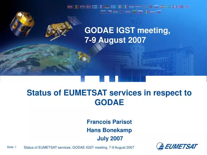
GODAE IGST meeting, 7-9 August 2007. Status of EUMETSAT services in respect to GODAE Francois Parisot Hans Bonekamp July 2007. METOP-A: Satellite and Instruments. GRAS. GOME-2. AVHRR-3. HIRS-4 Metop 1/2 only. IASI. ASCAT. AMSU-A1. MHS. AMSU-A2. METOP-A: Events.

E N D
GODAE IGST meeting, 7-9 August 2007 Status of EUMETSAT services in respect to GODAE Francois Parisot Hans Bonekamp July 2007
METOP-A: Satellite and Instruments GRAS GOME-2 AVHRR-3 HIRS-4 Metop 1/2 only IASI ASCAT AMSU-A1 MHS AMSU-A2
METOP-A: Events 19 October 2006: Successful METOP-A Launch. 22 October 2006: Orbit 42, formal transfer of METOP-A operations from ESA to EUMETSAT 28 March 2007: Joint EUMETSAT/ESA Satellite In Orbit Verification Phase Review. • 15 May 2007: Formally transfer of the EPS system and its services to the EUMETSAT Operation Department.
METOP-A: Level 1 Products Status WWW.EUMETSAT.INT Home > What We Do > Satellites > EUMETSAT Polar System > Metop-A Commissioning METOP-A Commissioning is still ongoing July 2007
ASCAT Level 2: Surface Vector Winds • 06 March 2007: • Start trial dissemination of the Ocean and Sea Ice Satellite Application Facility (OSI SAF) ASCAT wind product on 25km swath grid resolution. (Demonstrational status, but service as planned for operations.) • 19 June 2007: • ASCAT data operationally used by ECMWF. • 22 June 2007: • Winds Group in NOAA/ NESDIS: ASCAT winds became available to OPC forecasters
Ocean and Sea Ice Satellite Application Facility The OSI SAF is part of the EUMETSAT SAF Network. • The OSI-SAFroutinely produces and disseminates products characterising the ocean surface and the energy fluxes across the sea surface • The OSI-SAF Operationally produces information on the sea ice characteristics (extend, concentration, …) • Leading Entity is Météo-France in Lannion • The OSI SAFdistributes near real-time products based on e.g,MSG, METOP,NOAA, Seawinds, DMSP and GOES data • OSI SAF is in its Continued Development and Operation Phase (CDOP) since 1 February 2007. www.osi-saf.org
OSI-SAF: Status of Services • WWW.OSI-SAF.ORG
OSTM/JASON-2: Altimetry NOAA NASA/JPL NASA Elements NOAA Elements EUMETSAT Elements CNES Elements Jason 2 EUMETSAT – Usingen, Germany Operational product processing & Distribution NOAA - Wallops/ Fairbanks - USA Dedicated Delta II Launch Vehicle S/C Operations (Suitland, MD) EUMETSAT Science data processing, archive & Distribution CNES S/C Operations (Toulouse, France) Operational product processing and Science Data archive & Distribution NASA Instrument Ops
STATUS OSTM/JASON-2 WWW.EUMETSAT.INT Home > What We Do > Satellites > Jason • System Interfaces Review has been held in Toulouse in December 2006. • Services and Product Definitions are completed in March 2007. • Joint Announcement of Opportunity has been released in June 2007. Due date for proposals, 7 September 2007. • Spacecraft fully integrated in June 2007 • Environmental and performance test up until end of 2007 • Spacecraft preparation for launch site: Jan 21-Feb28, 2008. • Transportation and campaign: April 17-June15, 2008. • Launch: Planned for Mid-June 2008.
Jason-3 Concept today proposed by EUMETSAT (After extensive discussions with CNES and NOAA and other partners)
Jason-3 : Driving factors • Ensure continuity of data availability after Jason-2 • Answer to priority one to fulfil the Marine Core Services serving the needs of GMES downstream services • Continuity of a very successful partnership between the Europe and the US • Programme leaded by the operational agencies EUMETSAT and NOAA but relying on support and expertise from the research agencies CNES and NASA • Minimize risk and cost • Develop in parallel with all potential partners an extensive thought on the future altimetry system
Jason-3 : Main features • Maximum of recurrence between Jason-2 and Jason Follow-on • Almost identical responsibilities sharing between partners • CNES will be the system prime for the operational agencies EUMETSAT and NOAA
US Radiometer GPS receiver Laser retroreflector Launcher and launch services Ground segment elements Satellite operation in routine mode Near Real Time (3hrs) product processing and dissemination EUROPE Proteus Satellite bus Altimeter Doris receiver Satellite integration and test Ground segment elements Launch and Early Operation Phase and Initial Assessment phase operation Offline and Near Real Time product processing and dissemination Proposed Technical Partnership
Funding hypothesis • Funding shared between the US and Europe, no exchange of funds • Funding shared in Europe between research and operational agencies and the European commission • Overall estimated cost for development and 5 years of operations 250 M€ (all cost in e.c. 2007) • This figure has to be compared with the 300 M€ e.c. 2001 (336 M€ e.c. 2007) of Jason-2 • US part 100 M€ European part 150 M€ • Deviation from a 50% sharing between the US and Europe mainly due to anticipated decrease of launcher cost
Way Forward • EUMETSAT : Preparation at EUMETSAT of Preliminary Program proposal and Initiating Resolution to be submitted to Delegate Bodies fall 2007 • All partners : By mid 2008, confirmation by Partners of their commitment to finance the program • EUMETSAT : At the same time, Programme declaration and definition and Enabling resolution at EUMETSAT • From mid 2008 to mid 2009, subscription period at EUMETSAT • All partners : Mid 2009, the funding of Jason follow on programme should be formally approved by each of the partners and the related agreements signed • In addition, EUMETSAT plans to organize later this year or early 2008 a workshop, in the frame of the CEOS ocean surface topography constellation activity, with the objective to initiate and foster discussions regarding the user needs and possible ways to fulfil them after Jason-3
STATUS POST-EPS • Several Post-EPS Mission Experts Team (PMET) meetings were held in 2006 and 2007. • The Ocean Application Experts Group (AEG) Position Paper has been updated for the inclusion of tables of priorities of geophysical variables. In summary, the highest Post EPS priority ranking is set for Ocean Topography, Surface Winds and SST. Ocean Currents and Ocean Colour are lower ranked in priority. • The Initial version of the Post-EPS Mission Requirements Document (MRD) has been released. On the basis of the MRD, strong interactions between EUMETSAT and ESA for the start of Phase 0 studies are ongoing. • Some particularly relevant Post-EPS requirements: • Altimeter: MRD_ALT.090: The coverage requirement for the post-EPS ALT needs to be considered in conjunction with the availability of other operational altimetry missions in the post-EPS time frame. The general coverage requirement for ocean topography requires two altimeters, one in a nonsunsynchronous repeat orbit, with a repeat period in the 10 to 35 day range to maximise coverage over the non-frozen ocean, the other in a sun-synchronous orbit to achieve coverage over the poles. • Scatterometer: MRD_SCA.001: If a trade-off is necessary between swath width and horizontal resolution, the swath width shall have higher priority as long as the horizontal resolution is < 25 km (Breakthrough), < 50 km (Threshold).