Download
1 / 22
220 likes | 386 Views
ICGC Geomedia based data capture solution. Blanca Baella Head of the Development Unit Databases Area. Contents. What is the ICGC Geomedia based data capture solution? Why on Geomedia and ISSG? Why is it necessary a solution on top of the commercial software? System Architecture

E N D
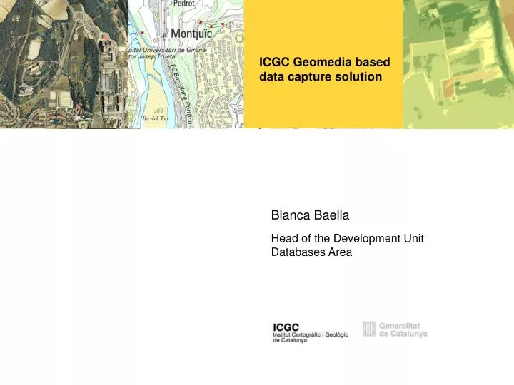
ICGC Geomedia baseddata capture solution Blanca Baella Head of the Development Unit Databases Area
Contents • What is the ICGC Geomedia based data capture solution? • Why on Geomedia and ISSG? • Why is it necessary a solution on top of the commercial software? • System Architecture • Efficiency in data capture • Quality by design • Summary ICGC Geomedia data capture application February 2014, Barcelona
ICGC Geomedia based data capture solution What is the ICGC Geomedia based data capture solution? ICGC Geomedia data capture application February 2014, Barcelona
What is the ICGC Geomedia based data capture solution? • The ICGC Geomedia based data capture solution is a 3D data complete production system • Taking Oracle Spatial as DBMS, Geomedia as base GIS and ISSG as photogrammetric software, the ICGC has developed and implemented a system efficient, accurate and adapted for 3D data capture ICGC Geomedia data capture application February 2014, Barcelona
What is the ICGC Geomedia based data capture solution? ICGC Geomedia data capture application February 2014, Barcelona
What is the ICGC Geomedia based data capture solution? ICGC Geomedia data capture application February 2014, Barcelona
What is the ICGC Geomedia based data capture solution? • Advantages of Geomedia and ISSG: • Geomedia has its own photogrammetric tool tight integration • Intergraph has a long tradition in photogrammetric systems • ICGC has a large experience using photogrammetric Intergraph products • Geomedia uses from the beginning native Oracle Spatial Why Geomedia and ISSG? ICGC Geomedia data capture application February 2014, Barcelona
What is the ICGC Geomedia based data capture solution? • The ICGC solution • extends the functionalities of Geomedia and ISSG • solves the 3D shortcommings of Geomedia and Oracle Spatial • reduces the element symbolization problems of ISSG • matches the tools and their behavior in both environments, the GIS and the photogrammetric environment • Integrates CAD efficiency into Geomedia + ISSG • Takes advantage of 30 years experience of ICGC developing and mapping teams Why is it necessary a solution on top of the commercial software? ICGC Geomedia data capture application February 2014, Barcelona
What is the ICGC Geomedia based data capture solution? The main reason for implementing the solution is for increasing the productivity ensuring accuracy and quality in data capture, but there is also three more significant reasons: Why is it necessary a solution on top of the commercial software? • implement the specific aspects of the ICGC data models • unique and persistent object identifier • life cycle information • metadata at object level • solve the 3D problems in the GIS environment • solve the vector visualization problems in the photogrammetric environment ICGC Geomedia data capture application February 2014, Barcelona
What is the ICGC Geomedia based data capture solution? • Central database on Oracle Enterprise DBMS, where data will be consolidated • Several disconnected photogrammetric data capture working places on Oracle Express System Architecture ICGC Geomedia data capture application February 2014, Barcelona
ICGC Geomedia based data capture solution Efficiency in data capture ICGC Geomedia data capture application February 2014, Barcelona
What is the ICGC Geomedia based data capture solution? • Reduce the number of operator “clicks” in each operation • Ensure the most ergonomic and complete visualization mode • Accept as inputs of the commands the keyboard and the mouse • Provide tools specifically designed for the data model • Management of the specific characteristics of the data model (unique and persistent identifier, life cycle, metadata) • Fix the GIS problems related to 3D • Ensure the same functionalities in the photogrammetric environment than in the standard one Main features: extended functionalities ICGC Geomedia data capture application February 2014, Barcelona
Efficiency in data capture • Related with feature catalogue • Only the authorized attribute combination & associated geometries of the feature classes are implemented • For each feature class, the most used geometry & attribute value are activated by default • A collection of auxiliary drawing geometries are associated to each feature class • The tools manage the unique & persistent ID and the life cycle information • The metadata at instance level are also managed by the tools • Includes specific tools for the association of the geographical names and its own identifier to the topographical elements Main features: add-on ICGC functionalities ICGC Geomedia data capture application February 2014, Barcelona
Efficiency in data capture • Related to Data base management • Specific tools for central data base extraction and returning with logging and historic capabilities • Production information management • Backup and recovery capabilities also for the disconnected environment Main features: add-on ICGC functionalities ICGC Geomedia data capture application February 2014, Barcelona
Efficiency in data capture • Related to data capture: • Geometric primitives not existing in GM, as curve, circle 3D and ellipse 3D • Auxiliary drawing geometries as orthogonal element, arc of ellipse and curve, stroking always as a polyline or polygon • Possibility to combine the different drawing geometries in the same element compilation • 2D/3D for snapping, modify, copy parallel, sharing geometry or sharing vertices • UNDO of the full result of the command or of one step of the command • Specific message fields for managing the command • … Main features: add-on ICGC functionalities ICGC Geomedia data capture applicationFebruary 2014, Barcelona
Efficiency in data capture • Related to data visualization: • Standard point symbology in the photogrammetric environment • Window tracking capabilities in the standard environment • Interaction between different views • Specially designed cursor glyphs • Auxiliary display geometries (halo) associated to the cursor for the visualization of minimum distances while drawing or editing • … Main features: add-on ICGC functionalities ICGC Geomedia data capture application February 2014, Barcelona
Efficiency in data capture • Related to usability • Command management and interaction using the keyboard and both type of mouse (standard and photogrammetric) • Specifically designed message fields informing the operator about the feature instance: class, attributes, perimeter, area • Information about feature instance moving around it without clicking the element • Specific coordinates field, including H, for showing and enter coordinate values using keyboard • … Main features: add-on ICGC functionalities ICGC Geomedia data capture application February 2014, Barcelona
ICGC Geomedia based data capture solution Quality by design ICGC Geomedia data capture application February 2014, Barcelona
Quality by design • Full control on feature catalogue: feature classes, authorized attribute combination, attributes domain, geometries, … • Tools designed for ensuring the minimum sizes and minimum distances between elements during data capture • Implementation of the 2D/3D drawing mode for snapping, copy parallel, sharing geometries and sharing vertices • Tools to force the isotonic or flatness characteristic of features • Automatic orthogonality inside a range close to 90º in drawing time • Off-line quality control processes for testing the topology constraints, the altimetric coherence between elements, … • … ICGC Geomedia data capture application February 2014, Barcelona
ICGC Geomedia based data capture solution Summary ICGC Geomedia data capture application February 2014, Barcelona
Summary ICGC Geomedia data capture application February 2014, Barcelona • ICGC Geomedia solution is an efficient, accurate and adapted application for 3D data capture • Based on native Oracle Spatial • Provide tools specifically designed for the data model • It extends the functionalities of Geomedia and solves 3D shortcommings • Ensure the most ergonomic and complete visualization mode and the same functionalities in the photogrammetric environment than in the standard one • Quality by design, assist the operators to produce accurate and coherent databases • Take advantage of 30 years experience of ICGC developing and mapping teams
Institut Cartogràfic i Geològicde Catalunya Parc de Montjuïc,E-08038 Barcelona 41º22’12” N, 2º09’20” E (ETRS89) Tel. (+34) 93 567 15 00Fax (+34) 93 567 15 67 http://www.icgc.catwebmaster@icgc.cat ICGC Geomedia data capture application February 2014, Barcelona