Download
1 / 9
90 likes | 230 Views
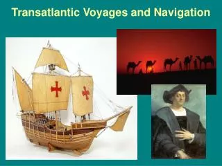
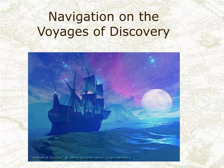
Navigation on the Voyages of Discovery. During the voyages of discovery sailors didn’t even have good maps to tell where they were going! Look at these old charts. They were not very accurate. No wonder ships often sailed off course!. Speed.

E N D
During the voyages of discovery sailors didn’t even have good maps to tell where they were going! Look at these old charts. They were not very accurate. No wonder ships often sailed off course!
Speed The speed of the ship was calculated by having one member of the crew throw a chip of wood over the side of the vessel. By judging how far the ship travelled before the object hit the water helped determine how fast the ship was moving. This technique was later changed by attaching a wooden float to a line - known as the "logline" - where knots were tied at measured intervals. When the wooden float was tossed overboard, the speed was calculated by counting the number of knots that slipped through the fingers of the sailor holding the logline. 1 knot = 1.15 miles per hour = 1.85 kilometers per hour
Compasses Most ships were equipped with a magnetic compass that was kept on deck and could be illuminated at night by means of a lamp burning olive oil. Although the compass was in wide use, most captains did not know why its needle pointed north. In fact, many captains preferred to keep the existence of a compass on board a ship secret because superstitious crew members would think that the ship was being guided by sinister forces. Some captains even believed that if their crew ate onions this would impact upon the magnetism.
The red arrow is pointing to the North Star, which is also known as Polaris. Stars and other constellations helped sailors to figure out their position.
So what is latitude, and why was it important to sailors? Lines of latitude are imaginary lines running east to west on the Earth’s surface. 90 degrees 0 degrees 90 degrees Having latitude lines was a big help for sailors because they could tell how far north or south their ship was, but the tools they had were not always accurate.
Quadrant This is a quadrant. A sailor would see the North Star along one edge, and where the string fell would tell approximately the ship’s latitude.
Astrolabe A sailor could also use this astrolabe. Holding the astrolabe to his eye and sighting along its diameter, the sailor could read the height of the North Star on the scale. If, for example, the star measured forty degrees above the horizon, the sailor would know that he was at a latitude of approximately forty degrees north. If the star measured thirty degrees above the horizon, the sailor would know that he was at approximately thirty degrees north, and so on.
http://www.bbc.co.uk/history/british/empire_seapower/launch_ani_navigation.shtmlhttp://www.bbc.co.uk/history/british/empire_seapower/launch_ani_navigation.shtml