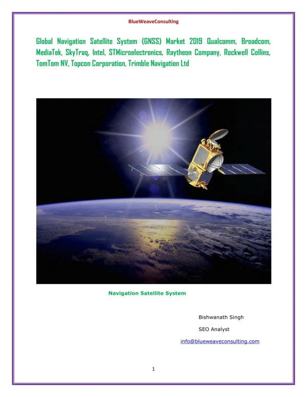
Download
1 / 25
640 likes | 1.76k Views
Global Navigation Satellite System (GNSS). GPS Concepts June 21, 2013 . 3 Main Segments to any GNSS. 1- Satellite/Space Segment. 3- User Segment. 2- Control Segment. Ground Antennas. Master Station. Monitor Stations. GPS – Global Positioning System.

E N D
Global Navigation Satellite System (GNSS) GPS Concepts June 21, 2013
3 Main Segments to any GNSS 1- Satellite/Space Segment 3- User Segment 2- Control Segment GroundAntennas Master Station Monitor Stations
GPS – Global Positioning System The US developed and operated NAVSTAR Global Positioning System (GPS) was the first Global Navigation Satellite System (GNSS). GPS provides specially coded satellite signals that can be processed in a GPS receiver to compute Position, Velocity and Time. First satellite launched in 1978. Full constellation achieved in 1994.
Basic Functions of GPS Position and coordinates (latitude, longitude, altitude) Direction of travel between any two points. Travel velocity Accurate time of the day
Space Segment • 6 orbital planes (with 4 to 5 Satellites in each) equally spaced. GPS Operational Constellation consists of 24 + satellites orbiting at a height of 20,000 KM(Medium Earth Orbit) Constellation has spares • 4 to 8 active Satellites visible from any point on the earth. • GPS Satellites send Radio Signals. • Every satellite orbits the Earth twice daily (one revolution in approx 12 hrs)
Control Segment • 5 Monitor stations • Track GPS signals and send them to master control station • 1 Master Control Station located at Falcon AFB (air force base) Colorado • Correct orbit and clock errors • Create new navigation messages • Ground Antenna (upload station) • 4 ground antennas
Control Segment Master Control Station Monitor Station Ground Antenna US Space Command Cape Canaveral Hawaii Kwajalein Atoll Diego Garcia Ascension Island
User Segment Consists of GPS receivers and user community. GPS receivers convert Radio Signals into Position, Velocity, and Time estimates. 3 satellites are required to compute Position (X, Y, Z) . 4th satellite is used to recalibrate receiver clock (Time). Navigation in three dimensions is the primary function of GPS.
GPS Signal Pseudo-Random Codes and Carriers Frequencies • Each satellite has a unique pseudo-random code which helps for determining time difference (Travel Time) by comparing how late the satellite's pseudo-random code appears compared to our receiver's code. There are two types of pseudo-random codes: • The C/A (Coarse Acquisition) code for timing for civilian GPS users and the status message are modulated on L1 frequency (1575.42 MHz). • The more precise and complicated pseudo-random code (P-code) for military users is modulated on L1 and L2 (1227.60 MHz) frequencies. After encryption, it is called Y-code. Navigation Message Ephemeris data including information about the satellite's orbits, their clock corrections and other system status.
Range Distance GPS positioning based on Range Distance or Range This is the distance between a satellite in space and a receiver on or above the Earth’s surface Range distance is calculated as follows: Range = speed of light * Travel time Coded signals are used to calculate signal travel time by matching sections of the code Difference between transmission and reception times is the travel time A range measurement from a single satellite restricts the receiver to a location somewhere on the surface of a sphere centered on the satellite
How GPS Works? The measurement principle of GPS is based on 3D Trilateration (A mathematical method of determining the relative positions of objects using the geometry of triangles) from Satellites To triangulate (loosely speaking), a GPS receiver measures distance using the travel time of radio signals coming from GPS Satellites. To measure travel time, GPS needs very accurate timing
Fig B Fig A Position Calculation - Trilateration • Surfaces of two spheres intersect at a circle (Fig A) • Intersection of third sphere with the first two will intersect that circle at two points (Fig B) • For GPS carriers near Earth surface the position will be at the intersecting point closest to the Earth
Fourth Satellite Positioning and Correcting the GPS Clock • Correct position can also be determined by fourth intersecting sphere • Four satellites are usually required to reduce receiver clock errors (recalibrate) • Correcting Clock Bias • It's geometrically impossible for four mutually intersecting spheres to merge at the same point unless the clock is spot on • A simple routine is run by receiver to adjust or reset its clock so that all four lines of position intersect the same point
4th satellite range is required for confirmatory test as well as Time.
GPS Error Sources 1. Atmospheric delays - The satellite signal slows down as it passes through the atmosphere. The GPS system uses a built-in model that calculates an average amount of delay to partially correct for this type of error. 2. Signal multi-path- This occurs when the GPS signal is reflected off objects before it reaches the receiver. This increases the travel time of the signal, thereby causing errors. 3. Receiver clock errors- A receiver's built-in clock is not as accurate as the atomic clocks onboard the GPS satellites. Therefore, it may have very slight timing errors. 4. Orbital errors - Also known as ephemeris errors, these are inaccuracies of the satellite's reported location. 5. Number of satellites visible- The more satellites a GPS receiver can "see," the better the accuracy. Buildings, terrain, electronic interference, or sometimes even dense foliage can block signal reception, causing position errors or possibly no position reading at all. GPS units typically will not work indoors, underwater or underground. 6. Satellite geometry/shading- This refers to the relative position of the satellites at any given time. Ideal satellite geometry exists when the satellites are located at wide angles relative to each other. Poor geometry results when the satellites are located in a line or in a tight grouping. 7. Intentional degradation of the satellite signal- Selective Availability (SA) is an intentional degradation of the signal once imposed by the U.S. Department of Defense. SA was intended to prevent military adversaries from using the highly accurate GPS signals. The government turned off SA in May 2000, which significantly improved the accuracy of civilian GPS receivers.
Differential GPS We discussed position measurements collected with a single receivers known as autonomous GNSS positioning Differential GPS involves the cooperation of two receivers: Stationary (with known coordinate points) Rover Rover (Un-known Position) Stationary (Known Position) • When two receivers are fairly close to each other, the signals that reach both of them will have traveled through virtually the same slice of atmosphere, and will have similar type/amount of errors, and: • Differential GPS can eliminate all errors that are common to both. • These include everything except multi-path errors and any receiver errors.
Wide Area Augmentation System (WAAS) • Based on a network of ground reference stations scattered about North America (works only with NAVSTAR GPS) • To provide accurate, dependable aircraft navigation. • To provide real-time accuracies to reduce individual errors less than 7 meters (tests shows errors less than 7 meters 95% of the time) • Signals from satellites received at each station and errors calculated • Correction calculated and transmitted to a geo-stationary satellite. • Correction signals collected by WAAS compatible roving receivers. • Substantial improvement over uncorrected GPS (errors above 15 meters)
GNSS Augmentation Country Augmentation Abbreviation USA: Wide Area Augmentation System WAAS Europe: European Global Navigation Overlay System EGNOS Japan: MTSAT Satellite Based Augmentation System MSAS Canada: Canadian Wide Area Augmentation System CWAAS China: Chinese Sat. Navigation & Augmentation Service SNAS Indian: GPS and Geo Augmented Navigation System GAGAN
GPS Jamming Devices Range: Few meters to 200 Km Source: http://www.ac11.org/gps1.htm
GNSS - Worldwide - United States NAVSTAR Global Positioning System (GPS) has been the only fully operational GNSStill recently - GLONASS: In October 2011, the full orbital constellation of 24 satellites was restored, enabling full global coverage
GPS Uses/Applications • Search and rescue • Disaster relief • Surveying and Mapping • Geographic Information Systems (GIS) • Marine, aeronautical and terrestrial navigation • Remote controlled vehicle and robot guidance • Satellite positioning and tracking • Shipping • Military • Recreation
References • Lecture notes of Paul Burgess, University of Redlands, Redlands Institute. “Introduction to GPS” • http://www.spacetoday.org/Satellites/GPS.html • http://www.astronautix.com/project/navstar.htm • http://en.wikipedia.org/wiki/Global_Positioning_System

![GNSS, satellite navigation shows the way [The ISSUE Conference 2014]](https://cdn1.slideserve.com/1612370/gnss-satellite-navigation-shows-the-way-the-issue-conference-2014-dt.jpg)