Download
1 / 5
50 likes | 153 Views
Fun Maps USA was created out of necessity in the spring of 1980. My children’s’ television show, Captain SeaTac, had just been cancelled and I had to scramble to reinvent myself. I knew that I could draw, write, and sell… and I loved to travel. So I decided to become a cartoon cartographer. That was about 60 maps ago.<br>

E N D
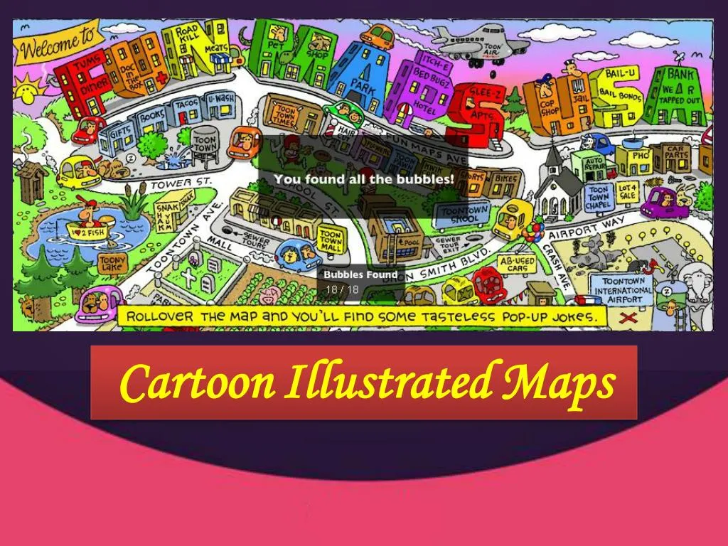
Cartoon Illustrated Maps Cartoon Illustrated Maps
Fun Maps USA Fun Maps USA Fun Maps USA was created out of necessity in the spring of 1980. My children’s’ television show, Captain SeaTac, had just been cancelled and I had to scramble to reinvent myself. I knew that I could draw, write, and sell… and I loved to travel. So I decided to become a cartoon cartographer. That was about 60 maps ago. I started by creating a cartoon map of my own neighborhood, South Hill, Puyallup, here in Washington State. Then I began to expand into ever distant areas. I have traveled as far as the California border on the Oregon Coast, creating two cartoon maps of the Oregon Coast. As a result of the publicity generated through the Internet, I am now creating cartoon maps for cities, towns and counties all across America. If you would like a cartoon map of your area, please contact me and maybe YOUR town can be next!
Business Opportunity Business Opportunity We are always looking for enthusiastic, self motivated people who are tired of the punch-in, punch-out rat race. If that sounds like you, and you have experience in selling, we have an opportunity for you to consider. Every town, city, or county around you is a potential map project. There are thousands of dollars waiting to be “mined” all around you. I should know…I’ve done it here in the Northwest for many years. We have produced literally dozens of cartoon maps of towns, cities, counties, coastlines, and islands in the Pacific Northwest. But now we’re looking toward expansion. And that’s where YOU might come in. There are a lot of advantages to working with us. First of all, you can live almost anywhere and work with us on a cartoon map project. If you like running your own schedule, selling ads on our maps allows you the freedom to pick and choose the hours that suit you best. We know of one sales rep that sells in the morning, and plays golf in the afternoon. Does that sound like a great way to make a living? Fun map ads sell easily in the biggest cities and smallest towns. Every map project that I’ve started, I’ve finished. The evidence is on the maps page. You won’t see a single public service filler ad on the page. That’s because our map ad spaces have always sold out. They’re as close to “bombproof” as any product that I’ve seen. On almost every map that I’ve sold, merchants will invariably say: “What a fun job you have!” I agree. It IS fun, and I could go on for hours telling you all the people I’ve met and exciting experiences I’ve had in Mapland. One ranch family in the Oregon high desert asked me to stay overnight with them. I had dinner with them that night, and I was out in the barn with Jim until after midnight that night helping him feed the calves and listening to stories about ranch life.
Adventures in Mapland Adventures in Mapland The Shi Shi Beach Adventure Some of the world’s most impressive sea stacks are to be found here, especially at Point of Arches. You can spend all day here exploring the tide pools. They extend for miles. You need to be at Point of Arches on low tide. The Mima Mounds Adventure One of the world's great geological mysteries, Mima Mounds are scattered throughout central Thurston County. There are about 30 different theories as to their origin, but no one knows for sure what caused these unique geological formations. About eight feet high and 30 feet across, the Mima Mound prairies host rare wildflowers, birds, and butterflies that only use this habitat. The Mt. St. Helens Adventure John R. Jackson was one of Washingtons's first settlers. You'll find his cabin on Jackson Highway, just south of Highway 12 (see St. Helens Map). The Jackson cabin became a stopping point for early settlers traveling north to what is today Tumwater, Washington. His cabin later became Washington's first courthouse.
For more information please visit For more information please visit http http://www.funmapsusa.net ://www.funmapsusa.net