Download
1 / 7
70 likes | 158 Views
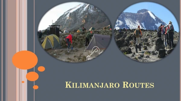
PRIORITY ROUTES. Learn more about this Initiative. What is the Priority Route Concept?. Priority routes will become a network of roads dispersed throughout the Municipality that will provide improved direct access to paved provincial highways and graveled provincial roads

E N D
PRIORITY ROUTES Learn more about this Initiative
What is the Priority Route Concept? • Priority routes will become a network of roads dispersed throughout the Municipality that will provide improved direct access to paved provincial highways and graveled provincial roads • The rule of thumb is that the majority of residences in the Municipality will be within 2 miles of a Priority Route or the Provincial Highway/Road system
What Benefits will be realized? • Utilizing the Priority route network will generally improve vehicle drive for residents in daily life activity • Improved access and response times for emergency vehicles • Improve the aesthetic of the road side and safety of travel
What are the physical changes to a Priority Route? • Road beds are being re-shaped, reducing the severity of side slopes and bringing road widths to the Municipal standard of 24 foot width consistent with recognized engineered standards • Minor alignment improvements occur • Crown of the road is corrected to improve drainage off the travel lanes of the road • Dust abatement is continuous for the full mile improving visibility and safety • Traffic signage is improved to a high intensity prismatic that increases night time visibility of signage
Where are the Priority Routes? • An attached map shows the designated roads which will eventually be converted to Priority Routes • The Priority Route Initiative is a multi year program each year a number of miles will be converted over to Priority Routes • It is expected that the Priority Route Network will be completed in approximately a 10 year period • The Priority Route program has start in 2012 with 6 miles being converted • This includes : • Station Rd. from end of pavement in Lorette to PTH #1 • Prefontaine Rd. from PTH #59 to Mun 23E • River Rd. from Poirier Rd. to McDougall Rd. • A test portion was also completed in 2011 being Arena Rd. from Landmark to Mun 30E
Items to Note • Watch for new designated signage on converted roads • This signage will be indicative of enhanced future maintenance which will include priority snow clearing during winter months, increased gravel application during spring road conditioning and dust abatement application for the completed miles converted to Priority Routes • After the initial reconstruction it will take a period one to two years for the road bed to mature and become seasoned. It is at this stage where the full benefits of the reconstruction will be evident.