Download
1 / 28
280 likes | 385 Views
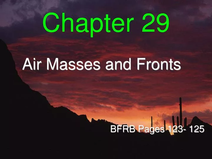
Chapter 29. Air Masses and Fronts. BFRB Pages 123- 125. Air Masses. Large areas (blobs) of the troposphere that have approximately the same weather, temperatures and humidity Air Mass Types - Named for where they develop over and come FROM

E N D
Chapter 29 Air Masses and Fronts BFRB Pages 123- 125
Air Masses • Large areas (blobs) of the troposphere that have approximately the same weather, temperatures and humidity • Air Mass Types - Named for where they develop over and come FROM • Weather changes occur with changes in air masses
TYPES of Air Masses • maritime Tropical (mT)- warm & humid air • continental Tropical (cT)- hot (warm) & dry air • maritime Polar (mP)- cold & humid air • continental Polar (cP)- cold & dry air • continental Arctic (cA)- very cold & dry air • THESE ARE ALL LISTED IN THE ESRT’s ON PAGE 13 ON THE BOTTOM! • There are no mA air masses – WHY???
Fronts • boundary between two air masses • bring changes in the weather (from west to east) • VIF!!!! - Fronts are named for the air that is behind them • The 4 types of fronts and their symbols are listed in the ESRT’s on Page 13 on the bottom
WARM AIR MASS COLD AIR MASS
Air Mass Army Analogy • Think of air masses as an army front (the army is BEHIND the frontline) • At the Front there is FIGHTING and lots of VIOLENCE (stormy weather) • Behind the front (inside the air mass) the general sits on his duff and watches the goings-on while enjoying the nice weather!
NICE WEATHER FIGHTING - STORMS
Cold Front • Cold dense air pushes warm less dense air up and out of the way • Cold fronts usually move very quickly and bring short periods of showers/thunderstorms • Lower temperatures are behind the front • SYMBOL – the direction of the “arrows” points towards the direction the front is MOVING
Cross Sectional View Overhead View on Map
Cross Section View – Why does the cold air mass stay near the ground and lift the warm air mass up?
Warm Front • Warm air moves up and over the cold front as it slowly displaces the cold air • Warm fronts move slowly, and bring many days of steady precipitation • Higher temperatures are behind the front • SYMBOL – direction of “semi-circles” is the direction the front is moving
Cross Sectional View Overhead View on Map
Cross Section View – Why does the warm air mass slowly override the cold mass cause long periods of rain?
Stationary Front • The air from the warm front and cold front meet, but do not move • These fronts have similar weather conditions as warm fronts • SYMBOL – warm and cold fronts are moving in opposite directions, thus making a stationary condition
Cross Section View – look at the spread out, horizontal stratus clouds
Occluded Front • Cold air catches up to and overtakes a warm front (often squeezing it between another cold front) • May produce precipitation for many days • SYMBOL – cold and warm fronts “mix” hence the purple color - the “bumps” are also on the SAME SIDE OF THE LINE (sometimes just a mix of red & blue symbols)
Cross Sectional View Overhead View On Map
This is the jet stream. It moves from West to East in the US and dictates what our weather will be. What kind of air is being brought to NY right now?
LAKE EFFECT SNOW • Great Lakes Region – NYS • cP air mass passes over the warmer & more humid lake air causing it to rise rapidly and form into cumulonimbus clouds • HEAVY snowfall occurs rapidly • Western NYS is known as the SNOW CAPITAL of the USA!