Download
1 / 32
320 likes | 521 Views
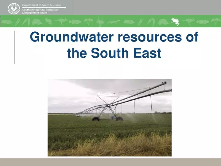
Groundwater resources of the South East. South East groundwater resource. South East groundwater resource. South East groundwater resource. Two main aquifers in the South East: Unconfined Tertiary limestone (upper) aquifer Confined Tertiary sand (lower) aquifer

E N D
South East groundwaterresource • Two main aquifers in the South East: • Unconfined Tertiary limestone (upper) aquifer • Confined Tertiary sand (lower) aquifer • Separated by Tertiary clay layers (aquitard)
South East groundwaterresource • Red lines = water table contours (metres above sea level) • Black lines = groundwater flow direction in the unconfined aquifer • Direction of groundwater flow in the confined aquifer is similar to that of the unconfined aquifer
How is water used in the South East? • Area of irrigated activity by method, South East Catchment region, 2003/04 • Total area = 79,118 ha • Area of irrigated activity by crop, South East Catchment region, 2003/04 • Total area = 79,118 ha • (Econsearch,2006)
How is water used in the South East? • Estimated water pumped by crop, South East Catchment region, 2003/04 • Total volume pumped (95% from unconfined aquifer)= 459,007 ML • Gross value of production of irrigated activity, South East Catchment region, 2003/04 • Total GVP = $324.6 million • (Econsearch,2006)
Water Regulation Philosophy – NRM Act 2004 Principle of Ecologically Sustainable Development • Recognises and protects the intrinsic values of natural resources • Sustaining the potential of natural resources to meet the reasonably foreseeable needs of future generations
South East groundwaterresource • PAV. Permissible Annual Volume, defined as “the volume of water that can be sustainably used or assigned from the unconfined aquifer on an annual basis, in a particular management area.” • Existing PAV (Report DWLBC 2006/02) = 814,537 ML • Total taking allocations (unconfined) at 30/06/07 = • 533,512 ML • Total volume pumped in the South East NRM region (2006/07) = • 310,954 ML (unconfined) • 18,366 ML (confined)
Terminology Prescription WAP Aquifer Triggers • Precautionary principle • Volumetric conversion • GDE • NRM
A legal document setting out the rules for allocation, use and transfer of water from a prescribed water resource Prepared by the NRM Board in each region Adopted by the Minister for Environment and Conservation Administered by Department for Water (DfW) What is a Water Allocation Plan (WAP)?
Principles for WAPs Best available science and information Active involvement of community and stakeholders Understanding of demands on water resource Appreciating needs of different sectors Community ownership of policy Regard for state and national policy directions
How is a Water Allocation Plan developed? Concept Statement Board and DfW develop options to address issues in the Concept Statement. Papers for Community Comment. Community consultation on the preparation of the Draft Water Allocation Plan (A1) Board develops draft Water Allocation Plans in collaboration with special interest groups, the Lower Limestone Coast Reference Group and DfW Community consultation on the contents of the Draft Water Allocation Plan (A2)
Development cont. How is a Water Allocation Plan developed? Board continues to develop draft Water Allocation Plans taking into consideration submissions and feedback from A2 Consultation DfW review of plan under preparation B consultation on the Plan as drafted Revision for minor amendments and Plan approval by Minister
At least every 5 years and considers: Trends in Water Resources New Science New Policy New Law Changes in societal views and values Review of Water Allocation Plans
Who’s who in water planning and management? Board Sub-Committees South East Natural Resources Management Board Border Groundwater Agreement Review Committee Minister for Environment & Conservation Department for Water South Eastern Water Conservation and Drainage Board Upper South East Dryland Salinity and Flood Management Board
Who does a Water Allocation Plan relate to? Licensed Water Users Irrigators and forest industry Industrial Public Water Supply Recreational • Water Affecting Activities • Well Drilling • Dams • Forestry • Environmental Water Needs • Stock and Domestic
Why develop a water allocation plan? To protect the natural assets dependent on groundwater resources. To ensure the long term viability of industry and stock and domestic use. To provide for equity in rights and consumption of the water resource. To ensure resource sustainability for the long term future of our region.
Public consultation Written submissions Information sessions One on one Request presentations Check www.senrm.sa.gov.au Use nrmSpace How Can You be Involved in Water Planning?
The really important message….. A WAP sets out policy to manage a resource that science tells us will become increasingly scarce, in a way that allows for continued regional growth, protection of our water and does not come at the expense of our other natural assets. All for the benefit of our children's children.
Volumetric allocations • Area-based (HaIE) allocations to be converted to Volume-based (Megalitre) allocations • Conversion factor used to alter allocations • A number of areas in the South East have, in the past, been over-allocated • As a result, irrigators in some areas will have their allocations reduced
Annual Water Use Return Forms • All licensed water use MUST be metered. Failure to do so may incur penalties in accordance with the NRM Act 2004. • Administered by Department for Water • AWUR forms require: • Provision of water use figures for the preceding financial year (calculated from meter readings) • Provision of salinity readings if carried out by landholder
Irrigation Benchmarking • DfW’s Irrigation Benchmarking project is looking at 13 trial sites throughout the South East. Investigations include: • Monthly sampling for soil water and drainage water • Piezometer readings for aquifer depth, salinity etc. • Bi-monthly Sonde readings to look at aquifer salinity stratigraphy • Soil sampling and analysis pre-Irrigation season • Post-Irrigation season soil sampling and analysis • A number of centre pivot catch can tests
Irrigation Benchmarking • Requirement to: • present and discuss results of investigations, including: • water and salt balances for the trial sites • nitrate leaching under irrigation and its impact on the groundwater resources. • have community input into development of the best practice management guidelines which are to address/minimise impacts to groundwater resources and increase efficiency of irrigation enterprises.
Automatic Weather Stations (AWS) • Regional AWS network established • Recorded data useful when determining irrigation scheduling • AWS located at Tintinara airstrip, as part of an Innovation Grants project
Acknowledgements • The South East Natural Resources Management Board gratefully acknowledges the following information providers: • Rural Solutions SA – Irrigated Crop Management Service • Department for Environment, Water and Natural Resources