Download
1 / 31
310 likes | 455 Views
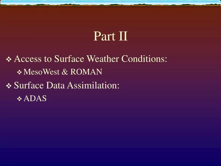
Part II. Access to Surface Weather Conditions: MesoWest & ROMAN Surface Data Assimilation: ADAS. MesoWest and ROMAN (Real-time Observation Monitor and Analysis Network) MesoWest/ROMAN Development Team: John Horel Mike Splitt Judy Pechmann Brian Olsen http://www.met.utah.edu/mesowest

E N D
Part II • Access to Surface Weather Conditions: • MesoWest & ROMAN • Surface Data Assimilation: • ADAS
MesoWest and ROMAN (Real-time Observation Monitor and Analysis Network) MesoWest/ROMAN Development Team: John Horel Mike Splitt Judy Pechmann Brian Olsen http://www.met.utah.edu/mesowest http://www.met.utah.edu/roman mesowest@met.utah.edu
http://www.met.utah.edu/mesowest Horel et al. 2002: Bull Amer. Meteor. Soc. • Real-time collection of weather observations from over 5000 stations and 120 participating organizations • Data processing, QC, and graphics generation every 15 min • Observations in areas not sampled by NWS/FAA or RAWS networks • Improved analysis/diagnosis of local and regional wind systems • Specialized interfaces for fire weather, RWIS, wind power applications • Distributed to WFOs by LDM MesoWest
ROMAN Geographic Area Coordination Centers • Software developed at CIRP to assist entire fire weather community, including NWS forecasters at WFOs and IMETs, to obtain access to current surface weather information • Support for development of ROMAN from NWS through CIRP base funding and from fire agencies in support of NIFC and GACC meteorologists • Builds upon MesoWest database to store and display observations nationwide • Tools designed for fire weather applications can be used for many other purposes
MesoWest/ROMAN • Designed for quick access to data from variety of networks • Tabular and graphical formats geared to operational fire weather needs • Structured by • GACCs • NWS CWAs • NWS Fire Weather Zones • States • Intuitive, easily navigable interface • Clickable maps • Station Weather • Weather Summary • Trend Monitor • Weather Monitor • 5 Day Temp/RH Summary • Precip Summary/Monitor • Weather Near Fires • Search by zip code, geographic location
Web Server Boise WFO/ NIFC Fire Wx User Community Dedicated Comms Plan for 2004 Fire Season RAWS RAWS CIRP Data Sources LDM AWIPS/ FX-NET/ GFE
Local Data Assimilation: ADAS • Utah ARPS Data Assimilation System (ADAS) • Mesoscale analyses require different assimilation techniques than those on a national scale, especially in complex terrain • Local analysis serves as a visual and numerical integrator of the MesoWest surface observations • Background and terrain fields help to build spatial & temporal consistency in the surface fields • Analyses serve as an additional quality control step to the MesoWest observations
What is ADAS? • ADAS is short for the Advanced Regional Prediction System (ARPS) Data Assimilation System (Xue et al. 2000, 2001a,b) • At CIRP, ADAS is run in near-real time to create analyses of meteorological variables over the complex topography of the western U. S. • 10km analysis every 15 minutes; 2.5 km analysis once per hour • ADAS employs the Bratseth method of successive corrections (Bratseth 1986) to complete the objective analysis • The 20km Rapid Update Cycle (RUC; Benjamin et al. 2002) is used for the background field • ADAS can be used for nowcasting and as a verification tool by National Weather Forecast offices
Use of MesoWest in Data Analysis • Integration of weather resources into single analysis product • Many local data sources are not used in national-scale data assimilation systems • Local analysis graphics serve as a visual integrator of the MesoWest surface observations • Weather over complex terrain of Intermountain West depicted more accurately
Tax Day Storm: April 15, 2002 Maximum Temperature: Monday. April 15. 2002
Maximum Sustained Wind Speed (mph) Tax Day Storm: April 15, 2002 Bagley. Salt Lake Tribune
Depends on: the application Initializing numerical forecast? Specifying atmospheric state for verification? the dominant scales of motion data spacing Mesonet observations Radar/satellite observations available computational resources Successive corrections, OI, 3/4-D Var See Kalnay (2003) and Lazarus et al. (2002) for more details What is a Good Analysis?
Data Analysis Analysis value = Background value + observation Correction • A good analysis requires a good background field • Background fields are supplied by a model forecast • - A good analysis requires a good previous model forecast • - Observation correction depends upon weighted differences between observations & background values at observation locations • Weights typically depend upon: • distance of observations from analysis grid point • Expected error of observations • Expected error of background field
Background field provides Information where few observations Avoids extrapolation far from observations Provides detail between observations Introduces dynamical consistency Typical errors of observations and background field are considered Data used in analysis are not limited to analysis/ forecast variables Knowledge of atmospheric behavior can be used to relate 1 variable to another Scales of motion too small to be resolved by forecast model can be removed An analysis is more than spatial interpolation
Data Assimilation in Complex Terrain Data Assimilation in complex terrain must be able to handle a wide range of scale interactions: Strongly forced Weakly forced Elevated Valley Inversions ? O ? O ? O O O O z T
Key Points • High resolution analysis based upon coarse background field and sparse data is simply downscaling to specified grid terrain • High resolution analysis adds value IFF: • high resolution data sources are available • OR the background field is at high resolution • Spatial scales specified by weighting functions determine degree to which observed local weather variations can be resolved by the analysis
Part II: Summary • MesoWest/ROMAN/ADAS under development for use by weather professionals • Government server with 24/7 support by next summer • Tools can be adjusted to meet needs for office and field use • Feedback: mesowest@met.utah.edu
Mini-Lab • Goal- increase familiarity with MesoWest/ROMAN/ADAS tools • Evaluate and apply tools to your CWA • What observations do you have access to at your WFO that are not available in MesoWest/ROMAN?