Download
1 / 25
620 likes | 990 Views
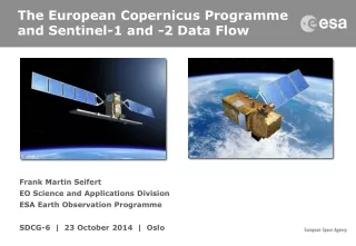
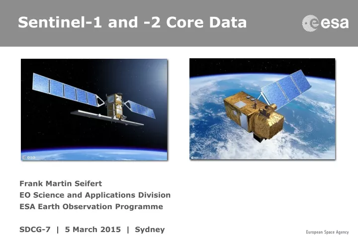
Sentinel-1 and -2 Core Data. F rank Martin Seifert EO Science and Applications Division ESA Earth Observation Programme SDCG-7 | 5 March 2015 | Sydney. Sentinel-1 Mission. C-band SAR imaging mission in continuation of ERS and Envisat 7 years design life time with consumables for 12 years

E N D
Sentinel-1 and -2 Core Data Frank Martin Seifert EO Science and Applications DivisionESA Earth Observation ProgrammeSDCG-7 | 5 March 2015 | Sydney
Sentinel-1 Mission • C-band SAR imaging mission in continuation of ERS and Envisat • 7 years design life time with consumables for 12 years • 12 days repeat cycle (1 satellite), 6 days for the 2 satellite constellation • Up to 25 minutes duty cycle in any of the image modes • 4 mutually exclusive SAR modes with different resolution and coverage • Main modes of operations: • IW over land and coastal waters (normally VV or VV/VH polarization) • EW over extended sea (VV or VV/VH) and sea-ice (HH or HH/HV) areas • WV over open oceans
Copernicus Sentinel Data Policy Sentinel Data Policy = FREE and OPEN access Copernicus Sentinel Data Policy • Joint COM/ESA Sentinel Data Policy Principles have been prepared in 2009 - adopted by ESA MSs in Sep 2009 • EU Delegated Act on Copernicus Data and Information Policy has been adopted in 2013 (C(2013)4311, final) • ESA got approval of updated Sentinel Data Policy from its Member Statesin Sep 2013. Main principles of Sentinel data policy: • Open access to Sentinel data by anybody and for any use • Free of charge data licenses • Restrictions possible due to technical limitations or security constraints
Sentinel Data Access Sentinel-1A Data Flow Open to all users since 3rd October at: sentinel.esa.int
Sentinel-1 data available! • Max 2 concurrent downloads • Currently 2 months rolling archive Sentinel-1A Data Flow Open to all userssince 3rd October at:https://scihub.esa.int
Sentinel-1 for GFOI Several GFOI priority areas have been acquired during the Sentinel-1 ramp-up phase (overall / dual-pol scenes): • Colombia: 521 / 21 • Ecuador: 236 / 0 • Peru: 574 / 5 • Tanzania: 452 / 61 • Kenya: 269 / 34 • Uganda: 211 / 30 • Cameroon: 19 / 11 • DRC: 198 / 36 • Cambodia: 44 / 30 • Viet-Nam: 253 / 99 • Sumatra: 379 / 150
Colombia: 521 VV 21 VV/VH Sentinel-1 over Colombia
Kenya: 269 VV 34 VV/VH Sentinel-1 over Kenya
Cambodia: 44 VV 30 VV/VH Vietnam: 253 VV 99 VV/HV Sentinel-1 over Kenya
Australia: yyy VV yy VV/VH Sentinel-1 over Australia
Australia: Sentinel-1 Cycle 42
Australia: Sentinel-1 Cycle 42
Sentinel-1 - in the full operational configuration of two satellites - will be a workhorse for forest monitoring: • with high repetition rates and independence from cloud coverage toprovide early warning on forest disturbances; • in synergy with optical sensors to ensure monitoring of heavily cloud covered areas; • with frequent coverage to estimate biomass in low carbon forests (e.g. in the boreal zone); • Sentinel-1A data are available since 3 October 2014 on a rolling archive at https://scihub.esa.int • The Routine Operations Readiness Review (RORR) is planned for April/May 2015. Sentinel-1 http://sentinel.esa.int
Input to R&D priority topics inter-operability, forest degradation and biomass estimation Spot-5 / Take-5 Experiment Spot-5 will deorbit from April to August 2015: • CNES and ESA have decided to repeat the Take5 R&D activity of Spot 4 with the Spot 5 satellite to put it in a 5-days repeat mode, similar to Sentinel-2A/B; • the experiment covers a larger part of the vegetation period in the Northern hemisphere; • have an improved data quality, with a variety of modes wrt Spot4/Take5 (10m, likely 5m TBC); • assuming a 5-day revisit over 5 months, thus resulting ~ 30 images per site; • dedicated GFOI input during 2nd R&D Expert workshop on forest degradation and open call by ESA resulting in at least 30 forest related sites world-wide.
Colombia: • Sierra Nevada • Caqueta • La Victoria • Peru: • Madre de Dios • Guyana • Brazil: • Novo Progresso • Santarem • Tapajos • Rio Preto • Paranoa Spot5/Take5 over the Amazon
Cameroon Gabon Congo CAR DRC Angola Uganda Tanzania Kenya Malawi Spot5/Take5 over Africa
Vietnam (2) • Cambodia • Laos • Indonesia (4) • Central Kalimantan • Harapan / Sumatra • Jambi Spot5/Take5 over SE Asia
Australia: • Robson Creek (TERN) • Warra / Tasmania (TERN) • Litchfield • Lakes Spot5/Take5 over Australia
Sentinel-2 will fulfill key requirements for forest monitoring and will be a major workhorse for REDD+ with: • high repetition rates to acquire large data coverage in short time periods, which will lead to improved consistency, accuracy,timeliness and thematic detail of forestmaps for e.g NFI, GHG, illegal logging • high spatial resolution to assess also forest stands with low canopy closure and map small disturbances of forests and forest degradation (MMU < 1 ha) • high spectral resolution with dedicated bands (red–edge) to discriminate between forest and spectrally similar vegetation types Sentinel-2 http://sentinel.esa.int
ESA EO Thematic Exploitation Platforms • Facilitate effective and economically sustainable use of computing infrastructures and ground segment capabilities by European scientific communities and industry: • Thematic– addressing thematic domains with many possible applications: Coastal, Forestry, Hydrology, Polar, Urban, Geohazard • Scientific– aiming at the scientific exploitation of EO data • Exploitation platform – implementing use cases for a online work environment: access to data, testing of algorithms, new product and service development, data exploitation and demonstration, etc. KO: March 2015 Budget: €1,000,000 Committed users: 3 Duration: 3 years
TEP Objectives • Provide easy to use environment for R&D and service provision; • Easy access to Earth observation data; • Easy access to processing tools e.g. Sentinel Toolboxes, OpenForis; • Intuitive and streamlined (pre-) processing to higher level; • Reduce burden of IT infrastructure; • Reduce data dimensionality for download; • Protect IPR; • Increase ownership of process;
ESA and UNFCCC Basic Requirements • Target on Europe and developing countriesin the tropics • Pre-processing of EO data • Optical: atmospheric and radiometric correction and ortho-rectification, cloud and cloud shadow masking, multi-temporal mosaicks • SAR: geo-coding, radiometric correction, mosaicking • R&D environment to develop and test new algorithms • define, test, validate and compare the different approaches and algorithms • provide cooperative functions for users to publish, share and discuss their results • Large scale service demonstration for climate change mitigation (REDD+) in developing countries • provide a coordinated and low threshold access to multi-mission core Earth Observation data • Production of forest / non forest map and change detection Complementary to Space Data Management System
Summary The European Copernicus Programme will secure data availability for the next 20+ years: Sentinel-1A successfully launched on 3 April 2014 Sentinel-2A launch estimate: Mid June 2015 Data policy: free and open access Sentinel-1A data are available publicly since 3 October on a rolling archive at https://scihub.esa.int Spot5/Take5 experiment with 5 days repeat from April – August 2015 de-orbiting Spot 5 ESA’s Forestry TEP will serve R&D community and REDD+ services in countries.