Download
1 / 18
180 likes | 297 Views
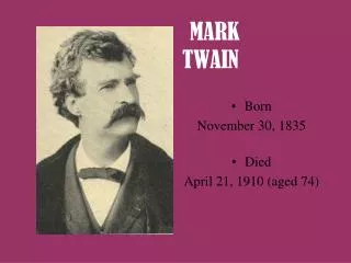
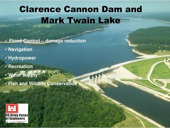
Flood Control – damage reduction Navigation Hydropower Recreation Water supply Fish and Wildlife Conservation. Clarence Cannon Dam and Mark Twain Lake . 1970-1983 Full reservoir by spring of 1984 54,000 acre project 18,600 acre lake. Clarence Cannon Dam and Mark Twain Lake .

E N D
Flood Control – damage reduction • Navigation • Hydropower • Recreation • Water supply • Fish and Wildlife Conservation Clarence Cannon Dam and Mark Twain Lake
1970-1983 • Full reservoir by spring of 1984 • 54,000 acre project • 18,600 acre lake Clarence Cannon Dam and Mark Twain Lake
Multiple 4-lane launch ramps • 4 high water launch ramps • 3 Corps campgrounds + 1 state park campground • 2 Corps Group campgrounds + 1 Group Area • Multiple picnic shelters and sites • 3 beaches – 2 Corps, 1 state • Miles of multi-use trails (includes equestrian use) • 3 Visitor Centers 2 Corps, 1 state • 30,000 acres of public hunting • Multiple hunter fishermen accesses/1 lane ramps Clarence Cannon Dam and Mark Twain Lake
The U.S. Army Corps of Engineers has been involved in regulating certain activities in the nation's waters since 1890. Until 1968, the primary thrust of the Corps' regulatory program was the protection of navigation. As a result of several new laws and judicial decisions, the program has evolved to one involving the consideration of the full public interest by balancing the favorable impacts against the detrimental impacts. This is known as the "public interest review." The program is one which reflects the national concerns for both the protection and utilization of important resources
WHO NEEDS A PERMIT? You may need a permit from the Corps of Engineers to work on your own land. If your work is in a water area, or where water lays or runs just part of the year, your activity may be regulated by federal law. While it is easy to recognize lakes and rivers, and most people can identify a dry streambed, wetlands are not always as obvious. Some wetlands have trees and appear to be dry most of the year. Most people don't understand or recognize the limits of a wetland. U.S. Army Corps of Engineers Regulatory Program Regulations (33 CFR 320-331) Under the Clean Water Act (404)
What is a watershed? Where fish hide in an aquarium. A shed with water in it.
What is a watershed? • The ridge or crestline dividing two drainage areas • the region or area drained by a river, stream, etc • -Random House Dictionary • 3. watershed is the land area that contributes water to a given point in a stream or river - • -Schultz - ISU
www.watersheds.org www.mvs.usace.army.mil
Environmental Education Day • Up to 1200 students • Up to 30 booth/stations • Learn what is being done to promote, protect and enhance our natural environment • Partners contribute $2500 of $3800 event cost Interpretive Services and Outreach Program