Download
1 / 19
190 likes | 200 Views
Explore the use of airborne remote sensing technology to detect and monitor invasive plants, specifically honeysuckle, in forested systems. This study focuses on a large-scale area in the Equinox Highlands, Vermont, using high-resolution multispectral imagery with stereo capability.

E N D
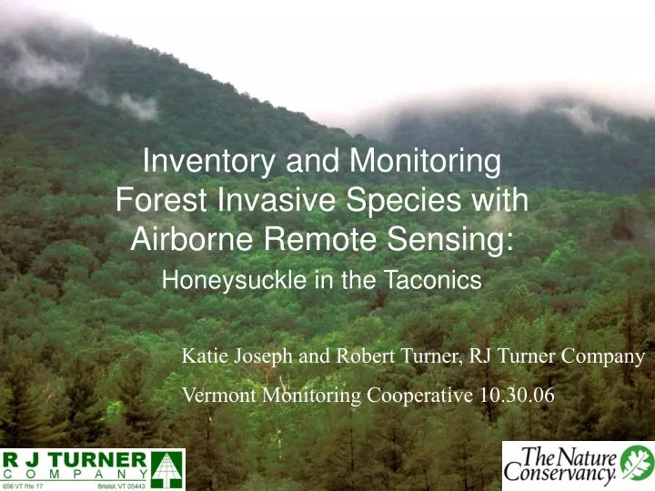
Inventory and Monitoring Forest Invasive Species with Airborne Remote Sensing: Honeysuckle in the Taconics Katie Joseph and Robert Turner, RJ Turner Company Vermont Monitoring Cooperative 10.30.06
The Question • Can invasive plants be detected over a large scale in forested systems using remote sensing technology?
The Opportunity • Vermont TNC was investigating 3,700 acres in core of Equinox Highlands matrix block • Matrix block: large scale, relatively unfragmented landscape, bounded by fragmenting features such as roads
The Opportunity • Timber cruise plus information on presence of invasives • Opportunity to apply new technology to the problem • AIMS-1 technology: high resolution multispectral airborne imagery with stereo capability
Equinox Highlands 63,000 A landscape Northern Taconics Mountainous (3,800 ft) 90% forested Marbles; carbonates The Site Mt. Equinox
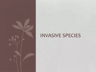
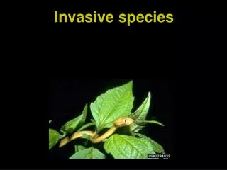
The Threat Bush honeysuckles Japanese barberry Buckthorn
The Threat Insert Map of cruise points with colors indicating the presence of honeysuckle and barberry • Timber cruise data gives us an indication of where invasion is occurring and what species pose the greatest threat
Our Goal: Differentiate invasives from surrounding, native vegetation • The 3 invasives leaf out early, stay late • Heights are definable, shrub strata • High probability of invasion near disturbed and open areas
The Tools • Low elevation photography • 75 cm pixel size: full coverage • 15 cm pixel size: sample coverage • Multispectral (red, blue, green, and near infrared) • Stereo capability for both 15 cm and 75 cm (3D viewing)
April 26, 2006: Flight with the AIMS-1 sensor (Mt Holyoke Geoprocessing Lab) Initial Ground Control Collection with GPS Fall 2006: Additional Ground Control Collection with GPS The Process: Data Insert Map of photo centers: 15 cm and 75 cm (Flight Paths)
The Process: Image Preparation • Image pre-processing • Create stereo blocks for stereo interpretation: 3D viewing • Create orthophotos (correct for variation in terrain) and orthomosaic (stitch all of the orthophotos together to make a single image)
75 cm resolution 15 cm resolution
The Process: Analysis • Stereo interpretation (3D viewing) used to differentiate vegetation types and strata • Serves as training in classification
The Process: Analysis • Supervised Classification • Accuracy Assessment: How did we do?
Results so far • More ground-truthing needed this fall • Preliminary results—honeysuckle detectable • Spatial accuracy better than timber cruise, we can get precise location for single shrubs • Remaining question whether honeysuckle signature “clean enough”
Feasibility • Cost • Remote sensing expertise & software needed • Imagery can be custom flown, easily arranged
Additional Remote Sensing Opportunities with AIMS-1 products • Forest stand typing • Forest inventory • Coarse woody debris inventory • Future flights: Invasive plant monitoring over time
Additional Remote Sensing Opportunities with AIMS-1 products • Current projects associated with the AIMS-1 Sensor include • Hemlock Wooly Adelgid monitoring • Detailed Crown Cover Mapping • Spatial Database Creation of Drainage Features • Habitat Feature Extraction Along the Lamprey River, Energy Modeling of Hydrologic Features
Project Credits • Rose Paul • The Nature Conservancy • rpaul@TNC.ORG> • Thomas Millette • Mt. Holyoke College Geoprocessing Lab • tmillett@mtholyoke.edu • Jeremy Turner 603-526-8686 • Meadowsend Timberlands Ltd.