Download
1 / 23
230 likes | 314 Views
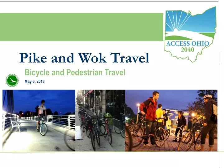
Pike and Wok Travel. WELCOME. Bicycle and Pedestrian Travel. May 6, 2013. Steering Committee Meeting #1. Multimodal Corridors. What are Corridors

E N D
Pike and Wok Travel WELCOME Bicycle and Pedestrian Travel May 6, 2013 Steering Committee Meeting #1 Jun 12, 2012
Multimodal Corridors What are Corridors • Corridors are an extensive and integrated multi-modal transportation network affording Ohioans the accessibility and mobility needed to move people and goods throughout Ohio. • Corridors subdivide Ohio’s transportation networks into origins and destinations to facilitate analysis and discussion. • Corridors are multimodal!! May 2013
Corridor Modes • Transportation Mode to be Analyzed • Aviation • Bicycle • Highway • Maritime • Rail • Transit May 2013
Corridor Identification Criteria • Volume -a measure of passenger and freight traffic • Classification –Federal or state designations • Connectivity–a consideration of connections to other identified corridors or large population and employment centers May 2013
Corridor Categorization • National Corridors - connect large metropolitan areas in Ohio and adjacent regions. These corridors support heavy passenger traffic and are important to the national economy as they carry large volumes of freight both inside and outside Ohio. • Statewide Primary Corridors - connect metropolitan areas within Ohio. They are important to the statewide economy as they carry freight between regions of the state. These corridors have some national travel, but are predominately used for statewide passenger and freight trips. • Statewide Secondary Corridors - connect people and goods within and between regions of the state. They have some national and statewide travel, but are predominantly used for smaller regional trips. • LocalCorridors - have lower traffic volumes and provide connectivity between other corridors and local destinations. May 2013
Bicycle Corridors Bicycle Criteria • Classification-A consideration if whether a bike routes is part of a designated bike routes system • Connectivity - a consideration of bike routes which connect to AASHTO bike routes or population centers over 50,000 May 2013
Bicycle Corridors AND May 2013
Corridor ID Process How the Bike Trunk Route System was established • Centroids • Links • Routes • Level of service • Label the routes May 2013
Centroids Centroids were defined as any population center greater than 50,000 May 2013
Links Links were added to connect the centroids… May 2013
Routes Routes were defined based on LOS… May 2013
Level of Service Criteria • Shoulder Width • Lane width • Pavement conditions • Speed limits • Car and truck volumes • Existing bike facilities May 2013
Level of Service FDOT Bicycle LOS Equation • Planning level application of BLOS model • Used on over 300,000 centerline miles • Basis for the segment model in HCM2010 • Cyclists rated actual road segments • Publishedin TRR 1578 A/B C/D E/F
Bicycle LOS Model BLOS = a1ln(Vol15/L) + a2SPt(1+10.38HV)2 + a3(1/PC5)2 - a4(We)2 + C where Vol15 = volume of directional traffic in 15 minutes time period L = total number of through lanes SPt = effective speed limit (see below) SPt = 1.12ln(SPP -20) + 0.81 SPP = Posted speed limit HV = percentage of heavy vehicles PC5 = FHWA’s five point surface condition rating We = Average effective width of outside through lane
Level of Service Categories Level-of-Service BLOS Score > A 1.5 > B 1.5 2.5 > and > > C 2.5 3.5 and > > D 3.5 4.5 and > E 4.5 5.5 > and F 5.5 >
LOS Inputs & Defaults • Paved shoulder/bike lane (from data base) • Derived from pavement width minus lane width • Outside lane width (default 12’ state, 11’ local) • Traffic volume (ADT inputted and converted to peak 15 min) • Defaults for local roads with no volume data • Motorized vehicle speed (posted speed + 5 mph) • Percent heavy vehicles (from data base or defaulted to 4%) • Pavement condition (5 point condition scale from database)
Outside Lane Width 12 Feet – (Typical)
Level of Service Automating the Process • Spreadsheet testing – logic – sets defaults • Roadway paved? • Roadway not an interstate? • Segment an existing bikeway? • State/local, Urban/rural section? • Sets defaults for, speed, volume, trucks, lane width, shoulders, etc May 2013
Using LOS to Establish “Impedance” • A = 1 (The segment passes into the network carrying its original length as impedance) • B = 2 • C = 10 • D = 30 • E = 40 • F = 55 (Segment is 55 times more of an impediment than length alone) • Statewide Significant Bikeways = .5 May 2013
Bicycle Corridors May 2013
Bicycle Corridors • Routes (Corridors) May 2013
Bicycle Corridors May 2013
Questions Chuck Dyer Project Manager – Access Ohio 2040 Chuck.Dyer@dot.state.oh.us (614) 466-3718 Martin Guttenplan, AICP Senior Transportation Planner – CDM Smith GuttenplanME@cdmsith.com (850) 386-9528 May 2013