Download

1 / 9
100 likes | 420 Views
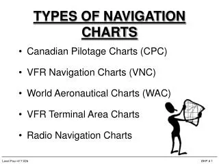
Navigation Charts. What is the scale of the sectional charts? 1:500,000 VFR terminal charts? 1:250,000 WAC charts? 1:1,000,000. Navigation Charts. What is the contour interval of sectional charts?. Navigation Charts. What is the contour interval of sectional charts? 250 feet.

E N D
Navigation Charts • What is the scale of the sectional charts? • 1:500,000 • VFR terminal charts? • 1:250,000 • WAC charts? • 1:1,000,000
Navigation Charts • What is the contour interval of sectional charts?
Navigation Charts • What is the contour interval of sectional charts? • 250 feet
Navigation Charts • Each rectangular area bounded by lines of latitude and longitude contains a pair of numbers in bold print? • What are these numbers called? • Maximum elevation figure (MEF)
Navigation Charts • What do they indicate? • Height of the maximum elevation of terrain or obstructions within that area
Navigation Charts • What are isogonic lines?
Navigation Charts • What are isogonic lines? • Points with identical magnetic variation
Navigation Charts • You are located at Providence RI with a variation of 14oW. Do you add or subtract the variation from the true heading to obtain the magnetic heading? • ADD