Download
1 / 9
90 likes | 222 Views
Houston. ARCH 5502 Fall 2010 Professor Torres-Macdonald Jonathan Cordingley. Watersheds.

E N D
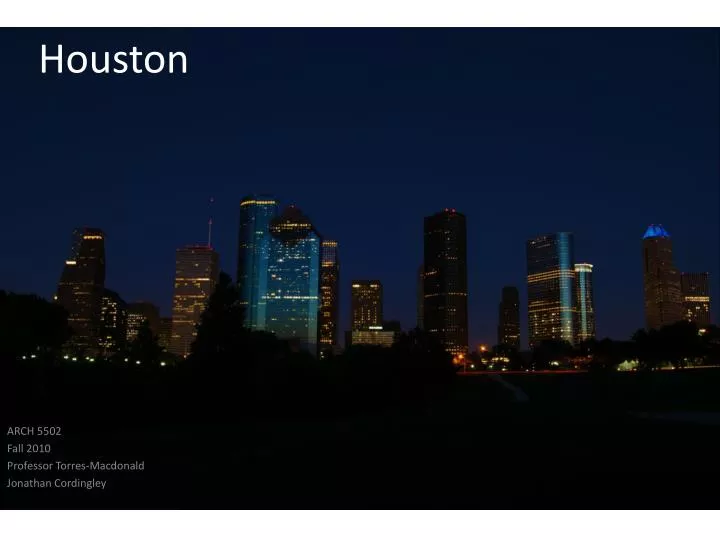
Houston ARCH 5502 Fall 2010 Professor Torres-Macdonald Jonathan Cordingley
Watersheds “A watershed is simply the area of land that drains to a common outlet (usually a stream or river). The watershed is usually named for the river that drains it. For example, the Colorado River watershed is drained by the Colorado River. Watersheds can be large (like the Colorado) or small (like Horsepen Bayou), and smaller watersheds exist within larger watershed.” Buffalo Bayou is the largest primary stream within the watershed and also the sole outlet for the Addicks and Barker reservoirs. The bayou flows into the Houston Ship Channel after combining with White Oak Bayou and passing through downtown Houston. The Buffalo Bayou watershed covers approximately 103 square miles and has about 47 miles of open streams within the watershed. The estimated population within the watershed (Harris County portion) is just over 410,000. Image Source: http://www.hcfcd.org/L_buffalobayou.html
Flood Plains • To describe a flood’s likelihood of happening within any single year a percentage of chance is used. For example, a flood that is referred to as a “100-year flood” would have a 1% chance of being equaled or exceeded in a given year at a given location. Over thousands of years, such an event would occur, on average, about once every 100 years, which gives us the term “100-year flood.” • A “500-year flood” has a 0.2% chance of being equaled or exceeded in any given year at a given location, or on average about once every 500 years. • The risk of experiencing any of these rare events increases when periods of more than one year are considered. It’s not necessarily once in a hundred years for that 100-year, or 1% event. It’s at least a 1% chance every year. As the years stack up, so do the chances. For a homeowner located on the very edge of the 1% floodplain (like House “B” above), the increased likelihood of experiencing a 1% flood over a number of years becomes a serious consideration. For example, over a 30-year mortgage, this house has a 26% chance that it will experience at least one storm that is equal to or greater than the 1% event. Image Source: http://maps2.tsarp.org/tsarp/#
Houston Image Source: http://maps.google.com
Inner Loop Image Source: http://maps.google.com
Flood Plains Image Source: http://maps2.tsarp.org/tsarp/#
Flood Plains Image Source: http://maps2.tsarp.org/tsarp/#
Sources "Buffalo Bayou Watershed." Harris County Flood Control District. Web. 01 Sept. 2010. <http://www.hcfcd.org/L_buffalobayou.html>. Google Maps. Web. 01 Sept. 2010. <http://maps.google.com>. Hcad, By. "TSARP Interactive Mapping Tool." TSARP Interactive Mapping Tool. Web. 01 Sept. 2010. <http://maps2.tsarp.org/tsarp/#>.